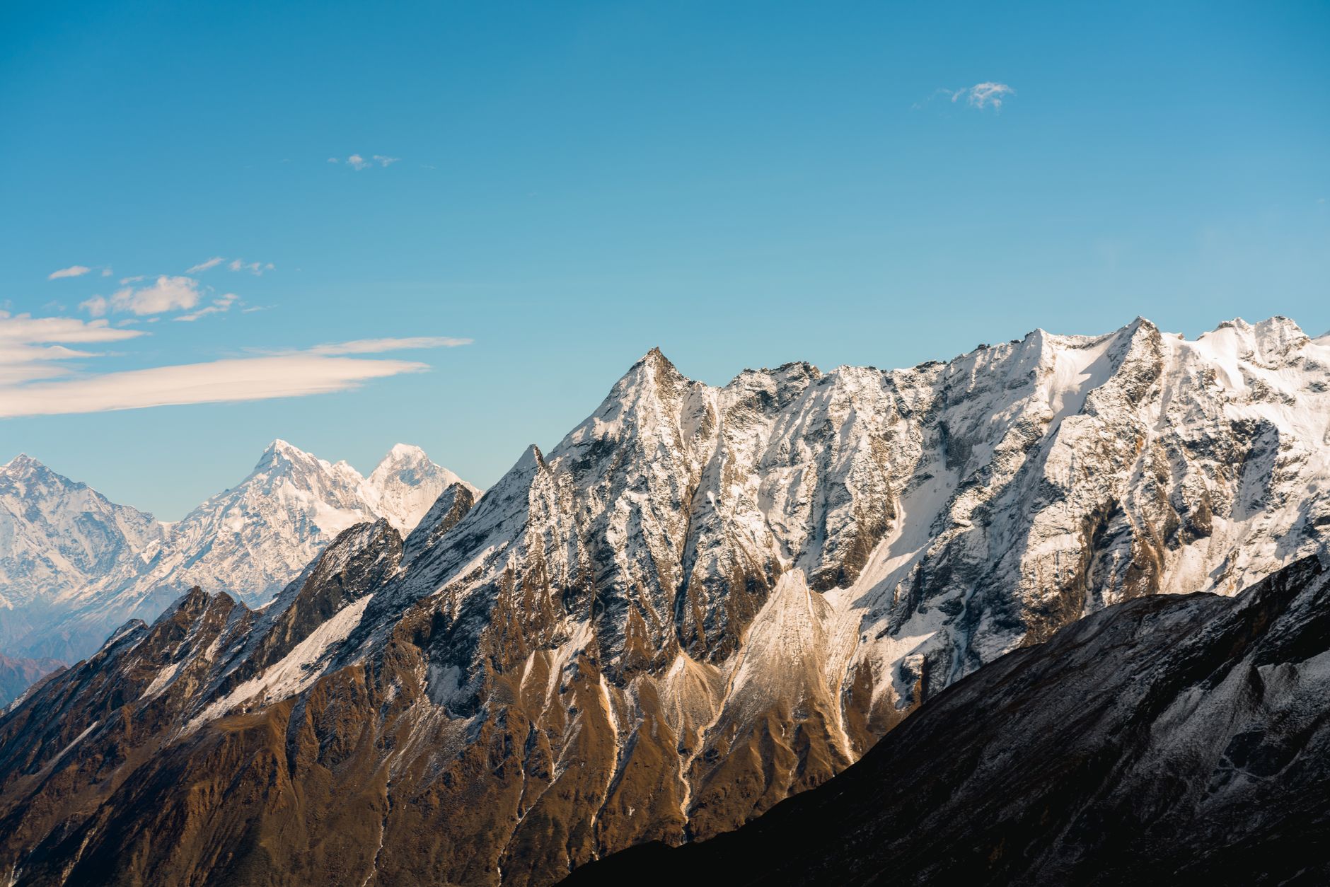
At about 2:13 p.m. on 15 January 1934, a magnitude 8.0 earthquake ruptured a section of the Main Himalayan Thrust system, the fault beneath the Himalayas where the Indian Plate is thrust under Eurasia. The epicentre lay in eastern Nepal near the border with the Indian state of Bihar, and shaking was felt across a vast swathe of the subcontinent.
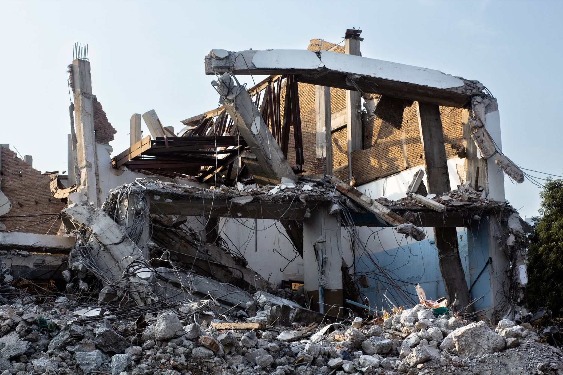
Estimates of the dead range from about 10,700 to 32,700 across Nepal and Bihar. In Kathmandu Valley, historic temples, palaces and forts were badly damaged or collapsed outright. Across the flat Gangetic plain of northern Bihar, deep alluvial soil around Munger and Muzaffarpur liquefied violently, a phenomenon locals called 'Bihar sand' after fountains of sand and water burst from the ground and swallowed buildings, roads and fields far from the epicentre.
Mahatma Gandhi personally visited the devastated region and helped mobilise national relief efforts, and the disaster is credited with spurring some of South Asia's earliest attempts at seismic-resistant construction guidance. It struck a region with almost no instrumental seismic monitoring at the time, so much of what is known today comes from damage surveys and eyewitness accounts compiled afterward.
The 1934 earthquake remains the reference event for the Main Himalayan Thrust's capacity to produce magnitude 8+ ruptures, and Nepal's National Seismological Center cites it alongside the 2015 Gorkha earthquake as evidence that large sections of the fault can still be locked and building strain today.