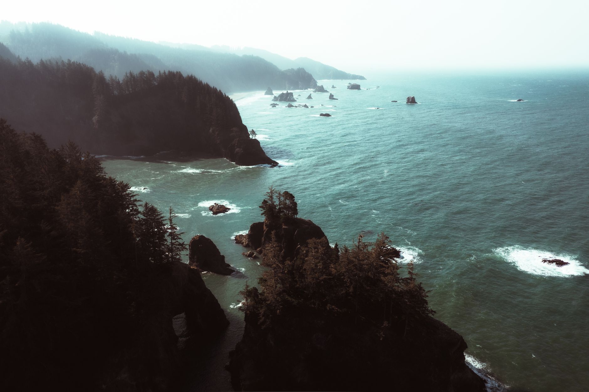
No one in North America wrote down what happened on the night of 26 January 1700, when the Cascadia Subduction Zone — the fault running roughly 1,000 km offshore from northern California to British Columbia — ruptured in an estimated magnitude 8.7 to 9.2 earthquake, one of the largest in the world in the last thousand years.
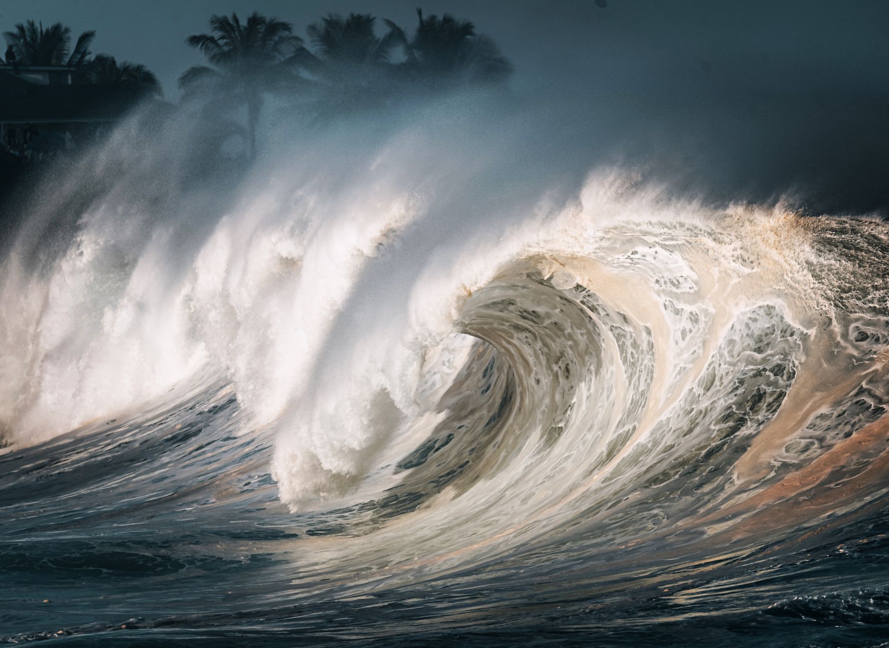
The date and even the approximate hour, around 9 p.m. local time, were reconstructed almost three centuries later, not from any record in the Pacific Northwest but from Japan. Coastal villages there recorded a damaging tsunami on 27–28 January 1700 with no earthquake of their own to explain it — what Japanese scholars called an 'orphan tsunami'. Because a tsunami takes about ten hours to cross the Pacific, researchers worked backward to pinpoint the source quake's timing on the Cascadia coast.
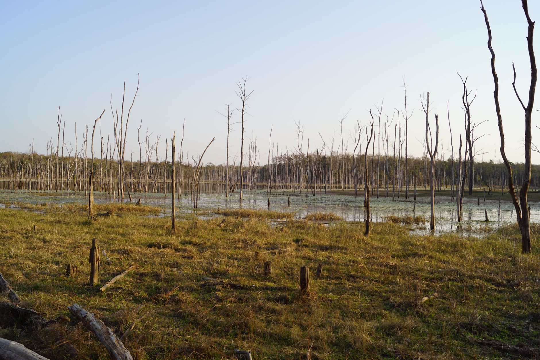
Physical evidence backs up the story: geologists found 'ghost forests' of cedar trees killed instantly when the coastline dropped by up to two metres and was flooded with saltwater, plus buried layers of sand deposited by the tsunami in coastal marshes from Washington to northern California. Oral histories passed down by Pacific Northwest Indigenous peoples, including the Huu-ay-aht and other Nuu-chah-nulth nations on Vancouver Island, also describe a great shaking and flooding consistent with the date.
The Cascadia Subduction Zone has produced roughly forty such megathrust earthquakes over the past 10,000 years, on average every 200 to 500 years, according to USGS and university research based on offshore sediment cores. That makes another Cascadia megaquake — capable of devastating Seattle, Portland and Vancouver with severe shaking and a major tsunami — a matter of scientific expectation rather than speculation, which is why the region now trains regularly for 'The Big One'.