At 6:58 p.m. on 16 April 2016, a magnitude 7.8 earthquake struck Ecuador's Pacific coast, with an epicentre near Pedernales in Manabí Province, at the subduction boundary where the Nazca Plate dives beneath the South American Plate — the same tectonic setting responsible for the 1906 Ecuador-Colombia mega-quake and its tsunami further north.
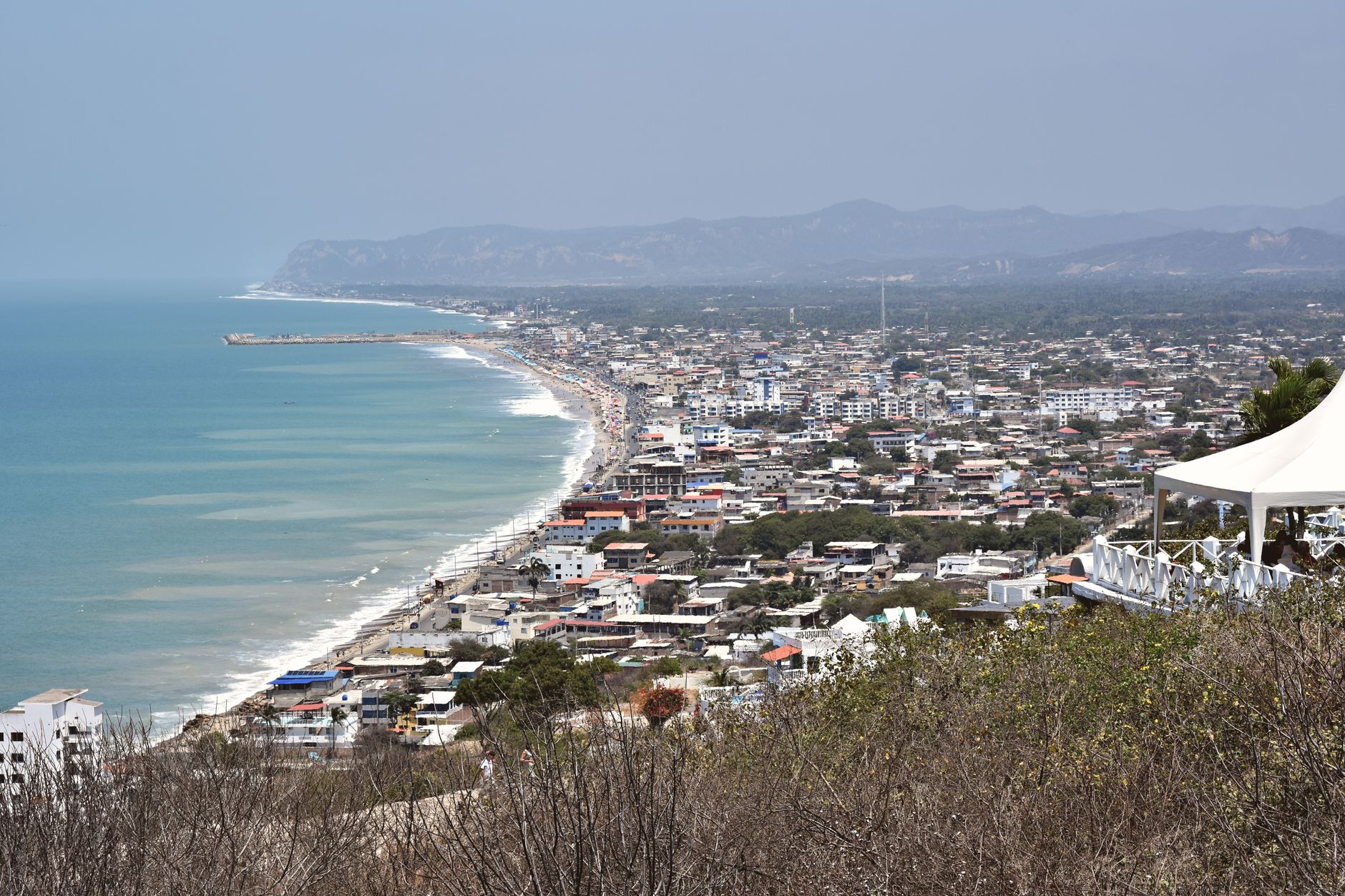
Ecuador's national risk-management agency put the death toll at roughly 663 to 676 people, with more than 6,200 injured and around 29,000 people displaced into shelters. Coastal towns closest to the epicentre, including Pedernales, Manta and Portoviejo, suffered the heaviest destruction, with hotels, hospitals and municipal buildings collapsing in cities more than 150 km from the rupture.

USGS data show the quake was a shallow megathrust rupture roughly 20 km deep, generating strong, prolonged shaking felt across a large swath of coastal and highland Ecuador, including the capital Quito. Damage and losses were estimated at several billion dollars, among the costliest natural disasters in Ecuador's modern history.
The Instituto Geofísico of Ecuador's national polytechnic university used the disaster to expand the country's seismic-monitoring network in the years that followed, and the 2016 quake remains the reference event for coastal building-code enforcement and tsunami-evacuation planning along Ecuador's Pacific coast today.