At around 2:00 a.m. on 27 December 1939, a magnitude 7.8 earthquake ruptured roughly 360 km of the North Anatolian Fault beneath Erzincan Province in eastern Turkey — the same fault system that would later produce the 1999 İzmit earthquake further west. It remains the largest rupture ever recorded on this fault and the deadliest earthquake in Turkish history.
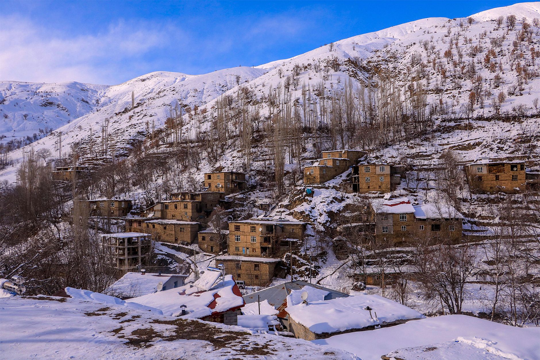
NOAA's Significant Earthquake Database and Turkish records put the death toll at roughly 32,700, with about 100,000 people injured and the city of Erzincan almost completely destroyed. The disaster struck during one of the harshest winters on record, with temperatures near -30°C; survivors trapped under rubble or left homeless in the snow died of exposure for days afterward, sharply increasing the final toll beyond the initial collapse.
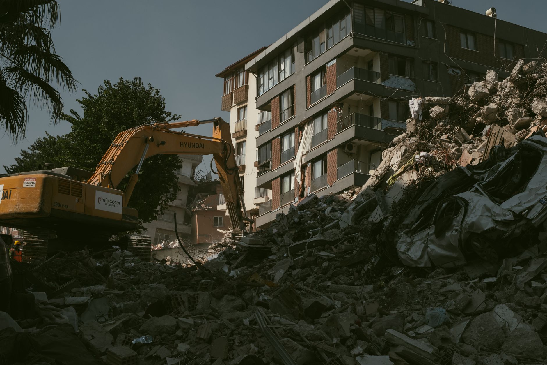
Because the region was remote and mountainous, rescue and relief columns took days to reach the worst-hit villages, and some communities were effectively cut off until spring. The quake also triggered a localised tsunami on the Black Sea coast near the fault's northern end, an unusual effect for an inland strike-slip rupture.
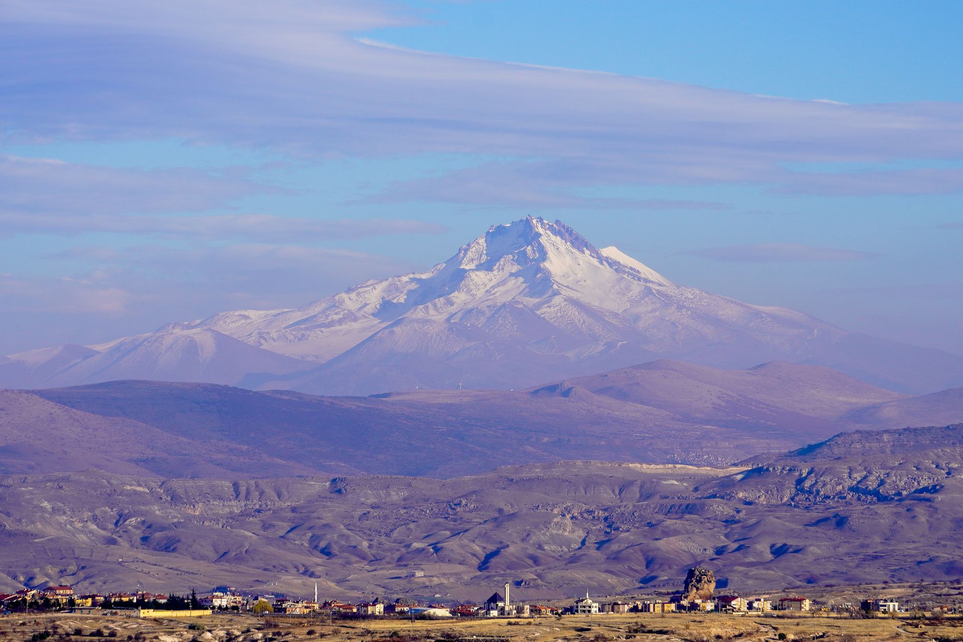
The 1939 Erzincan earthquake became a founding case study for Turkish and international seismology, helping researchers map the North Anatolian Fault's westward-migrating sequence of large ruptures through the 20th century — a pattern that directly informed hazard warnings for Istanbul, which sits on a segment of the same fault still considered overdue for a major earthquake.