At 3:01 a.m. on 4 February 1976, a magnitude 7.5 earthquake ruptured roughly 230 km of the Motagua Fault, a major strike-slip boundary that cuts across central Guatemala between the North American and Caribbean tectonic plates. The shallow, pre-dawn quake caught most of the country asleep.
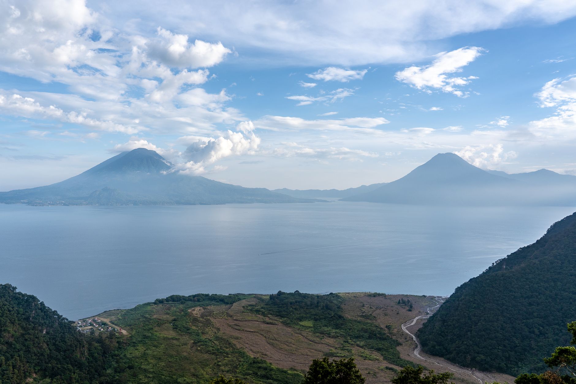
The disaster killed an estimated 23,000 people and injured more than 76,000, with over a million left homeless — about a fifth of Guatemala's population at the time. Rural adobe and unreinforced masonry housing collapsed almost universally in the hardest-hit highland departments, including Chimaltenango, where some towns lost most of their buildings.
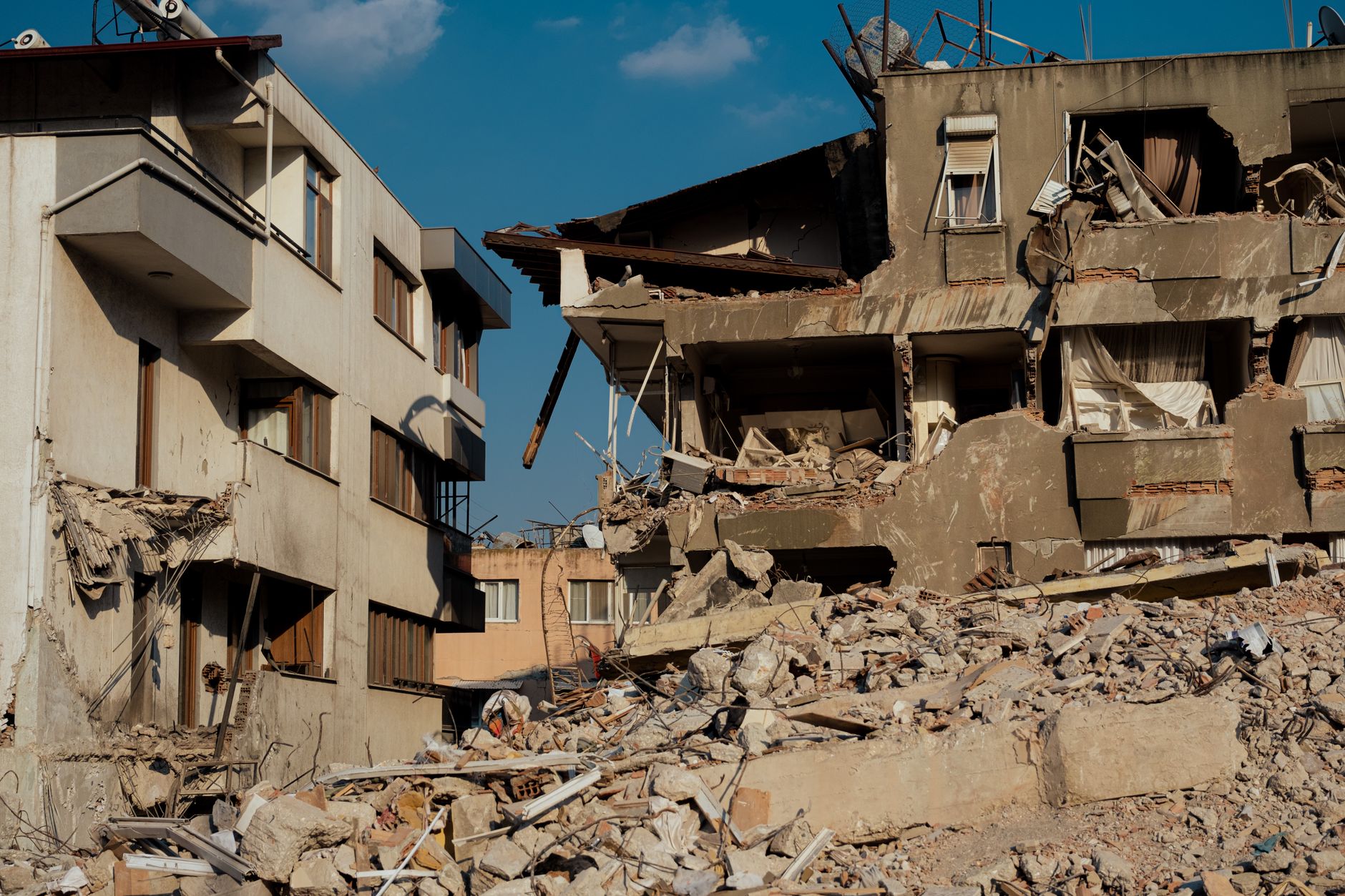
USGS surface-rupture studies found the Motagua Fault moved horizontally by more than a metre in places, offsetting roads, fences and rivers along its length — one of the clearest examples of strike-slip surface rupture documented in Central America. The earthquake is still the deadliest natural disaster in Guatemala's modern history.

The 1976 quake pushed Guatemala to overhaul its building codes and disaster-response systems, and it remains the reference event for seismic hazard in Central America's Motagua-Polochic fault system, which continues to be closely monitored today.