At 8:46 a.m. on 26 January 2001 — India's Republic Day — a magnitude 7.7 earthquake struck the Kutch district of Gujarat, near the town of Bhuj, roughly 20 km northeast of Bhachau. Unusually, it occurred not at a plate boundary but within the stable interior of the Indian Plate, an intraplate setting that made it far more damaging over a wider area than its magnitude alone would suggest.

Official figures put the death toll at over 20,000, with some estimates reaching 20,800, and around 167,000 injured. Roughly 400,000 homes were destroyed and another 900,000 damaged across Gujarat, with shaking felt as far as Nepal and strongly across the border in Pakistan's Sindh province.
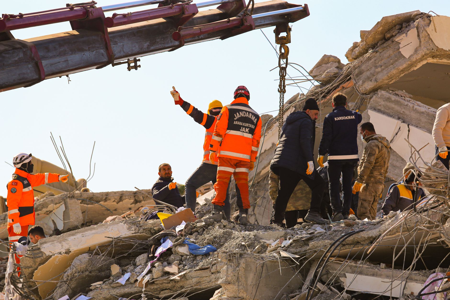
Bhuj and nearby towns of poorly reinforced masonry and unengineered concrete were flattened almost entirely, while the historic Kandla port and the Swaminarayan temple of Bhuj were badly damaged. It was India's deadliest earthquake since a similarly devastating 1819 Kutch quake in the same region, more than 180 years earlier.
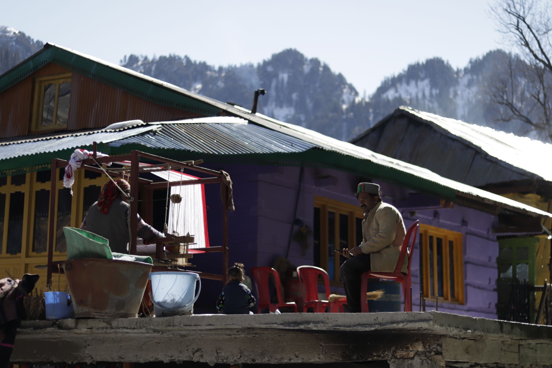
The disaster triggered India's first coordinated national disaster-management framework, including the creation of the Gujarat State Disaster Management Authority, and pushed the country to update its seismic building codes. The Kutch region — one of India's most seismically active intraplate zones — remains closely monitored, and the same 1819 fault segment is now recognised as a recurring source of major earthquakes.