At around 4 p.m. on 2 April 1868, a magnitude 7.9 earthquake struck the Ka'ū district on the south-eastern flank of the Big Island of Hawaii — still the largest earthquake ever recorded in the state's history. It was triggered by the flank of Kīlauea volcano slipping seaward, a mechanism distinct from the plate-boundary quakes common elsewhere in the Pacific.
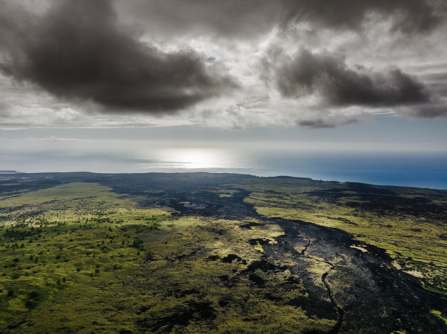
The shaking set off a massive landslide in Kapāpala's Wood Valley that buried a village, killing 31 people under a wall of mud roughly 5.5 km long and up to 12 metres thick in places. Minutes later a tsunami up to about 18 metres high struck the Ka'ū-Puna coastline, killing another 46 people — together accounting for nearly all of the earthquake's 77 fatalities.
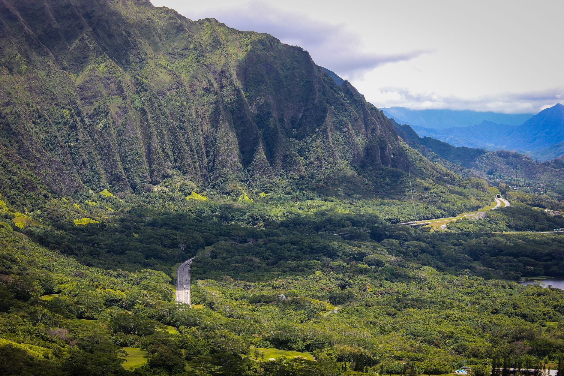
Contemporary accounts describe houses toppled, deep cracks opening in the ground, and people thrown off their feet by the violence of the shaking, which was followed by an eruption of lava from Kīlauea's flank days later — illustrating how Hawaii's earthquakes are frequently tied to the same volcanic system that built the islands.
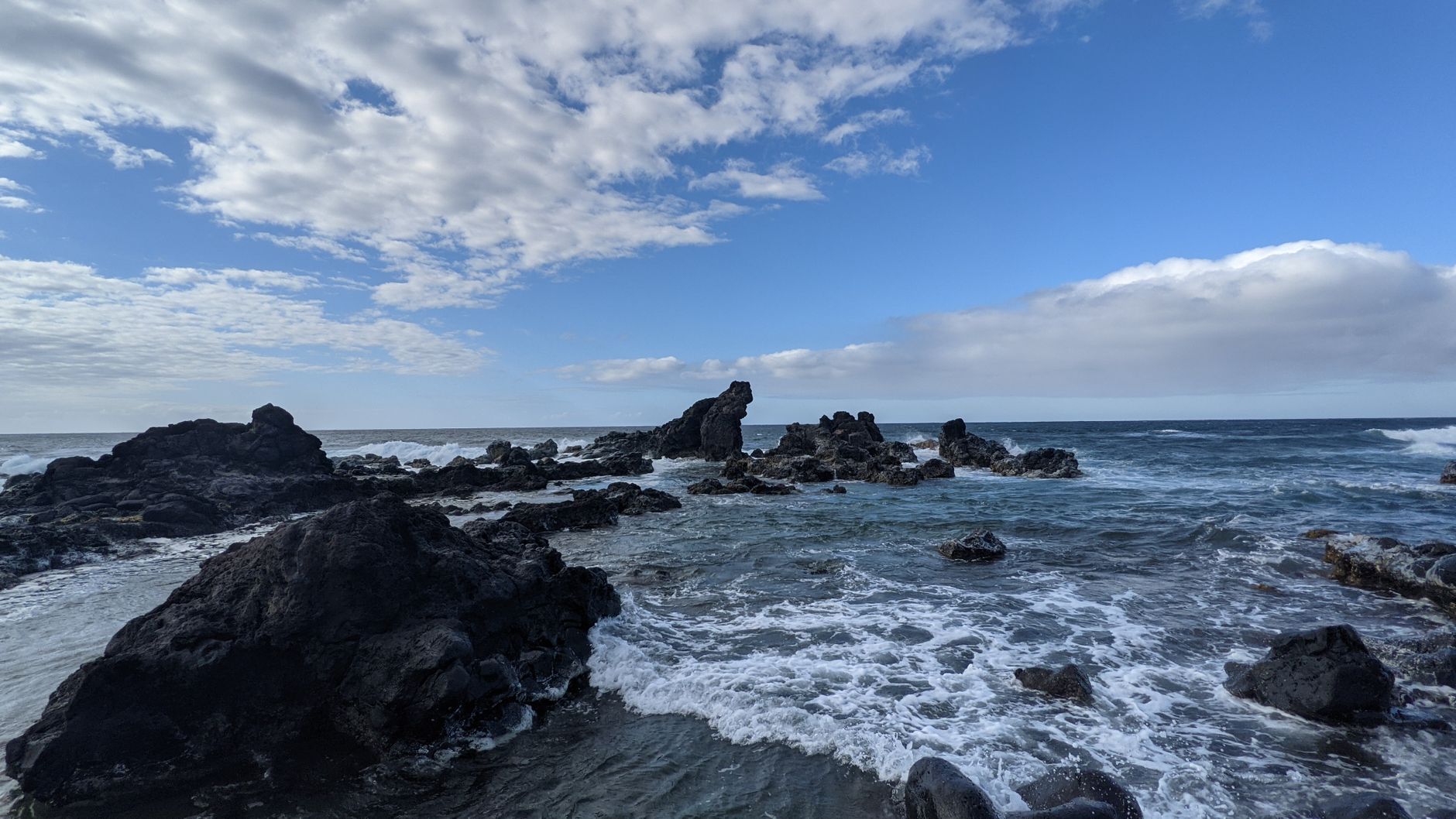
The 1868 Ka'ū earthquake remains the reference event for seismic hazard on Hawaii's Big Island. The US Geological Survey's Hawaiian Volcano Observatory continues to monitor the island's south flank closely, since the same volcanic-flank instability that caused the 1868 rupture is an ongoing process that could produce another large earthquake and tsunami in the future.