At 3:02 a.m. on 17 August 1999, a magnitude 7.6 earthquake struck the industrial city of İzmit (Kocaeli), about 90 km east of Istanbul, rupturing roughly 150 km of the North Anatolian Fault — one of the world's most studied strike-slip fault systems.

Around 17,000 people were officially confirmed dead, though independent estimates run considerably higher, and more than 250,000 buildings were damaged or destroyed. Many of the worst-hit apartment blocks were recently built, multi-storey structures that failed due to poor construction quality and inadequate enforcement of Turkey's existing building codes.
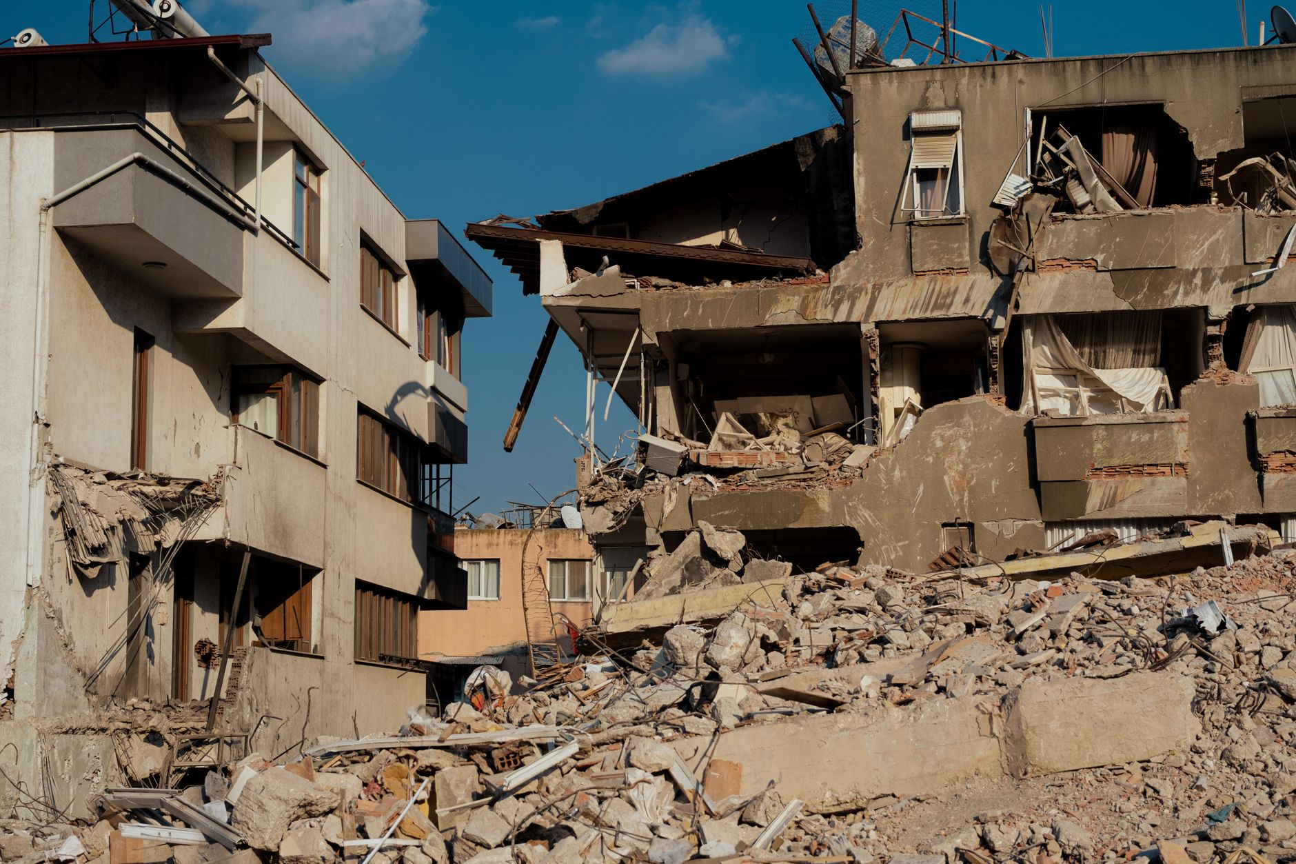
The quake also triggered a localised tsunami in the Gulf of İzmit and major fires at the Tüpraş oil refinery, compounding the disaster. It struck one of Turkey's most densely populated and industrialised regions, close enough to Istanbul that the capital region felt strong shaking.

İzmit sits on a fault segment that seismologists had flagged for decades as overdue for rupture, and the disaster accelerated fears about a similar quake striking Istanbul directly — stress-transfer studies after 1999 identified an increased hazard on fault segments closer to the city, which remain under close monitoring today.