Between 16 December 1811 and 7 February 1812, a sequence of at least three enormous earthquakes struck the New Madrid Seismic Zone, a network of ancient faults buried deep beneath the Mississippi River near the Missouri-Tennessee-Kentucky-Arkansas border. According to the USGS, the main shocks are now estimated at moment magnitudes of about 7.6, 7.5 and 7.8 — making them, along with the 1700 Cascadia quake, among the largest ever documented in the contiguous United States away from the Pacific coast.
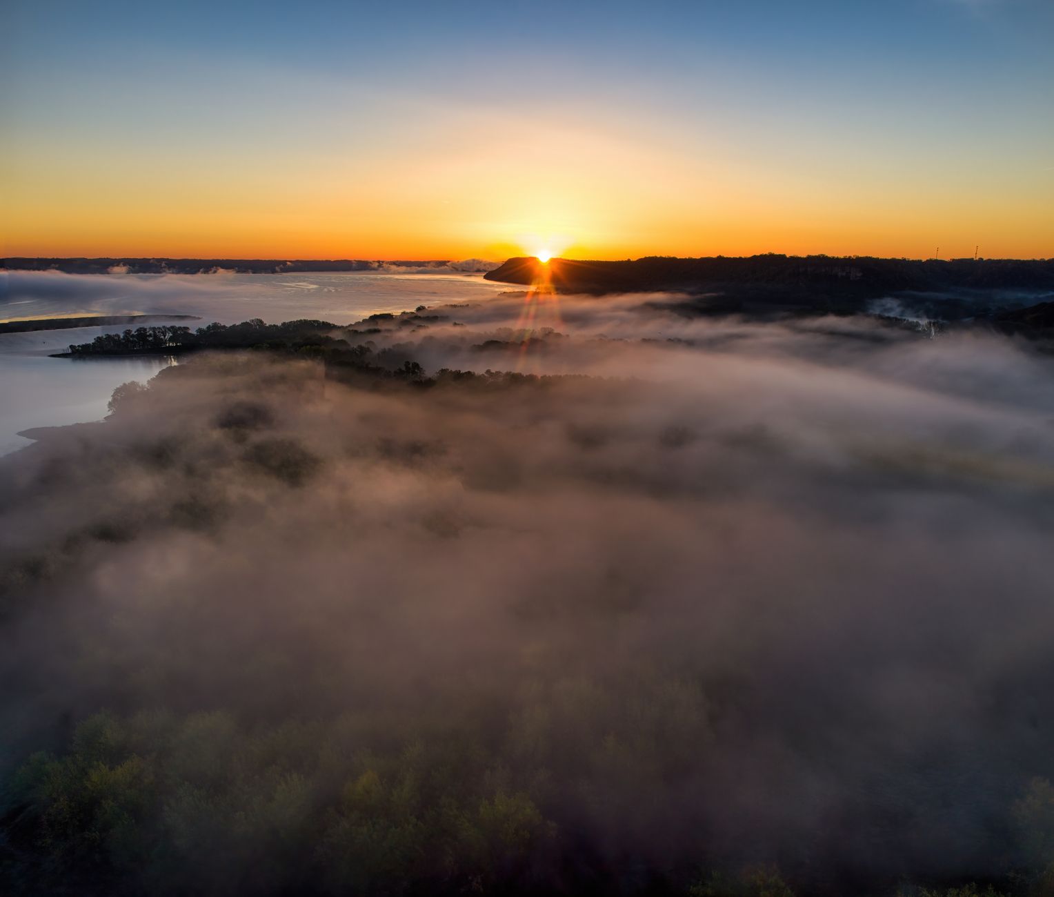
Unlike quakes on the West Coast, the shaking radiated across the geologically old, dense rock of the central and eastern US with unusual efficiency. NOAA's National Centers for Environmental Information (NCEI) Significant Earthquake Database and contemporary accounts describe chimneys toppling in Cincinnati, church bells ringing on their own in Boston and Charleston, and sidewalks cracking in Washington, D.C. — all more than 1,000 km from the epicentre. The area that felt strong shaking, over 600,000 square kilometres, dwarfs that of any California earthquake in recorded history.
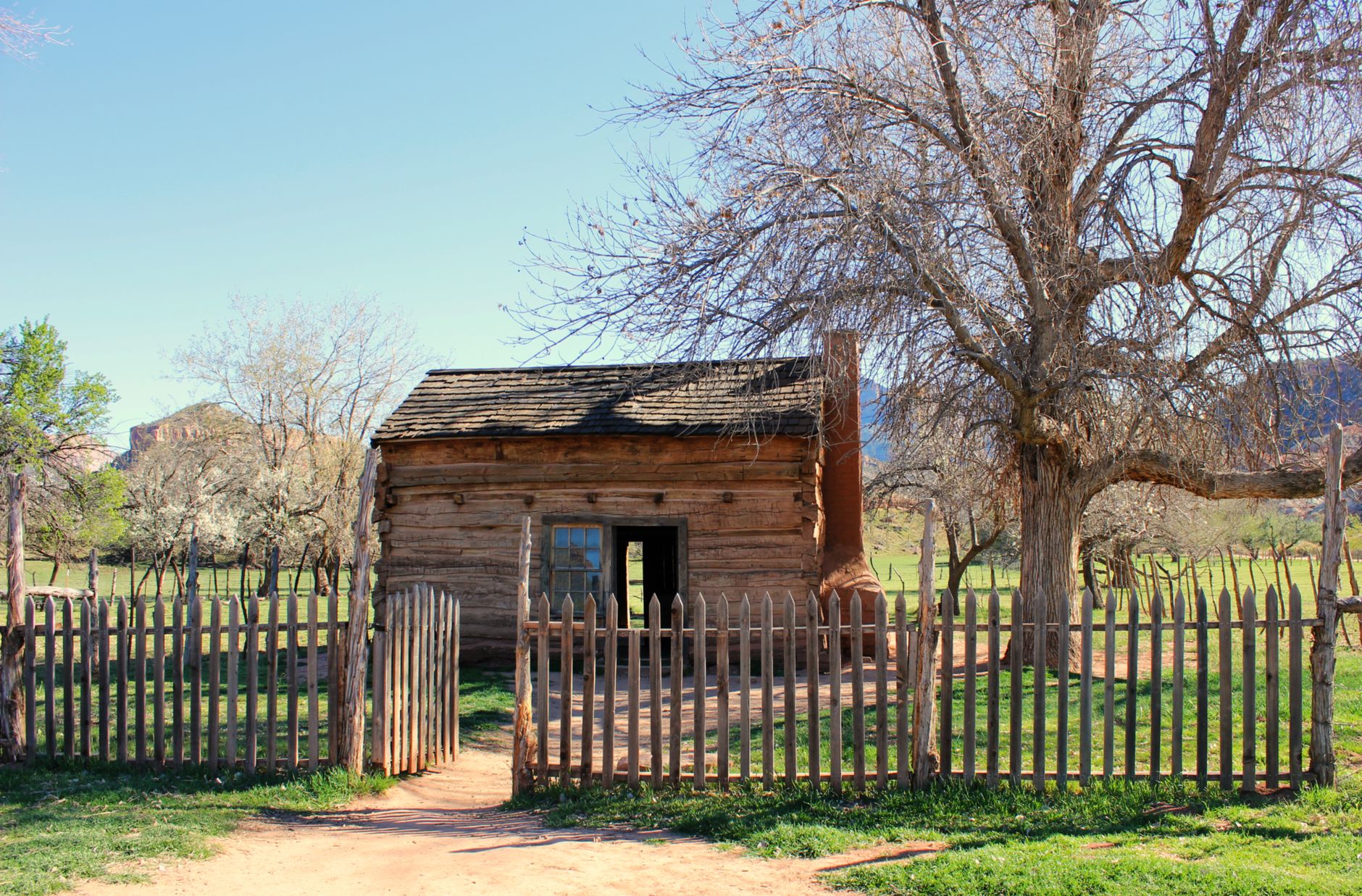
Because the region around New Madrid was still sparsely settled frontier country in 1811, the confirmed death toll is small and precisely unknown; most fatalities were drownings caused by riverbank collapses and landslide-triggered waves on the Mississippi. The February 1812 shock was strong enough to create Reelfoot Lake in Tennessee and, according to numerous eyewitnesses, made stretches of the Mississippi River appear to briefly flow backward as the riverbed buckled.

The New Madrid Seismic Zone remains active and closely monitored today: USGS and NOAA data show it produces around 200 small earthquakes a year, and hazard maps used for building codes across Memphis, St. Louis and the wider Mississippi Valley are still built directly on lessons from the 1811-1812 sequence.