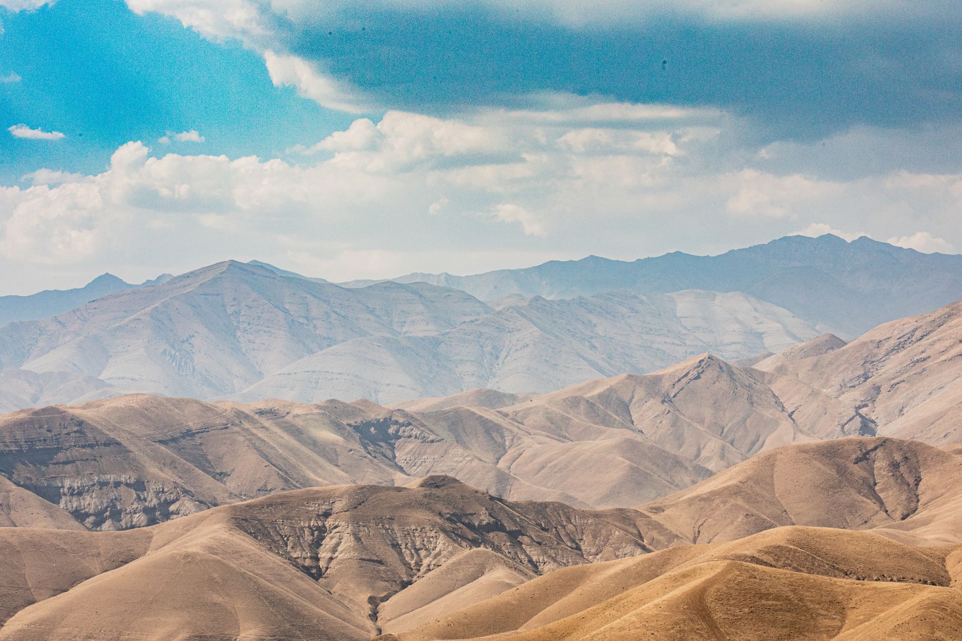
On the evening of 16 September 1978, a magnitude 7.4 earthquake ruptured a previously unmapped fault beneath the arid Kavir desert of east-central Iran. The town of Tabas, home to roughly 11,000–13,000 people, sat almost directly above the rupture.
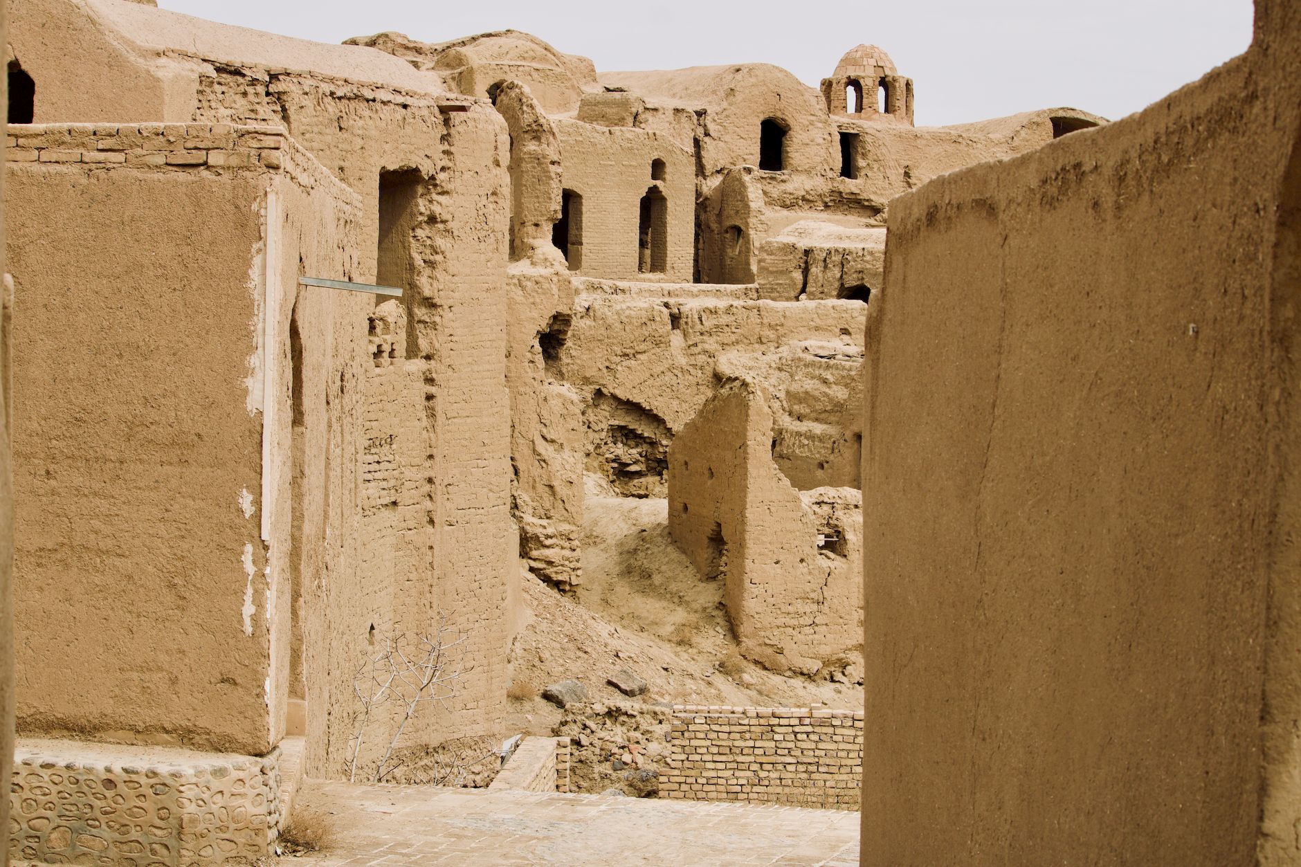
More than 80% of Tabas was destroyed within seconds. Estimates of the dead range from 15,000 to 25,000 across the wider region — a death toll close to the town's entire population, since Tabas itself lost most of its residents that night. Shaking of intensity IX or higher was felt across roughly 800 square kilometres.
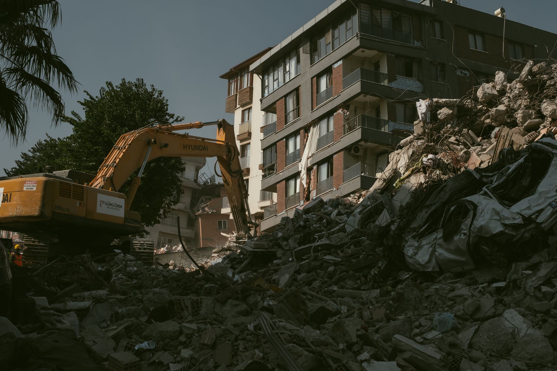
As in many Iranian towns of the era, most housing was unreinforced adobe and mudbrick, which offered almost no resistance to strong shaking and collapsed catastrophically onto residents inside. The remoteness of the desert region also delayed rescue teams and medical aid for days.
Tabas was rebuilt at a new location a few kilometres from the ruins of the old town, which were partly preserved as a memorial. The earthquake became a landmark case study for seismologists: its unusually clear surface rupture and strong-motion records reshaped how engineers model fault behaviour in blind-thrust earthquakes to this day.