Yes. Arequipa, in southern Peru, faces very high earthquake risk. It sits above one of the most active subduction zones on the planet, where the Nazca plate dives beneath the South American plate off the Peruvian coast. This process recurrently generates large-magnitude earthquakes, and southern Peru is considered one of the highest earthquake-hazard regions in all of South America.
Earthquakes in Arequipa: Southern Peru's Active Subduction
Advertisement
Latest quakes in this area
- Loading…
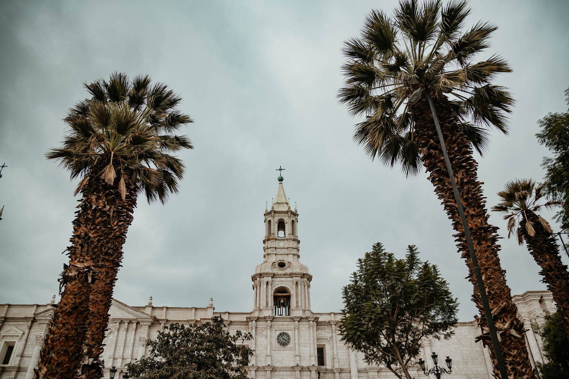
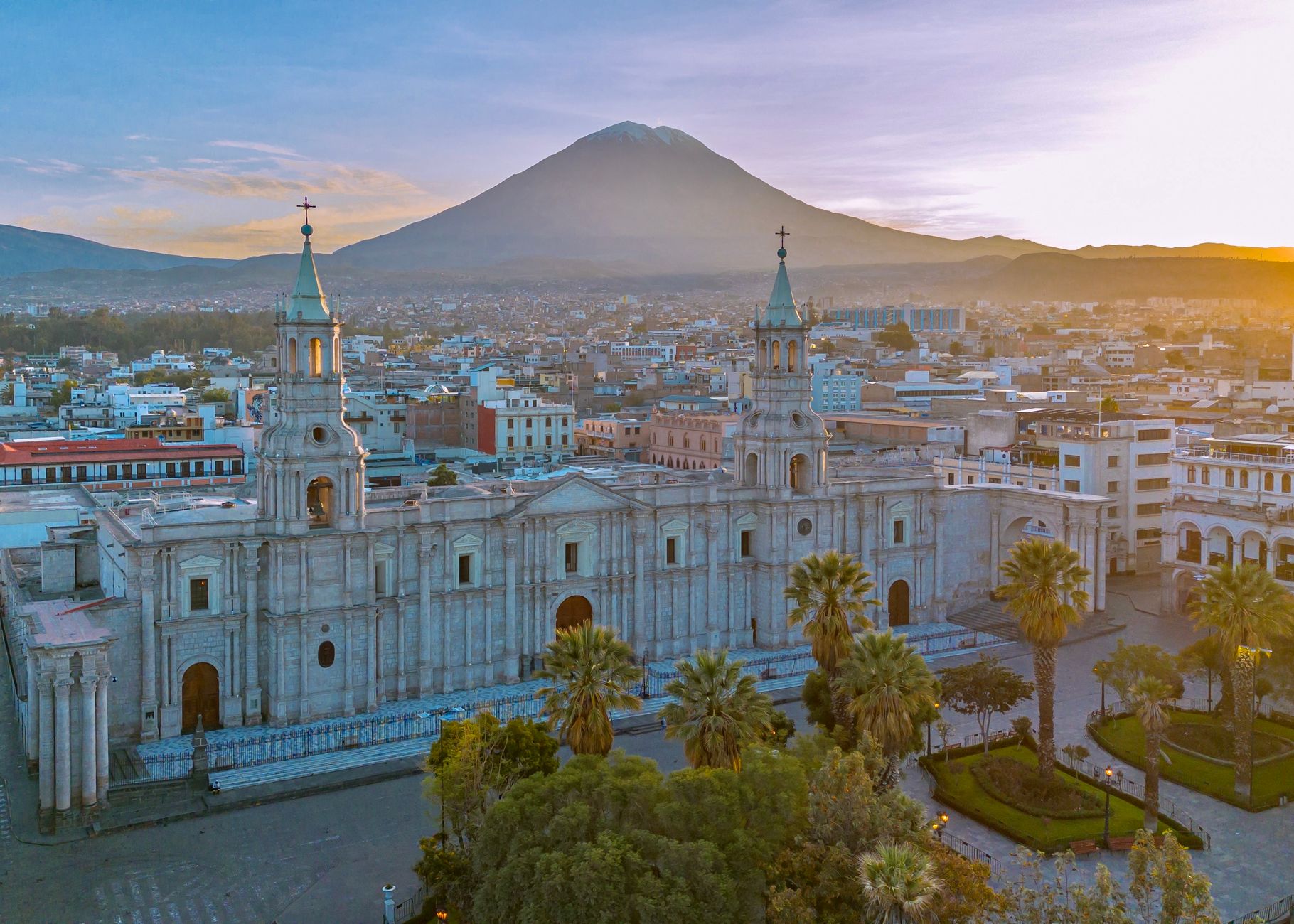
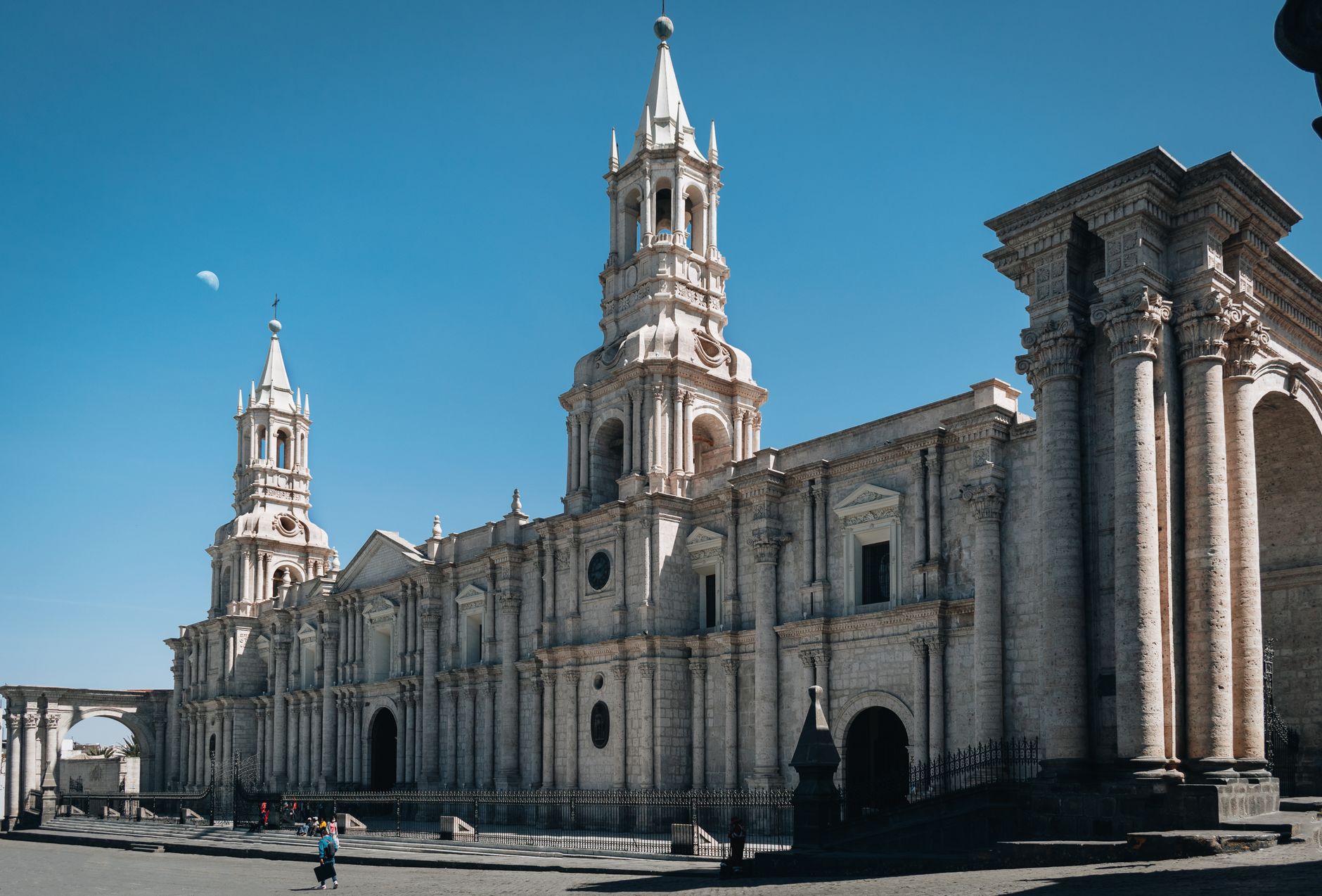
The most significant earthquake of recent decades struck on 23 June 2001, magnitude 8.4, centred off the coast of southern Peru, which killed dozens, triggered a tsunami in Camaná and caused severe damage in Arequipa, including its cathedral. The region has a long history of destructive earthquakes, such as those of 1868 and 1958, and it also lives alongside active volcanoes such as El Misti, which dominates the city's skyline.
Because of the combination of highly active subduction and volcanism, Arequipa is classified in the highest seismic-hazard zone on Peru's national hazard map. Its historic sillar-stone heritage and neighbourhoods built on hillsides make compliance with seismic codes and public earthquake preparedness especially relevant.
Advertisement