Bolivia is landlocked, but it is far from earthquake-free. The country sits above the Nazca plate as it subducts beneath South America and flattens out deep under the Andes, producing some of the deepest earthquakes ever recorded anywhere on Earth. Because these ruptures occur 300 to 600 km below the surface, their energy is spread over a huge area and rarely causes serious damage at ground level, even at large magnitudes.
Earthquakes in Bolivia: Live Map & Deep Andean Quakes
Advertisement
Latest quakes in this area
- Loading…
The clearest example is the 9 June 1994 Bolivia earthquake, a magnitude 8.2 deep-focus quake centred nearly 600 km underground near the Beni region. It was felt across a large part of South America and as far away as Canada, yet caused very little damage precisely because of its extreme depth. Shallower, more locally damaging earthquakes do occur too, mainly along Andean crustal faults near La Paz, Cochabamba and the Altiplano, though these are far less frequent than the deep subduction events.
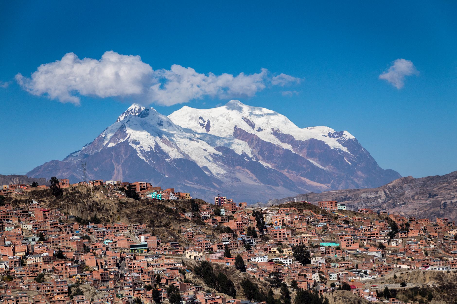
Bolivia's Observatorio San Calixto, one of the oldest seismological institutions in South America, has monitored the country's seismicity since 1913. La Paz, the world's highest administrative capital at over 3,600 metres, sits in a narrow canyon prone to landslides that can be triggered by even moderate shaking, which is a bigger practical hazard for the city than direct structural collapse from deep earthquakes. The live map below shows recent seismic activity recorded across Bolivia and the surrounding Andean region.
Advertisement