Colombia sits at the confluence of three major tectonic plates — the South American, Caribbean and Nazca plates — making it a geologically complex and seismically active region. Unlike Mexico or Peru, Colombia's seismicity is split between subduction zones on both coasts (the Pacific in the west and the Caribbean margin to the north) and interior crustal faulting beneath the Andes mountain range that runs north-south through the country.
Earthquakes in Colombia Today: Live Map 2026
Advertisement
Latest quakes in this area
- Loading…
The Pacific coast of Colombia, particularly the region around the Chocó and Nariño departments, experiences subduction-zone earthquakes from the Nazca plate descending beneath the South American plate, similar to the hazard that dominates Peru and Chile to the south. The Caribbean coast and the interior plate boundary generate shallower, often more damaging crustal earthquakes, as the Caribbean and South American plates grind past each other in a complex strike-slip and compressional interaction.
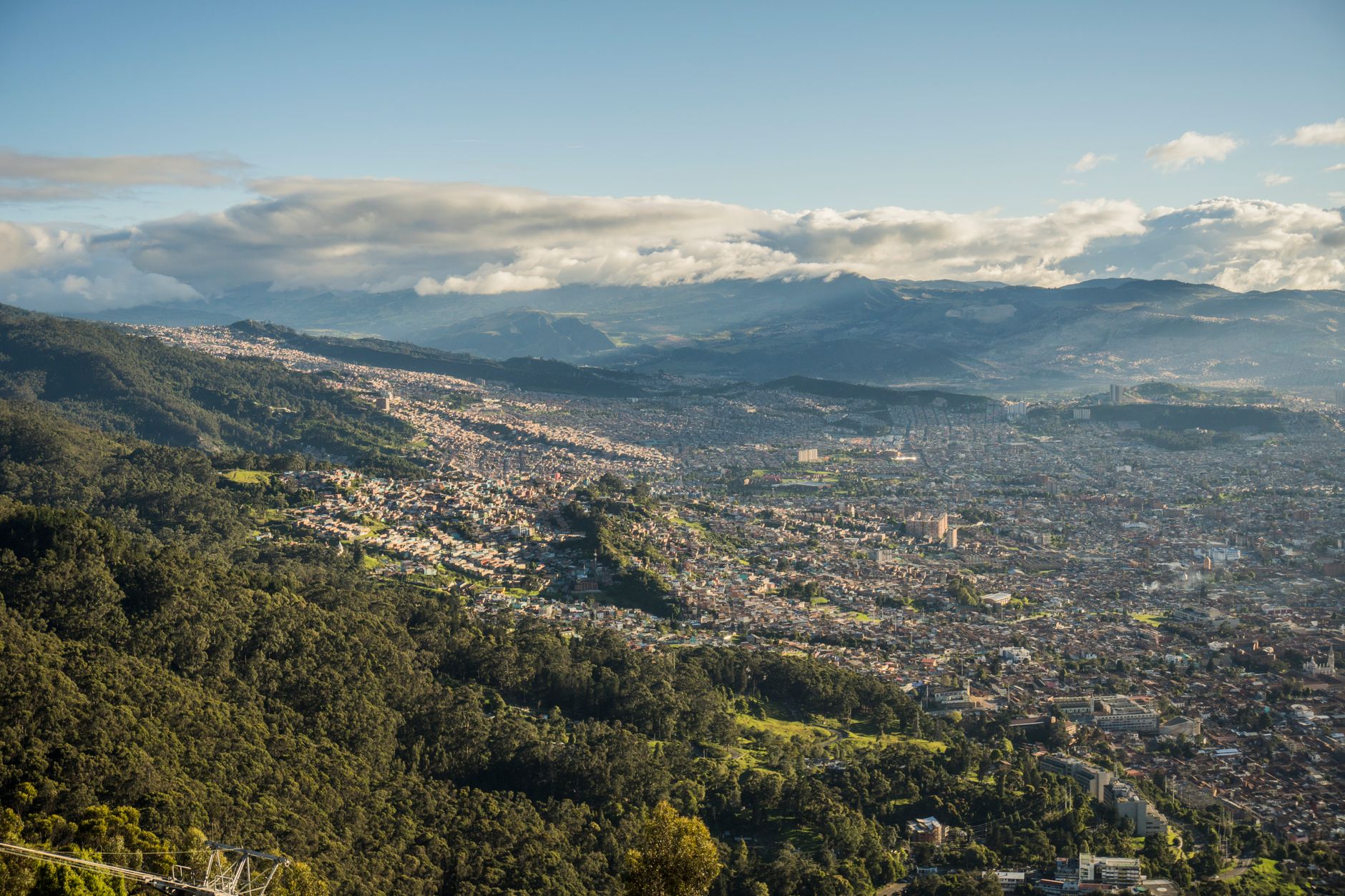
Colombia's capital Bogotá, located high in the Eastern Ranges of the Andes at about 2,640 metres above sea level, sits on solid bedrock far from plate boundaries, making it a comparatively low-seismic-hazard location despite the country's overall high seismicity. Coastal cities and cities along major fault systems experience higher seismic risk. The Colombian Geological Service (Servicio Geológico Colombiano) operates an extensive seismic network and has implemented building codes to mitigate earthquake damage. Recent significant earthquakes include the 1995 Tachira event (magnitude 6.2) and the 2016 Muisne earthquake (magnitude 7.8) off Ecuador's coast, which affected Colombia's Pacific region.
Advertisement