The Dominican Republic occupies the eastern two-thirds of Hispaniola, an island that sits directly astride the boundary between the Caribbean and North American tectonic plates. To the north, the Puerto Rico Trench and the Septentrional Fault accommodate the oblique collision between the plates, while faults running through the southern part of the island add further crustal complexity. This makes the country one of the more seismically hazardous in the Caribbean.
Earthquakes in the Dominican Republic: Live Map & the 1946 Tsunami
Advertisement
Latest quakes in this area
- Loading…
The clearest historical warning came on 4 August 1946, when a magnitude 8.1 earthquake struck off the Samaná Peninsula on the island's north-east coast. The quake and its aftershocks triggered a tsunami that killed around 100 people along the northern coastline, in one of the most damaging combined earthquake-tsunami events in Caribbean history. Smaller but still damaging earthquakes have struck the region since, and seismologists consider parts of the Septentrional Fault capable of producing another major rupture.
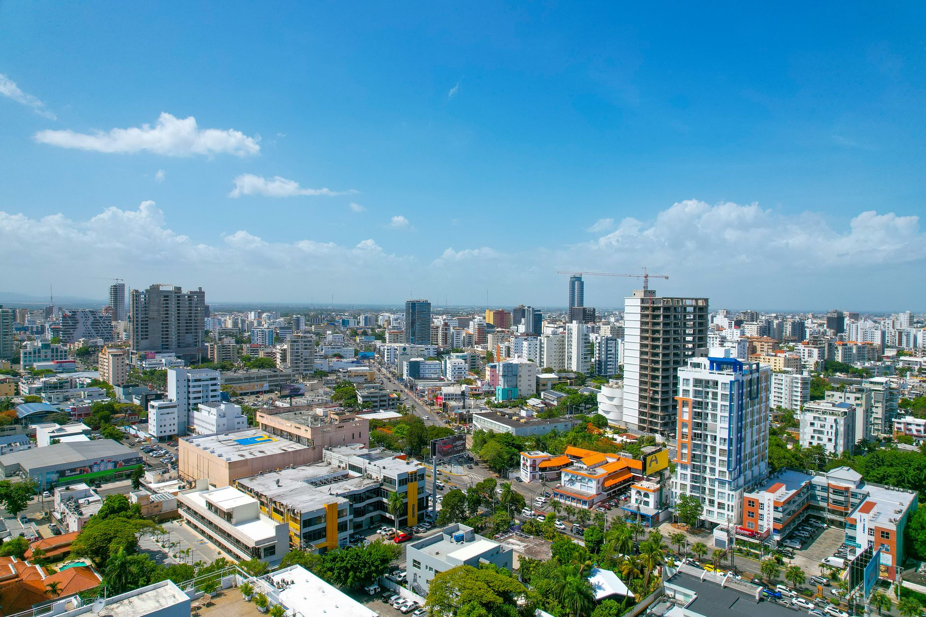
Santo Domingo, the capital and largest city, sits on the southern coast away from the most active northern fault systems, giving it comparatively lower — though not negligible — seismic exposure than the north coast. The Dominican Republic's Seismological Survey (Instituto Sismológico Universitario) monitors activity across the island, and regional bodies coordinate tsunami warning systems given the country's exposure to both earthquake shaking and tsunami hazard from nearby offshore faults.
Advertisement