Ecuador is one of South America's most seismically active and hazardous countries. The country straddles a complex triple junction where the South American, Nazca and Caribbean plates meet, combined with the fact that Ecuador sits almost entirely on the subducting Nazca plate, which slides beneath the South American plate at rates exceeding 6 centimetres per year. This intense plate convergence creates some of the world's most frequent and powerful subduction-zone earthquakes.
Earthquakes in Ecuador: Live Map & the 1906 Mega-Tsunami
Advertisement
Latest quakes in this area
- Loading…
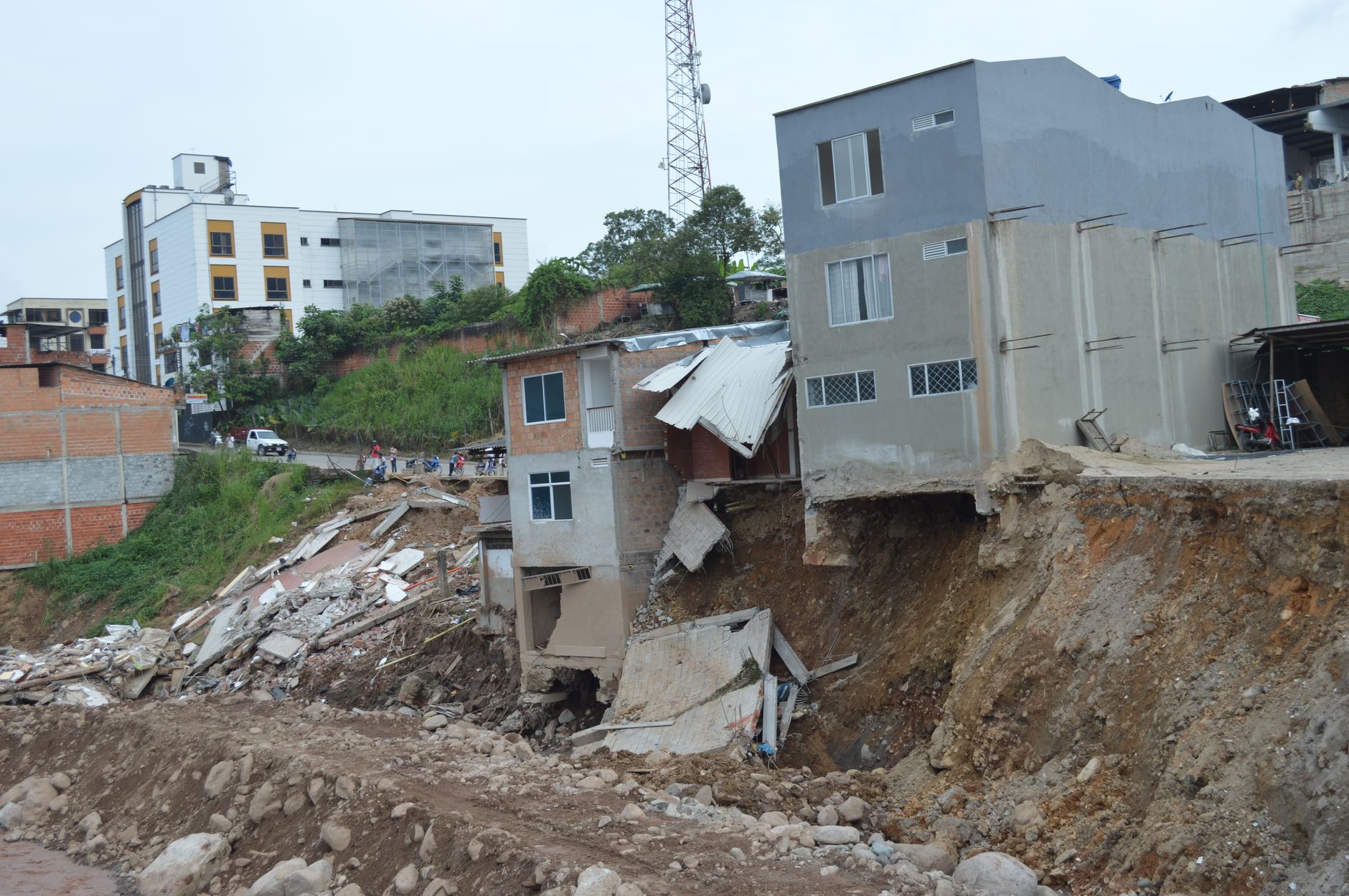
Ecuador's Pacific coast and offshore trench are particularly hazardous zones for megaquakes. The 1906 Ecuador-Colombia earthquake (magnitude 8.8), one of the largest recorded earthquakes of the 20th century, ruptured a 500-kilometre fault segment off Ecuador's coast and generated a massive tsunami. The 2016 Muisne earthquake (magnitude 7.8) struck Ecuador's coast and caused significant damage. Ecuador's capital, Quito, sits high in the Andes at about 2,850 metres elevation, where it experiences frequent smaller-magnitude local earthquakes from crustal faulting in addition to strong shaking transmitted from coastal subduction-zone ruptures.
Ecuador has invested substantially in seismic monitoring and early-warning systems managed by the National Institute of Premonitory Seismology (Instituto Nacional de Premoniciones Sísmicas, formerly Instituto Geofísico). The country's construction codes are among the strictest in the region and account for high seismic hazard. Ecuador experiences dozens of measurable earthquakes every day, most small and centred either on the Pacific coast or deep within the subducting slab. For residents and visitors, earthquake awareness and preparedness are essential safety considerations throughout the country.
See also
Advertisement