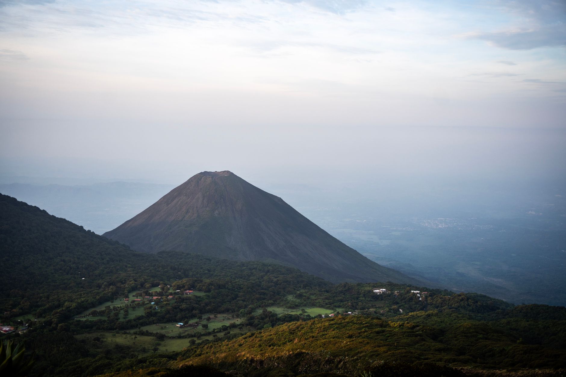
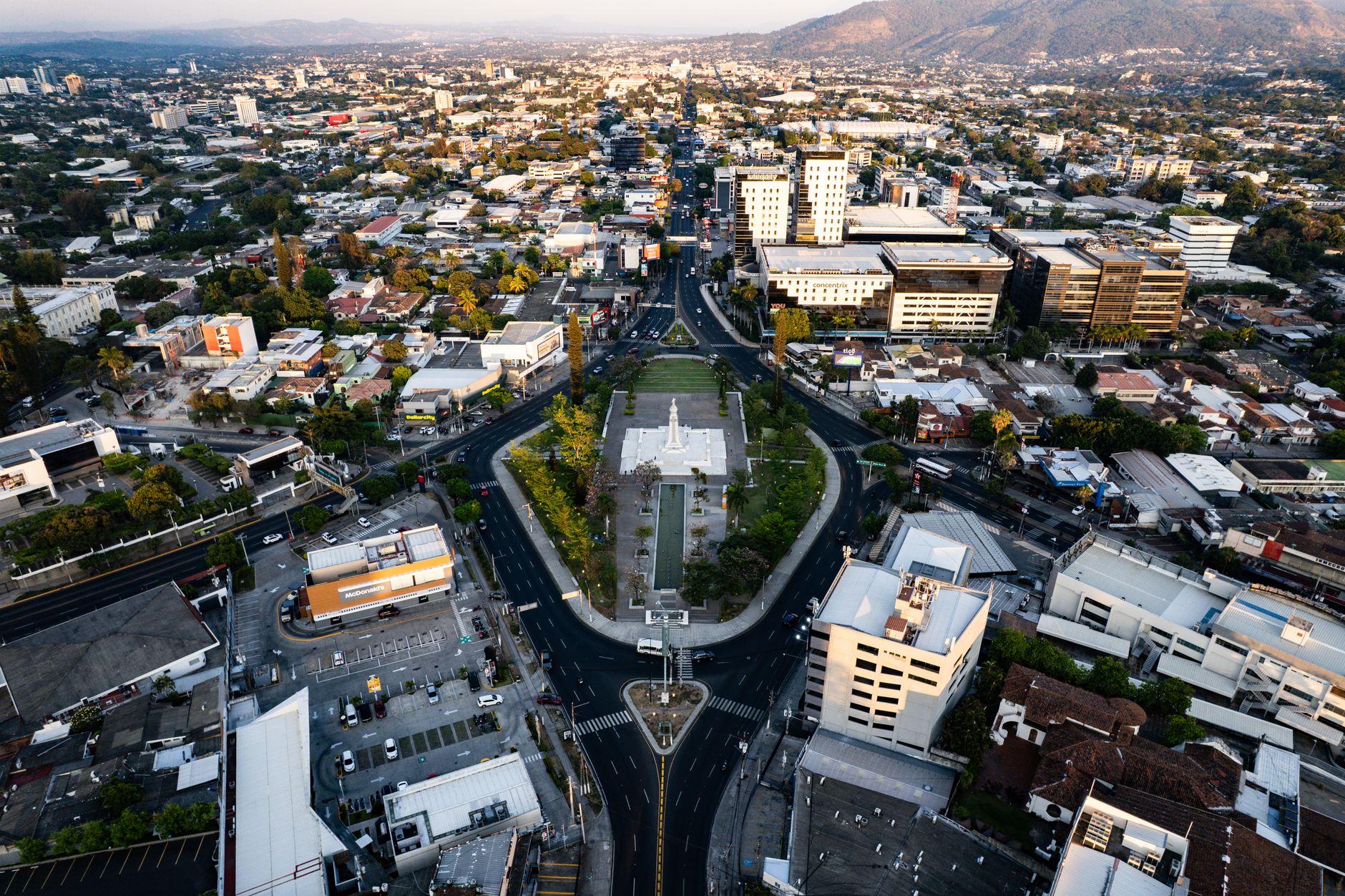
El Salvador is Central America's smallest and most densely populated country, and one of its most earthquake-prone. It sits above the Middle America Trench, where the Cocos plate subducts beneath the Caribbean plate along the Pacific coast, and is also crossed inland by the El Salvador Fault Zone, a shallow crustal fault system running roughly parallel to the country's volcanic chain through the San Salvador metropolitan area.
Earthquakes in El Salvador: Live Map & the 2001 Twin Quakes
Advertisement
Latest quakes in this area
- Loading…
The country's earthquake risk was laid bare within a single month in 2001. On 13 January, a magnitude 7.7 offshore subduction earthquake struck, followed on 13 February by a magnitude 6.6 shallow crustal quake on a fault closer to the capital. Together they killed more than 1,100 people. The February quake triggered the Las Colinas landslide, which buried a residential neighbourhood in Santa Tecla on the outskirts of San Salvador, one of the deadliest earthquake-triggered landslides in Central American history.
El Salvador's Ministry of Environment and Natural Resources (MARN) operates the national seismic monitoring network. Dense population, steep volcanic terrain prone to landslides, and large stretches of informal housing on unstable slopes combine to make even moderate earthquakes disproportionately dangerous here compared with less crowded parts of the region, which is why post-2001 building and land-use codes have focused heavily on slope stability as well as structural strength.
See also
2001 El Salvador EarthquakeM7.7, the Las Colinas landslideEarthquakes in San SalvadorEarthquakes in GuatemalaEarthquakes in Nicaragua
Advertisement