Guadalajara, Mexico's second-largest metropolitan area and the capital of Jalisco, sits in a zone of moderate earthquake hazard — higher than Monterrey but well below the Pacific coast and Mexico City. The city lies roughly 200 km inland from the Jalisco coast, where the Rivera and Cocos plates subduct beneath North America and generate the region's largest earthquakes, including the devastating magnitude 8.0 Jalisco earthquake of 1932.
Guadalajara Quakes Today: Live Map 2026
Advertisement
Latest quakes in this area
- Loading…
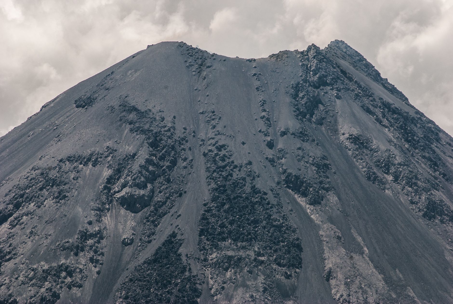
Guadalajara itself sits within the Chapala–Tepic rift, a zone of crustal extension linked to several nearby fault systems and the volcanic activity of the Trans-Mexican Volcanic Belt, which includes the Tequila volcano just west of the city. This tectonic setting means Jalisco does experience occasional moderate local earthquakes in addition to shaking transmitted from larger coastal ruptures.
Because parts of the metropolitan area sit on volcanic rock mixed with softer lakebed-influenced sediment, ground shaking from distant coastal earthquakes can be locally amplified — similar in principle, though far less severe, to the effect that devastated Mexico City in 1985. Modern building codes in Jalisco account for this moderate hazard, and the state is covered by Mexico's SASMEX early-warning network, giving residents extra seconds of notice before shaking from a coastal quake arrives.
Advertisement