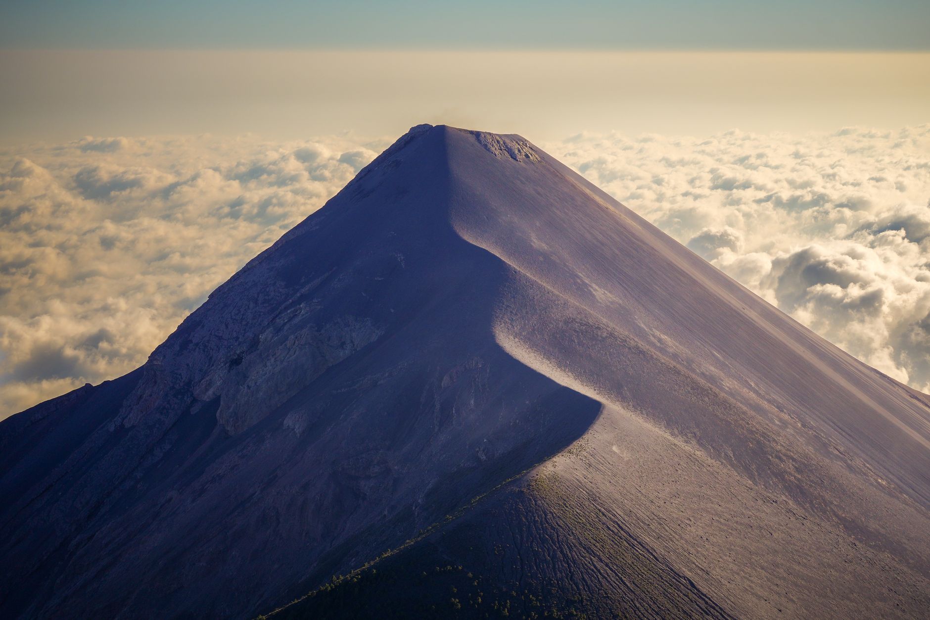
Guatemala sits at one of the most complex tectonic settings in the Americas: the meeting point of the Cocos, Caribbean and North American plates. Along the Pacific coast, the Cocos plate subducts beneath the Caribbean plate at the Middle America Trench, fuelling the volcanic arc that includes Fuego and Pacaya and generating deep, powerful subduction earthquakes offshore.
Earthquakes in Guatemala: Live Map & Seismic Risk
Advertisement
Latest quakes in this area
- Loading…
Guatemala's deadliest modern disaster came from a different source: the Motagua Fault, a transform boundary between the Caribbean and North American plates that slices across the country much like California's San Andreas Fault. On 4 February 1976, it ruptured in a magnitude 7.5 earthquake that killed an estimated 23,000 people and injured 76,000, mostly when adobe and masonry homes in rural highland villages collapsed. The shallow, inland rupture made it far deadlier than many larger offshore subduction quakes.
Guatemala's National Institute of Seismology, Volcanology, Meteorology and Hydrology (INSIVUMEH) monitors both fault systems today. Because the country sits above active subduction and a major transform fault simultaneously, and hosts several of Central America's most active volcanoes, earthquake and volcanic hazard are part of daily life — building codes and emergency preparedness have improved substantially since 1976, but rural highland communities remain the most vulnerable to shallow crustal quakes.
Advertisement