Honduras experiences lower seismic hazard than most of its Central American neighbours, but it is not risk-free. Most of the country's mainland sits away from the Pacific subduction zone that drives strong earthquakes in Guatemala, El Salvador and Nicaragua. Instead, Honduras' main seismic source lies offshore, to the north, where the Swan Islands Fault — part of the transform boundary between the Caribbean and North American plates — runs roughly parallel to the country's Caribbean coast.
Earthquakes in Honduras: Live Map & the Swan Islands Fault
Advertisement
Latest quakes in this area
- Loading…
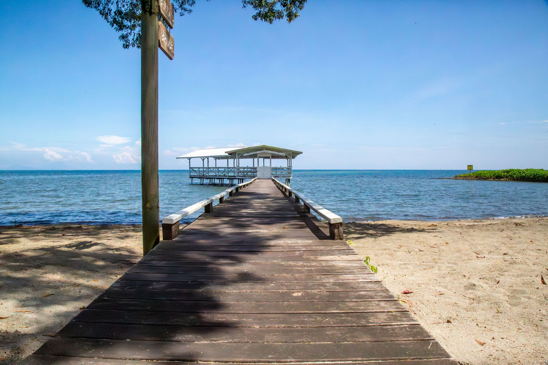
The clearest example of this hazard struck on 28 May 2009, when a magnitude 7.3 earthquake ruptured the Swan Islands Fault near the Bay Islands, including the popular tourist destination of Roatán. The quake killed seven people and triggered a small tsunami, a reminder that even a country with generally moderate seismicity can experience a major event when a long-dormant transform fault finally slips.
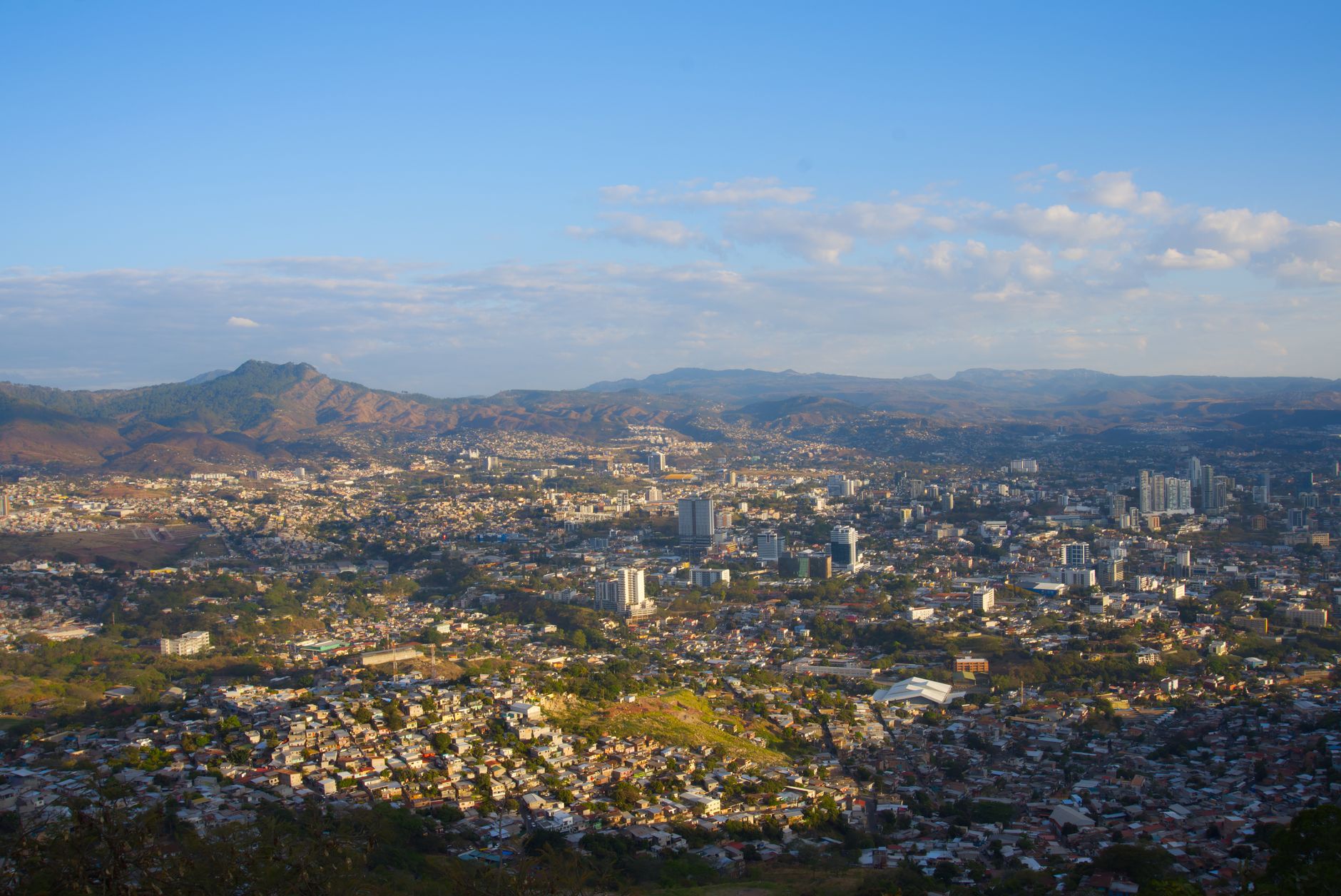
Honduras' mainland interior, including the capital Tegucigalpa, sits on relatively stable crust away from major plate boundaries and experiences infrequent, generally weaker earthquakes than its coastal and island territories. The Honduran Permanent Contingency Commission (COPECO) and international seismic networks monitor activity across the region. Because Honduras faces higher risk from hurricanes and flooding day to day, earthquake preparedness sometimes receives less public attention than in neighbouring countries, even though the northern coast carries a real and documented seismic hazard.
Advertisement