Mexico sits at the collision of five major tectonic plates — the North American, Pacific, Cocos, Rivera and Caribbean plates — making it one of the world's most seismically complex and active countries. The subduction of the Cocos plate beneath North America along Mexico's Pacific coast generates the nation's largest and most frequent earthquakes, particularly in the states of Guerrero, Oaxaca and Chiapas.
Earthquakes in Mexico Today: Live Map 2026
Advertisement
Latest quakes in this area
- Loading…
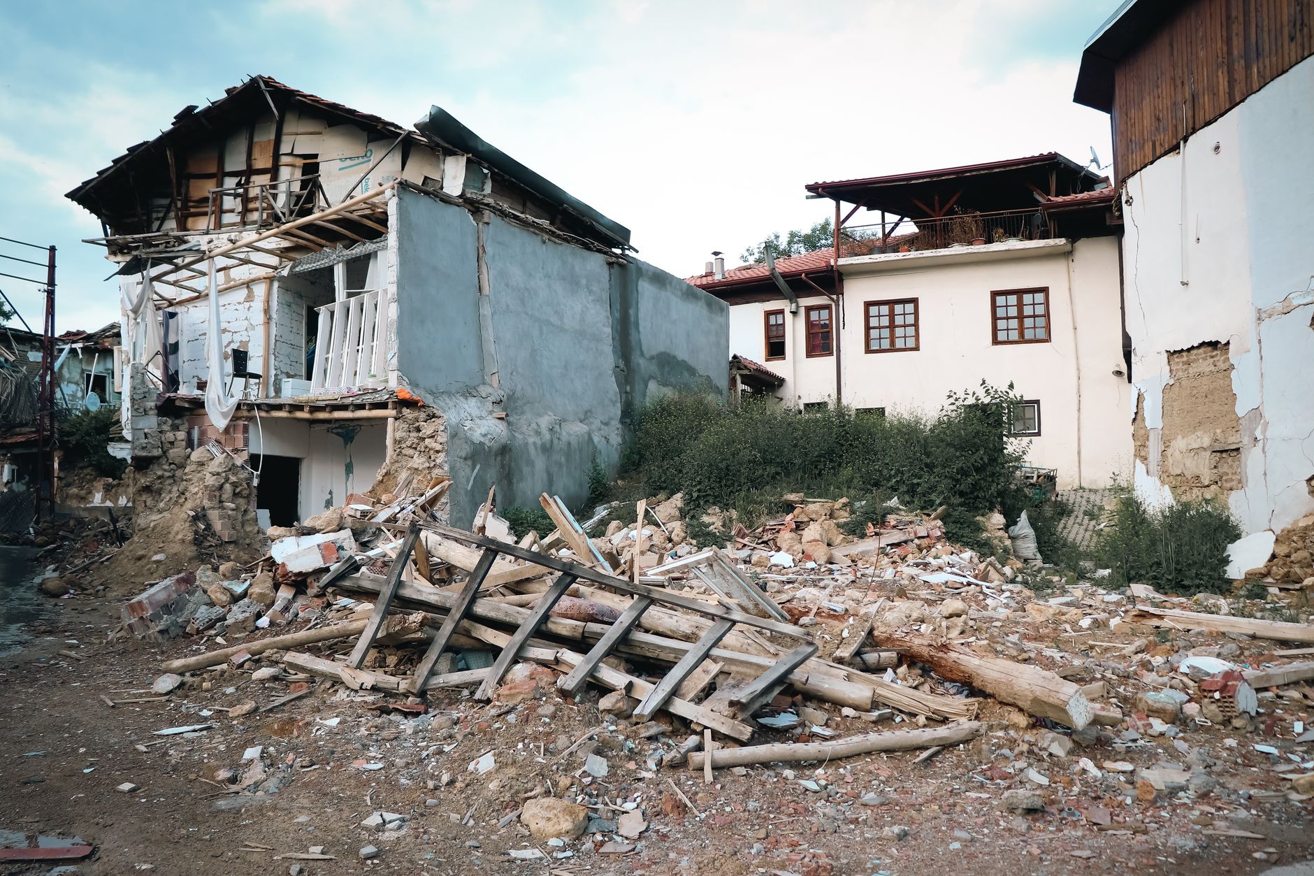
Mexico City remains the nation's greatest earthquake vulnerability. Built on soft lakebed sediments from a drained Aztec lake, the city amplifies seismic waves to devastating effect. The 1985 Mexico City earthquake (magnitude 8.0, epicentre in Guerrero) killed an estimated 10,000 people when intense ground shaking caused widespread building collapse across the capital. Because of this disaster, Mexico developed SASMEX — the Sistema de Alerta Sísmica Mexicana — an automated earthquake early-warning network that now gives residents precious seconds to seconds of notice before shaking arrives. Every 19 September, Mexico conducts a nationwide earthquake drill at 11:00 a.m. commemorating the 1985 quake.
Modern Mexico monitors seismic activity through the National Seismological Service (Servicio Sismológico Nacional, SSN) and has implemented building codes throughout the country accounting for regional seismic hazard. Yet earthquakes remain frequent and unpredictable. The 2017 Puebla earthquake (M7.1) struck on 19 September, killing nearly 600. The 2018 Papanoa earthquake (M6.9) and dozens of smaller aftershocks remind Mexicans that earthquake risk is permanent and requires constant vigilance, preparation and investment in resilient infrastructure.
Advertisement