
The hypocenter: where the rupture actually starts
An earthquake begins when stress built up along a fault finally overcomes the friction holding the rock together, and the rock suddenly slips.
The exact point underground where that first slip happens is the hypocenter, also called the focus. It is a genuine three-dimensional location: a latitude, a longitude, and a depth below the surface, usually measured in kilometres.
Depth changes everything about how an earthquake is experienced. Shallow quakes hit much harder than deep ones of the same magnitude.
The epicenter: the hypocenter's shadow on the map
The epicenter is the point on the Earth's surface directly above the hypocenter: nothing more.
It is a projection, not an independent measurement. Once seismologists know where the hypocenter is, finding the epicenter is just a matter of drawing a straight line upward and marking where it crosses the surface.
That is why the epicenter is the number almost every map, app and news alert shows: a pair of surface coordinates is far easier to plot than a three-dimensional point underground.
How seismologists actually locate both points
Finding the hypocenter relies on the fact that earthquakes send out two main kinds of waves that travel at different speeds: fast P-waves and slower S-waves.
At any single seismograph station, the gap between the P-wave and S-wave arrival times tells scientists roughly how far away the earthquake occurred: the bigger the gap, the farther the source.
One station only narrows the location to a circle around itself. With readings from at least three stations, the circles overlap at a single point, triangulating the hypocenter's position and depth.
The epicenter is then simply read off as the horizontal coordinates of that same point. Modern agencies like the USGS automate this with dense global seismograph networks, usually locating a significant earthquake within minutes.
Why the epicenter isn't always where the damage is worst
For a small, compact earthquake, the area right above the hypocenter usually does shake the hardest, because the whole rupture is essentially one point.
But large earthquakes don't rupture a single point: the fault keeps tearing outward from the hypocenter, sometimes for hundreds of kilometres, for tens of seconds after the quake begins.
The epicenter only marks where that process started, not where it was strongest or where it ended.
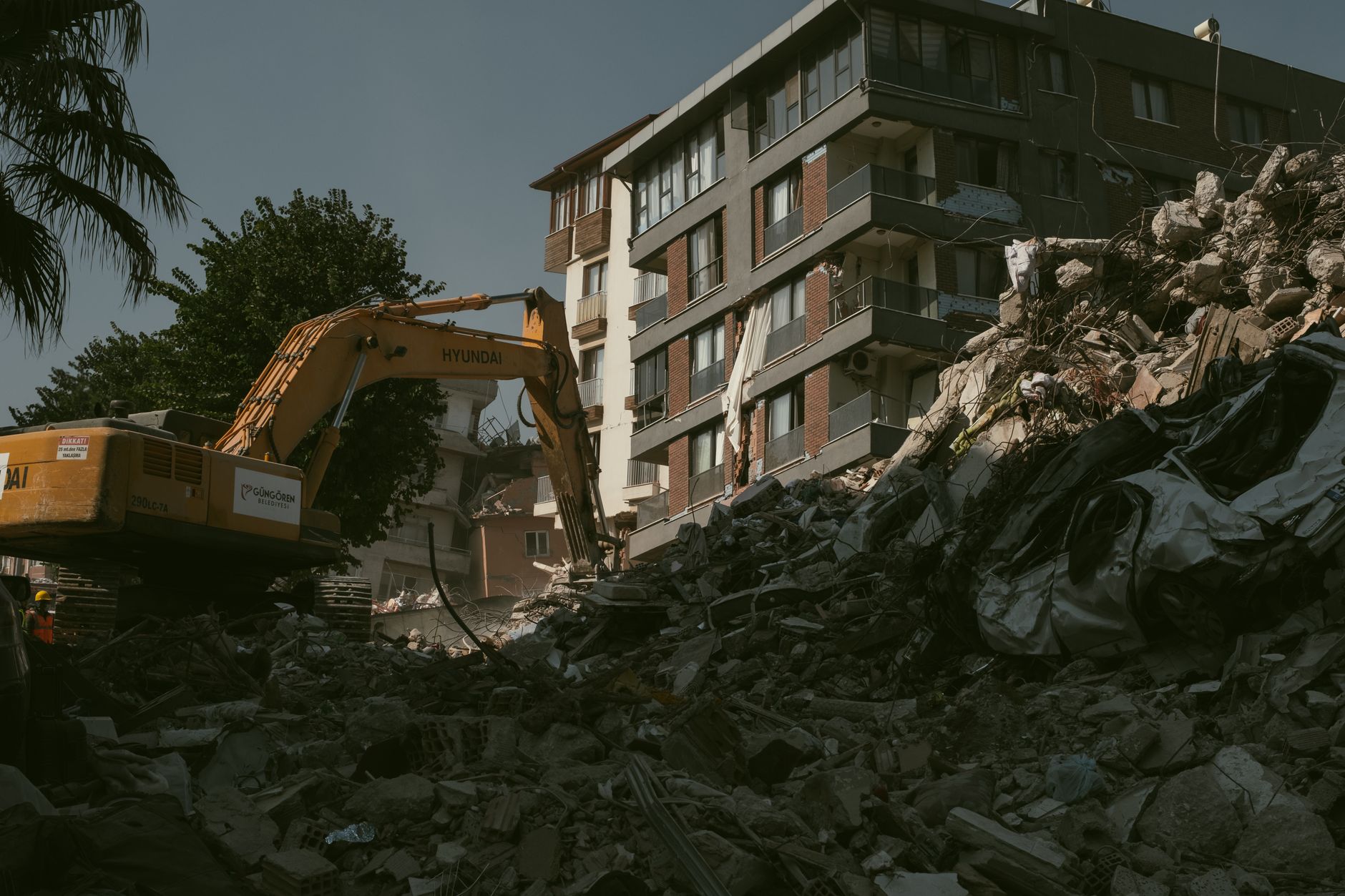
The February 2023 Turkey–Syria earthquake (M7.8) is a clear case: its epicenter was located near Pazarcık in Kahramanmaraş province, at a depth of about 18 km. But the rupture then propagated along the East Anatolian Fault for over 300 km, and cities far from the epicenter—including Hatay, well over 100 km away—suffered damage just as severe as areas near the starting point.
The 2011 Tōhoku earthquake in Japan (M9.0–9.1) shows the same effect at an even larger scale: its epicenter sat roughly 130 km off the coast of Honshu, yet the fault ruptured across an area some 500 km long and 200 km wide offshore, generating a tsunami that devastated hundreds of kilometres of coastline far beyond the single point marked as the epicenter.
What to actually look at when a quake hits
When you check an earthquake on a live map, treat the epicenter as a starting reference, not the full picture.
Depth tells you how concentrated the energy was near the surface. Magnitude tells you how much energy was released in total.
For the largest earthquakes, the length of the fault rupture—which can be looked up in detailed reports from agencies like the USGS—tells you how far the shaking could extend well beyond the epicenter itself.