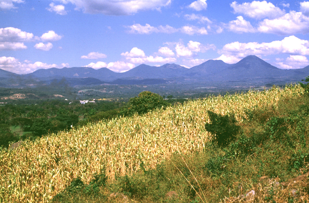
The Apaneca Range (also known as the Cuyanausul Range) consists of a group of basaltic-to-andesitic Pleistocene and Holocene stratovolcanoes in western El Salvador between the Santa Ana complex and the Guatemala border. The Pleistocene dacitic-rhyolitic Concepción de Ataco caldera (5 x 3.5 km) lies at the W end of the complex, along with post-caldera late-Pleistocene to Holocene andesitic-dacitic lava domes. The post-caldera cones of Cerro el Aguila (the highest peak of the complex) and Cerro los Naranjos at the E end of the chain were mapped as Holocene by Weber and Weisemann (1978). Young craters on the basaltic Cerro Laguna Verde stratovolcano may also have been active during the Holocene. Numerous fumarole fields are located on the N flank of the range, and the Ahuachapán geothermal field has been producing since 1975. Several small hydrothermal explosions have occurred in historical time, including one in October 1990 at the Agua Shuca thermal area in which 26 people were killed.
Apaneca Range Volcano — El Salvador
Advertisement
Recent earthquakes nearby
- …
Biggest historic earthquakes in the area
- …
Advertisement