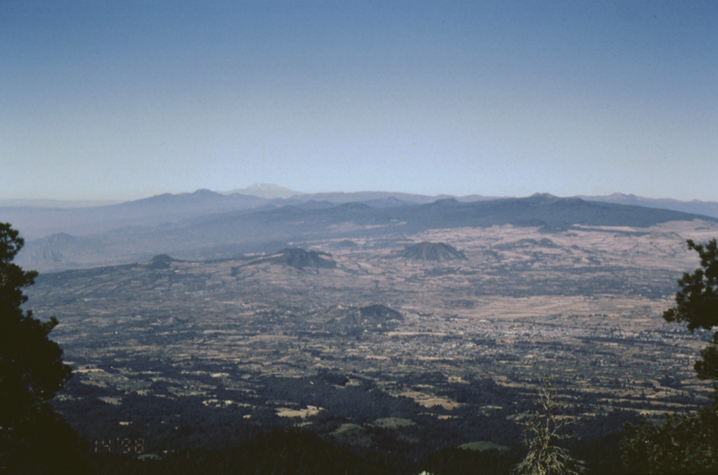
The massive Chichinautzin volcanic field extends over an 88 km E-W area immediately south of Mexico City. The Sierra Chichinautzin, formed primarily of overlapping small cinder cones and shield volcanoes, creates a broad topographic barrier at the southern end of the Basin of Mexico that extends from the E flank of Nevado de Toluca to the W flank of Iztaccíhuatl. The volcanic field contains more than 220 Pleistocene-to-Holocene monogenetic vents. The best-known eruption occurred about 1,670 radiocarbon years ago (400 CE) from the Xitle scoria cone, NE of the Volcán Ajusco lava dome complex, which forms the highest peak of the Sierra Chichinautzin. The Xitle eruption produced a massive basaltic tube-fed lava flow that covered agricultural lands as well as pyramids and other structures of Cuicuilco and adjacent prehispanic urban centers. The southern part of Mexico City and the National University of México lie atop the distal end of the 13-km-long lava flow.
Chichinautzin Volcano — Mexico
Advertisement
Recent earthquakes nearby
- …
Biggest historic earthquakes in the area
- …
Advertisement