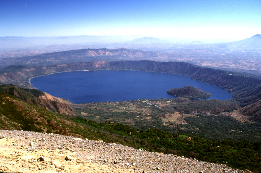
Coatepeque is a 6.5 x 11.5 km collapse caldera ~50 km W of San Salvador that is largely occupied by a lake with hot springs near the margins. The height of the caldera rim increases on its W side, where it intersects the E flank of Santa Ana. The caldera was formed during a series of major rhyolitic explosive eruptions between ~72,000 and 51,000 years ago. Post-caldera eruptions included the formation of basaltic cinder cones and lava flows near the western margin of the caldera and the extrusion of rhyodacitic lava domes along a NE-SW line near the caldera lake margins. The highest dome forms Isla de Cabra, or Cerro Grande. The age of the domes is not known precisely, but the youngest dome, Cerro Pacho, was estimated to have formed less than 10,000 years ago. No verified eruptions have been recorded.
Coatepeque Caldera Volcano — El Salvador
Advertisement
Recent earthquakes nearby
- …
Biggest historic earthquakes in the area
- …
Advertisement