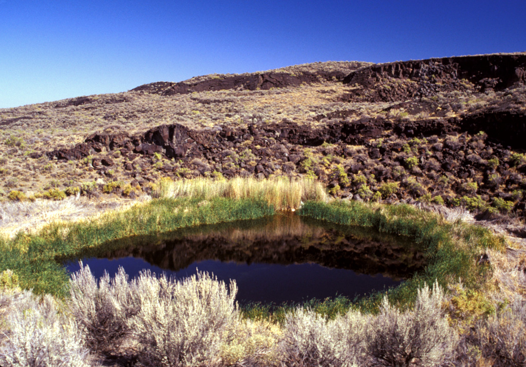
Diamond Craters volcanic field consists of a 70 km2 area of basaltic lava flows along with numerous cinder cones and maars located between the SE Oregon town of Burns and Steens Mountain. A basaltic pahoehoe lava field is overlain by deposits from phreatomagmatic and Strombolian eruptions that formed a late-stage central vent complex of about 20 craters and cones that densely fill a 1.1 x 1.6 km caldera. The age is constrained to within 7,320-7,790 calibrated years Before Present by radiocarbon-dated floodplain deposits below the lava flows and paloemagnetic evidence (Sherrod et al., 2012). Doming has created a series of six overlapping topographic highs. The highest of these is known as Graben Dome; its summit is cut by a NW-SE graben 0.4 x 2.1 km long and 30 m deep. Lava flows on the E side of the field, scattered cinder cones, and maars formed during the last stage of activity.
Diamond Craters Volcano — United States
Advertisement
Recent earthquakes nearby
- …
Biggest historic earthquakes in the area
- …
Advertisement