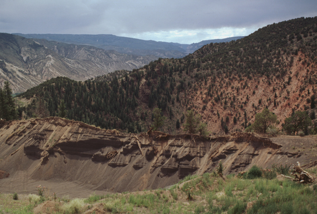
A small maar and scoria cone complex at Dotsero is located near the junction of the Colorado and Eagle Rivers west of the Gore Range. Highway I-70 cuts across a lava flow, but the most prominent feature of the complex is a 700 m wide and 400 m deep maar that was erupted about 4,150 radiocarbon years ago along a ridge consisting of evaporites and reddish oxidized sandstones of Pennsylvanian age. Small scoria cones were constructed along a NNE-SSW line on either side of the maar. Small lahars preceded eruption of a basaltic lava flow that traveled 3 km down two narrow V-shaped valleys and spread out onto the floodplain of the Eagle River, diverting the river to the south side of the valley. Older Pleistocene basaltic lava flows occur nearby at Willow Peak, McCoy, and Triangle Peak.
Dotsero Volcano — United States
Advertisement
Recent earthquakes nearby
- …
Biggest historic earthquakes in the area
- …
Advertisement