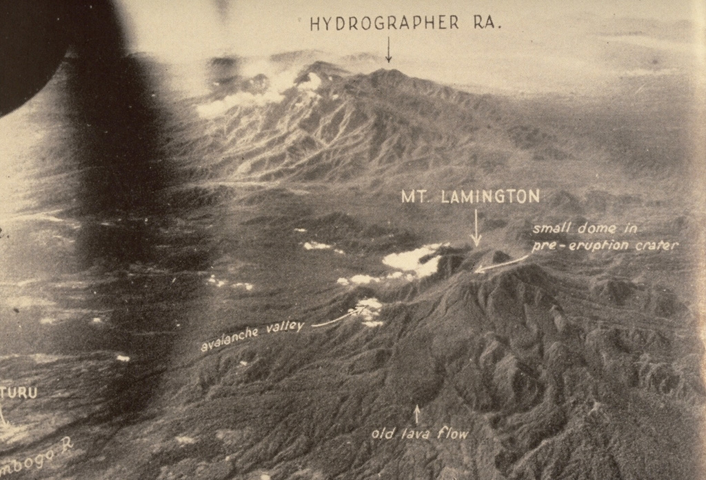
The Hydrographers Range is a forested, deeply dissected andesitic volcanic massif extending from the eastern margin of Mount Lamington north to the coast of eastern Papua New Guinea. Most activity took place during the Pleistocene, but perfectly preserved cinder cones and explosion craters on the southern side of the range suggested that some activity took place during the Holocene (Taylor, 1958). Other well-preserved cones are situated in the high country overlooking Songade village on the coast.
Hydrographers Range Volcano — Papua New Guinea
StratovolcanoType
HoloceneLast eruption
1915 mElevation
Papua New GuineaCountry
Advertisement
Recent earthquakes nearby
- …
Biggest historic earthquakes in the area
- …
Advertisement