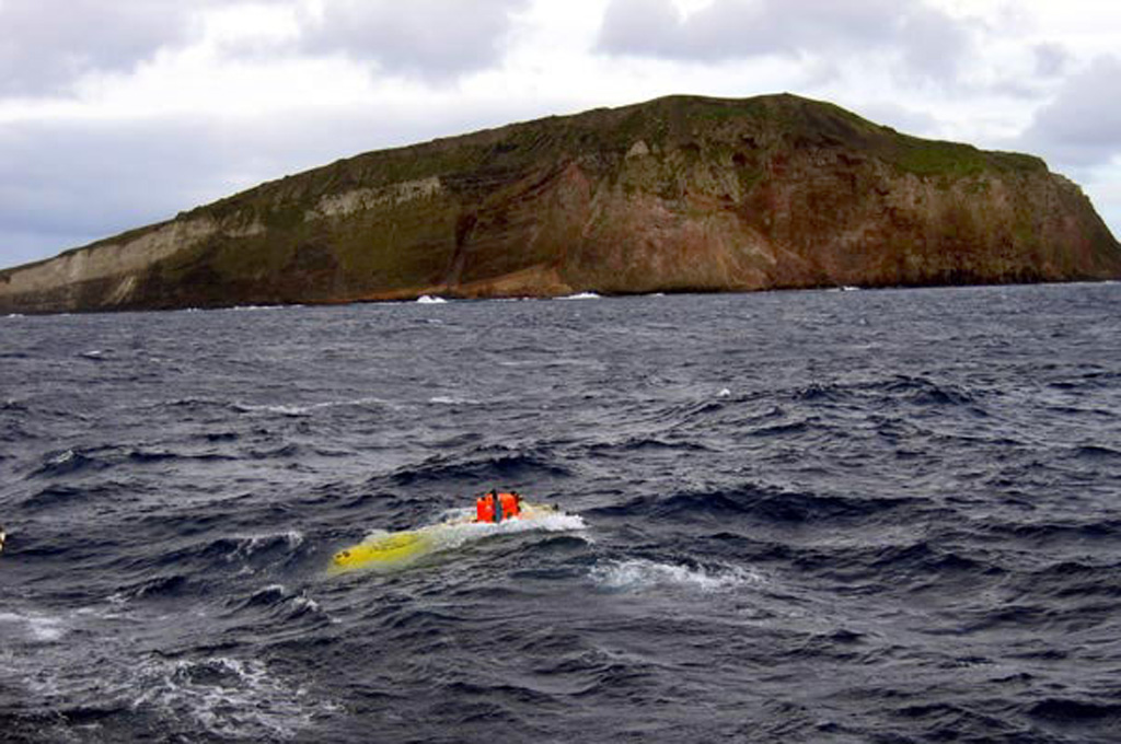
Macauley Island is a rim remnant of a large submarine caldera centered 8 km to the NW. The 2-km-diameter island consists of a low, gently sloping surface of rhyolitic pumice from the caldera-forming eruption truncated by steep cliffs formed of underlying basaltic lava flows. The pre-caldera edifice consisted of two generations of shield volcanoes separated by a period of pyroclastic cone growth. Eruption of the voluminous Sandy Bay Tuff about 6,300 years ago truncated the NW side of the Annexation shield volcano and formed a 12-km-wide, 1.1-km deep caldera. Following formation of the caldera and substantial marine erosion, a partly submarine and partly subaerial eruption centered about 2 km N of present-day Macauley Island produced basaltic scoriae and lava flows. A reported possible eruption in 1825 from "Brimstone Island," 45 km W of Macauley at a location with a depth of about 2,000 m and SW of Giggenbach submarine volcano, is likely a location error and could refer to an eruption from the submarine flank of Macauley caldera (Lloyd et al., 1996).
Macauley Volcano — New Zealand
Advertisement
Recent earthquakes nearby
- …
Biggest historic earthquakes in the area
- …
Advertisement