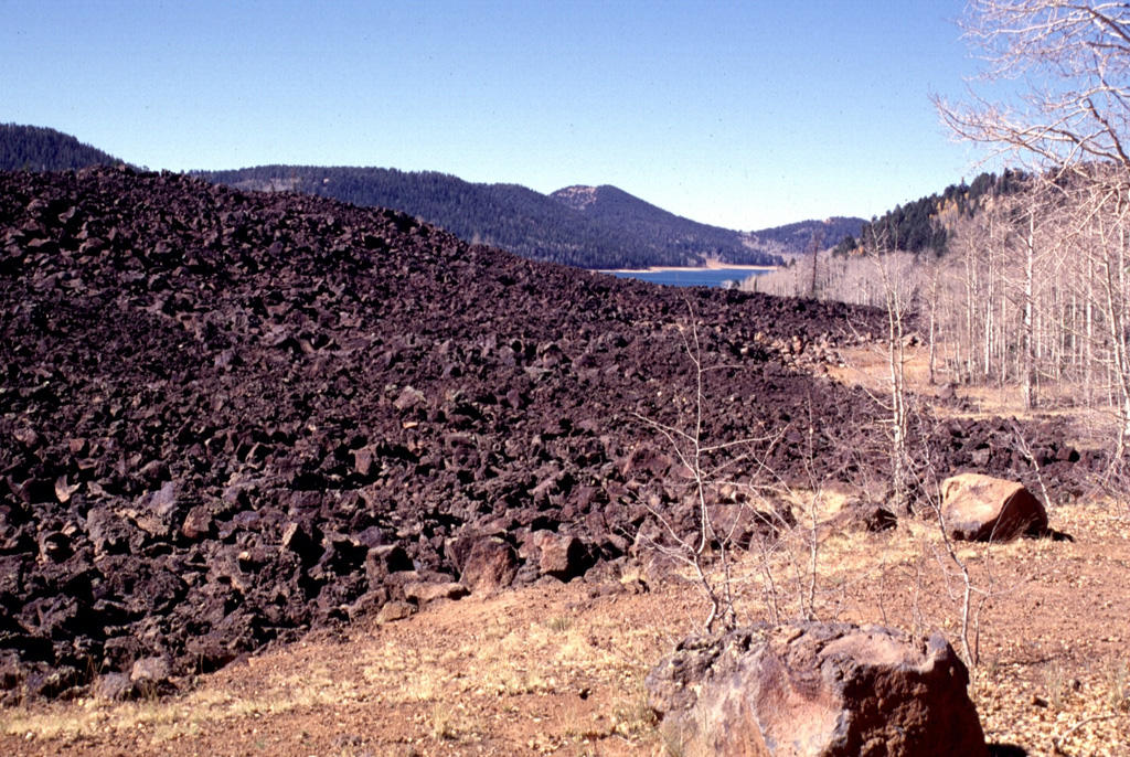
The Markagunt Plateau volcanic field, covering 3,000 km2 east of Cedar Breaks National Monument in SW Utah, includes basaltic cinder cones, lava vents, and sparsely vegetated lava flows. Products of an older episode of volcanism producing trachytic, andesitic and rhyolitic lavas that were succeeded by basaltic lavas of two different ages. Several lines of NE-SW-trending cinder cones occur within the volcanic field, with the youngest flows being located near Panguitch Lake on the north and Navajo Lake on the south. Navajo Lake formed when a thick blocky flow dammed Duck Creek. Young lava flows, many of which are fissure fed, have distinct margins and covered or diverted stream drainages, which have for the most part not been reestablished across the flows. Although the precise age of the lava flows is not known, the oldest trees on the youngest flows at Panguitch Lake date to about 1050 CE (Gregory, 1949), consistent with legends of the Southern Paiute (who arrived in the area about 1000 CE) noting ejection of fiery rocks and molten lava flows (Palmer, 1957).
Markagunt Plateau Volcano — United States
Advertisement
Recent earthquakes nearby
- …
Biggest historic earthquakes in the area
- …
Advertisement