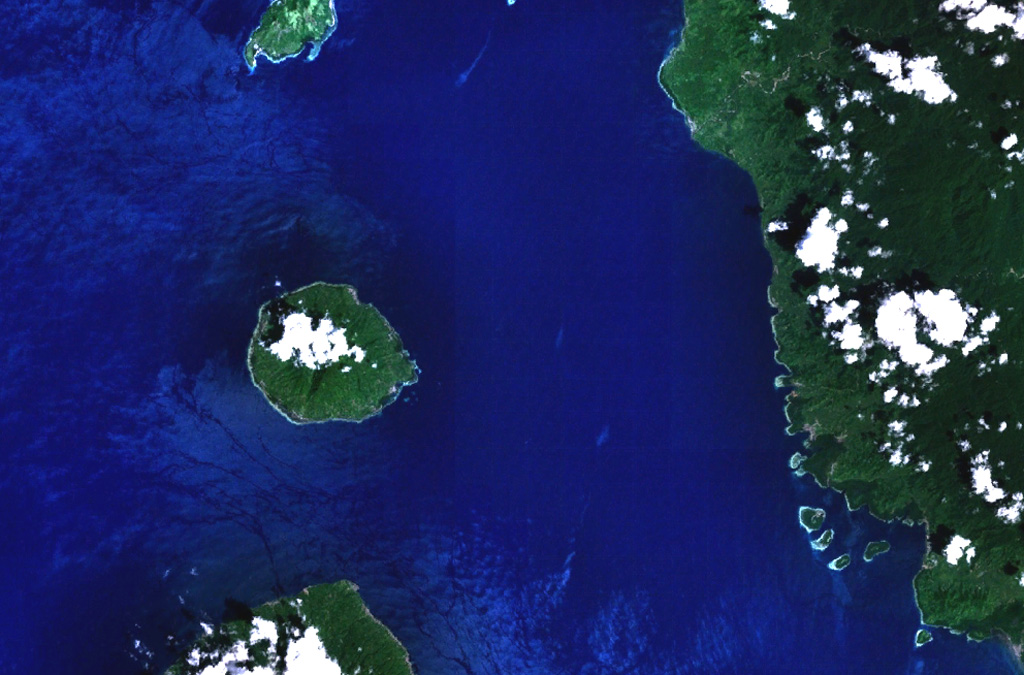
The 5-km-wide island of Moti, also known as Motir, is part of a chain of volcanic islands off the western coast of Halmahera. It is located north of Makian and south of Mare and Tidore islands, and is surrounded by coral reefs. The truncated, conical island contains a crater on its SSW side. Moti was mapped as Holocene by Apandi and Sudana (1980). A minor eruption was reported in 1774 or shortly before, but Gogarten (1918) indicated that this event was confused with the October 1773 eruption of nearby Gamalama, which could have dropped ash on Moti.
Moti Volcano — Indonesia
Advertisement
Recent earthquakes nearby
- …
Biggest historic earthquakes in the area
- …
Advertisement