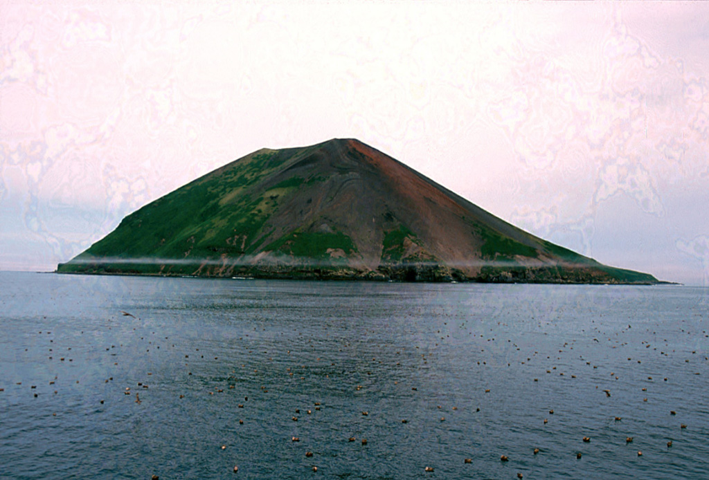
A low truncated volcano forms the small barren Raikoke Island, which lies 16 km across the Golovnin Strait from Matua Island in the central Kuriles. The oval-shaped basaltic island is only 2 x 2.5 km wide and rises above a submarine terrace. An eruption in 1778, during which the upper third of the island was said to have been destroyed, prompted the first volcanological investigation in the Kuril Islands two years later. Incorrect reports of eruptions in 1777 and 1780 were due to misprints and errors in descriptions of the 1778 event (Gorshkov, 1970). Another powerful eruption in 1924 greatly deepened the crater and changed the outline of the island. Prior to a 2019 eruption, the steep-walled crater, highest on the SE side, was 700 m wide and 200 m deep. Lava flows mantle the eastern side of the island.
Raikoke Volcano — Russia
Advertisement
Recent earthquakes nearby
- …
Biggest historic earthquakes in the area
- …
Advertisement