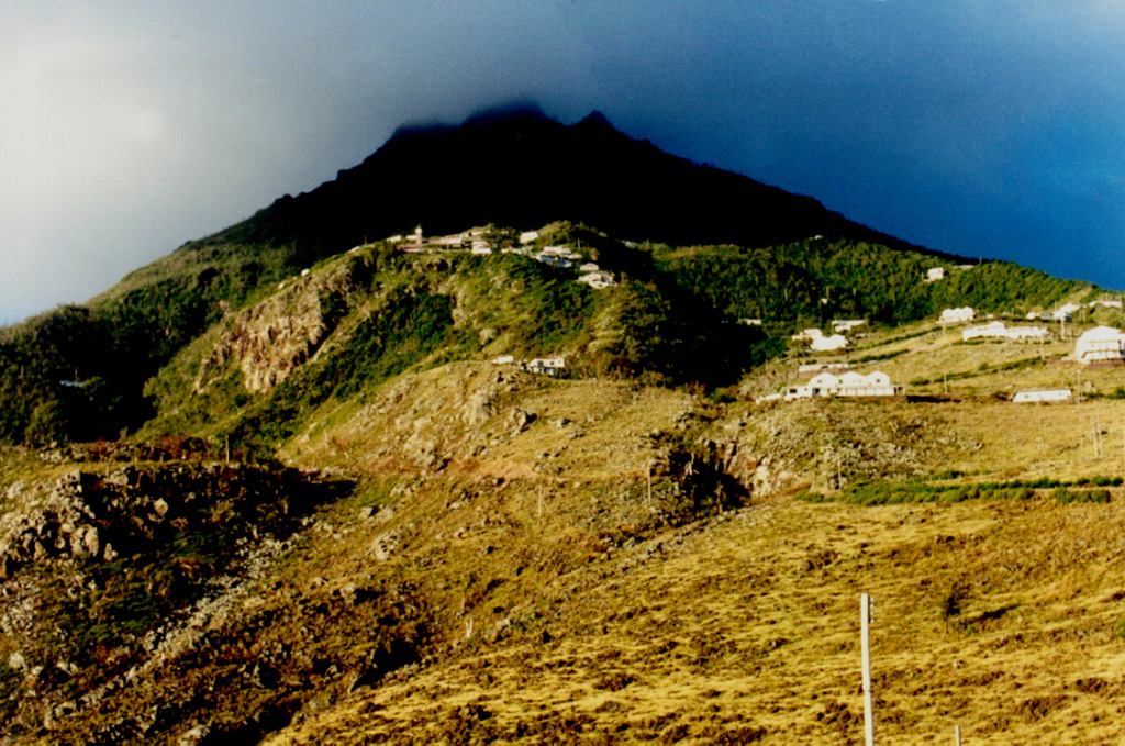
Saba, the northernmost active volcano of the West Indies, is a 5-km-diameter island forming the upper half of a large stratovolcano that rises 1,500 m above the sea floor. Its eruptive history is characterized by the emplacement of lava domes and associated pyroclastic flows. The summit, known as Mount Scenery (or The Mountain), is a Holocene lava dome that overtops a major collapse scarp that formed about 100,000 years ago. Flank domes were constructed on the SW, SE, E, and NE sides of the island near the coast. A large andesitic lava flow entered the sea on the NE flank, forming the Flat Point Peninsula. The village of The Bottom overlies pyroclastic-surge deposits that contain European pottery fragments and were radiocarbon dated at 280 +/- 80 years before present. The village was settled in 1640 CE on grassy meadows on the volcano's flanks reflecting initial vegetation recovery following destruction of tropical rainforests by pyroclastic flows and surges. Lava dome growth may also have occurred during this SW-flank eruption.
Saba Volcano — Netherlands
StratovolcanoType
1640Last eruption
887 mElevation
NetherlandsCountry
Advertisement
Recent earthquakes nearby
- …
Biggest historic earthquakes in the area
- …
Advertisement