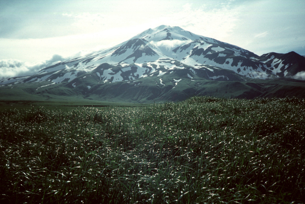
The 11.5 x 24 km island of Seguam, between Amlia and Amukta Islands in the central Aleutians, contains two calderas with Holocene post-caldera cones. Growth of the basaltic-to-rhyolitic Wilcox volcano on the east side of the island during the late Pleistocene was followed by edifice collapse and an associated ignimbrite eruption about 9,000 years ago, leaving a caldera open to the west, inside which a rhyolitic cone was constructed. The 3 x 4 km westernmost caldera has a central scoria cone, Pyre Peak, which rises above the caldera rim and is the source of most of the reported eruptions. A very young basaltic field surrounds Pyre Peak, and lava flows partially fill the caldera and reach the southern coast. Older Holocene lava flows were erupted from vents within the eastern caldera, and a monogenetic Holocene cone forms Moundhill volcano on the eastern tip of the island.
Seguam Volcano — United States
Advertisement
Recent earthquakes nearby
- …
Biggest historic earthquakes in the area
- …
Advertisement