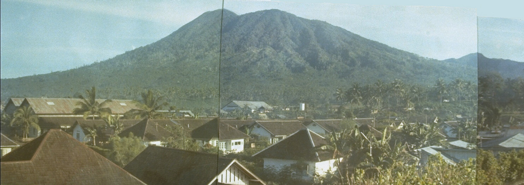
The eastern peninsula at the far NE end of Sulawesi near the city of Bitung is occupied by a volcanic complex consisting of two major edifices within a nature reserve. To the north is Tangkoko (also known as Tongkoko), with a large caldera (~3 x 1.5 km) elongated towards the SE from the highest rim point; the rim at the opposite end is more than 400 m lower. Eruptions occurred from the summit crater in the 17th century and in 1801, when the caldera also reportedly contained a cone surrounded by a lake. About 1.5 km down the outer E flank is the Batuangus (or Batu Angus) lava dome, formed in 1801, along with an adjacent vent (Baru Batuangus) that has been the source of all subsequent eruptions. The higher Duasudara (also Dua Suadara) edifice is ~4.5 km SW of the Tangkoko summit. A NE-facing scarp appears to have a hummocky debris flow that reaches the base of Tangkoko.
Tangkoko-Duasudara Volcano — Indonesia
Advertisement
Recent earthquakes nearby
- …
Biggest historic earthquakes in the area
- …
Advertisement