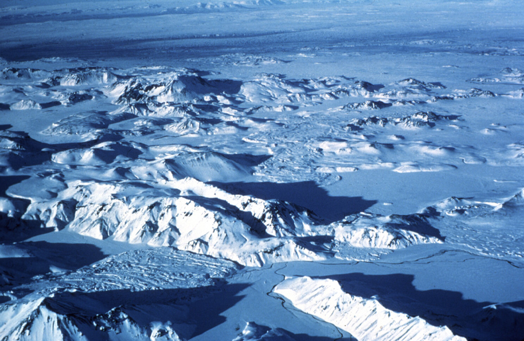
The Torfajökull central volcano, located north of Myrdalsjökull and south of Thorisvatn lake, is cut by a 12-km-wide caldera that formed during the Pleistocene. With about 225 km3 of silicic extrusive rocks exposed, it comprises the largest area of silicic and intermediate volcanism in Iceland. Work by Moles et al. (2019) identified the Ring Fracture Rhyolites as the source of the rhyolitic and trachyandesitic Thórsmörk Ignimbrite and the II-RHY-1 tephra, and dated them at 51.3 ± 4.2 ka (40Ar/39Ar). The dominantly rhyolitic complex rises about 500 m above surrounding basaltic plains and is elongated WNW-ESE. Most rhyolitic lava flows were erupted subglacially, with silicic hyaloclastites that form ridge and dome-shaped breccias. During postglacial times only a narrow fissure zone at the western end has been active, producing mostly silicic lava flows, domes, and tephras. The most recent silicic eruption produced the Hrafntinnuhraun flow about 900 CE. The fissure system is along trend with and was active at the same time as the basaltic Veidivötn fissure system of Bárdarbunga central volcano in 1477 CE. The small Torfajökull icecap lies mostly outside the SE rim of the caldera, which is the site of vigorous thermal activity over a broad area of 130-140 km2.
Torfajokull Volcano — Iceland
Advertisement
Recent earthquakes nearby
- …
Biggest historic earthquakes in the area
- …
Advertisement