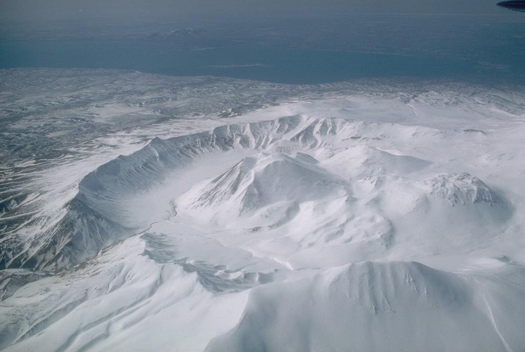
The Ugashik-Peulik volcanic complex lies south of Becharof Lake and east of Upper Ugashik Lake. Late-Pleistocene caldera formation was followed by the emplacement of at least five Holocene lava domes within the 4.5-km-wide caldera. Most of the caldera walls consist of basement sandstones of Jurassic age. Following caldera formation the small, 3 km3 Peulik stratovolcano grew 2.5 km to the N. Lava flows from Peulik cover the caldera rim to the south and extend to Becharof Lake, 6 km N. A small lava dome on the E flank of Peulik was the source of a small block-and-ash flow. The summit of Peulik contains a 1.5-km-wide crater breached to the west that is partially filled by a lava dome. Debris-avalanche deposits cover a 75 km2 area to the NW. A single documented historical eruption took place from Peulik in 1814.
Ugashik-Peulik Volcano — United States
Advertisement
Recent earthquakes nearby
- …
Biggest historic earthquakes in the area
- …
Advertisement