QuakeBeat

1948 Ashgabat Earthquake (M7.3) — Turkmenistan's Deadliest Disaster

M 7.3Magnitude
6 Oct 1948Date
~10,000 official; up to 110,000 est.Deaths
Advertisement

At 1:12 a.m. local time on 6 October 1948, a magnitude 7.3 earthquake struck about 25 km southwest of Ashgabat, the capital of the Turkmen Soviet Socialist Republic. The shaking lasted roughly ten seconds across two violent shocks and reached Modified Mercalli intensity X (Extreme) near the epicentre.
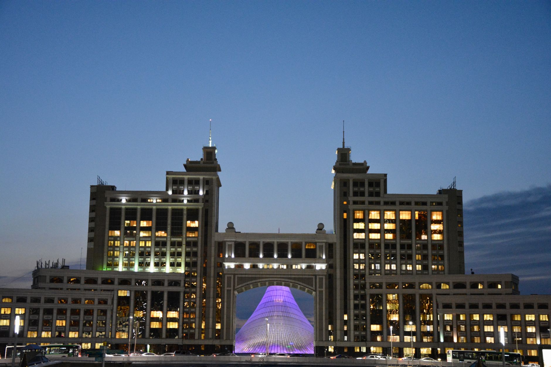
Desert city skyline at dusk, similar to Ashgabat before the 1948 earthquake

Almost every brick building in Ashgabat collapsed instantly; only reinforced concrete structures partially survived. Freight trains derailed, the aerodrome's landing strip cracked, and telephone and telegraph lines were severed across the city, though the water supply largely held.
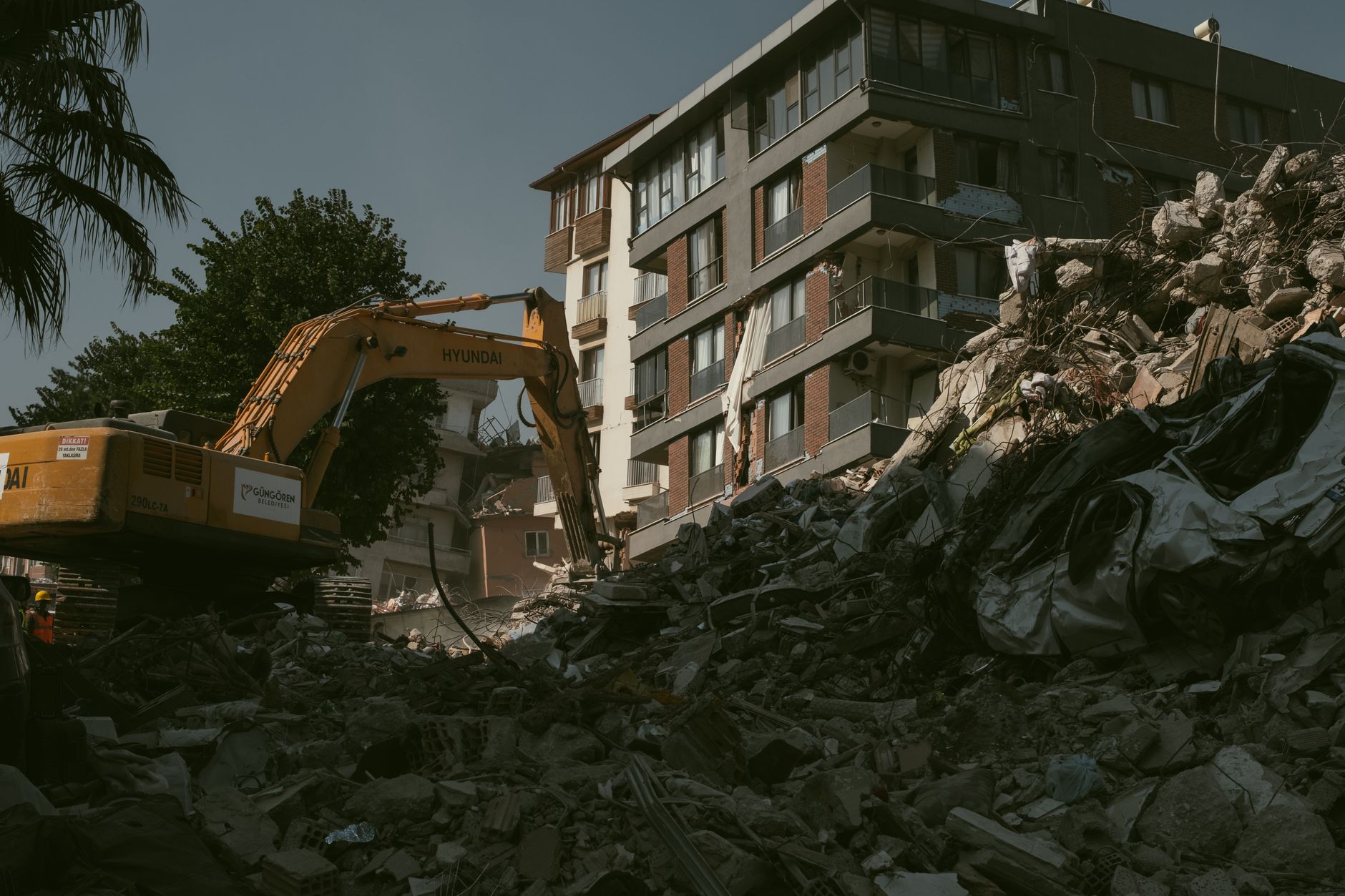
Collapsed building rubble after a major earthquake, the kind of destruction seen across Ashgabat in 1948

Soviet authorities censored the scale of the disaster for decades. The official death toll long stood at around 10,000, but post-Soviet historians and Turkmen sources now estimate the true figure as high as 110,000 — roughly a tenth of the entire Turkmen SSR population at the time. Among the dead was the mother of Saparmurat Niyazov, who later became independent Turkmenistan's first president.
Old railway tracks and station, the kind of infrastructure destroyed by the Ashgabat earthquake

USGS and NOAA's National Centers for Environmental Information (NCEI) both list the Ashgabat earthquake among the deadliest of the 20th century. Because Soviet censorship blocked outside reporting and delayed emergency aid, the city was rebuilt largely from scratch by Soviet planners over the following years — the foundation of the marble-clad capital independent Turkmenistan showcases today. The surrounding Kopet Dag fault zone remains seismically active, and Turkmenistan still faces significant earthquake hazard.

Frequently asked questions

How many people died in the 1948 Ashgabat earthquake?

The Soviet Union's official figure was around 10,000, but that number is now widely regarded as a severe undercount. Post-Soviet estimates put the true death toll as high as 110,000, roughly 10% of the Turkmen SSR's population at the time.

Why was the true death toll hidden for so long?

Soviet censorship rules banned public reporting of the disaster's real scale. Historians note this secrecy also limited the emergency aid and resources the Soviet government allocated to the recovery.

What magnitude was the Ashgabat earthquake?

It measured magnitude 7.3 on the surface-wave scale, with a shallow, violently destructive rupture that produced Modified Mercalli intensity X (Extreme) shaking near the epicentre.

Where exactly did the earthquake strike?

The epicentre was near the village of Gara-Gaudan, about 25 km southwest of Ashgabat, the capital of what was then the Turkmen Soviet Socialist Republic.

Did Ashgabat rebuild after the earthquake?

Yes. The city was almost completely reconstructed by Soviet planners over the following decades and later became the capital of independent Turkmenistan in 1991, known today for its extensive white-marble architecture.

Is Turkmenistan still at risk of major earthquakes?

Yes. Ashgabat sits near the Kopet Dag fault system along the Iran-Turkmenistan border, one of Central Asia's most seismically active zones, and remains exposed to future large earthquakes.

Advertisement

See the biggest earthquakes →

See also

Tangshan 1976Shaanxi 1556 — deadliest everBiggest earthquakes in history