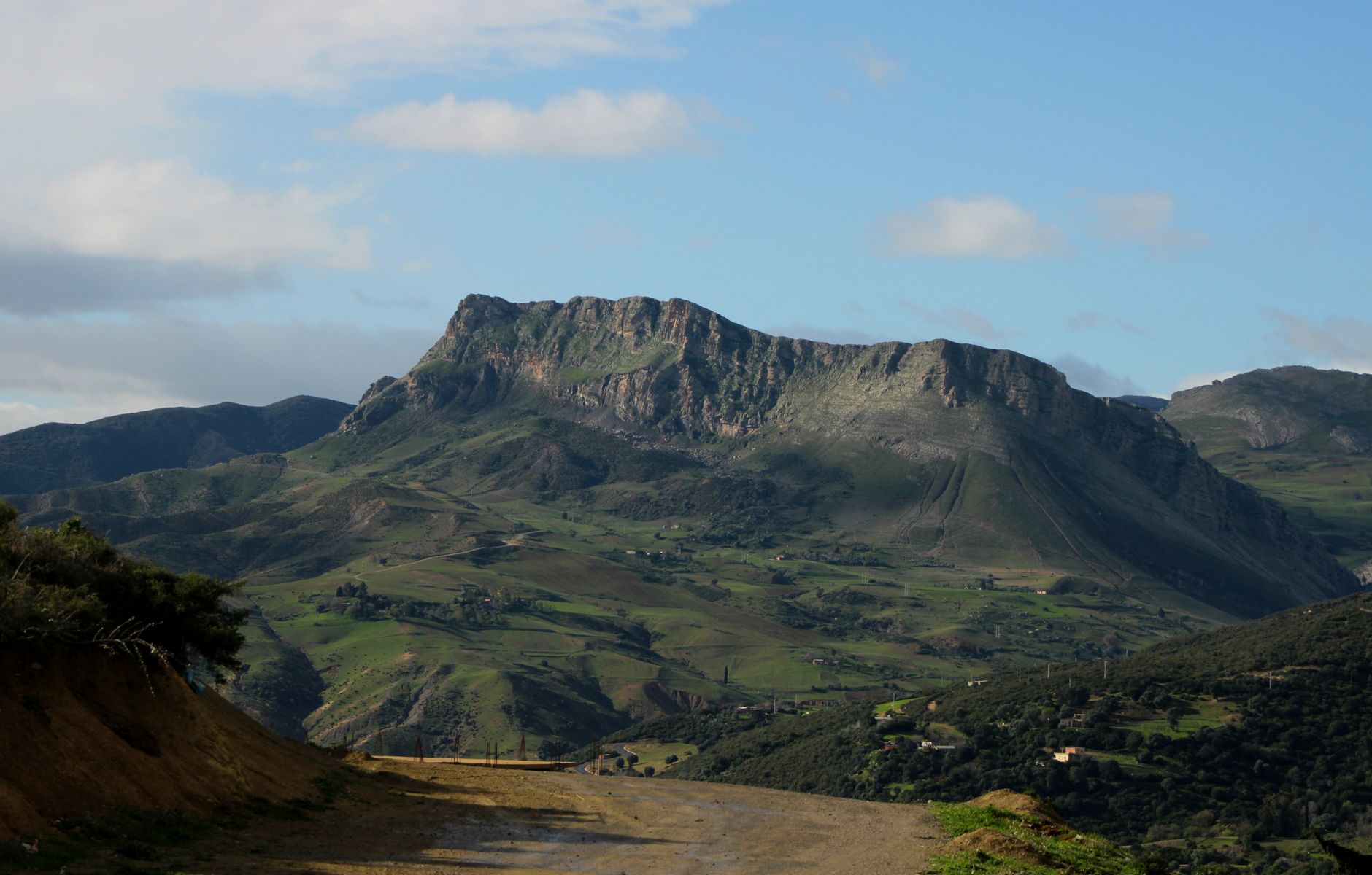
At 13:25 local time on 10 October 1980, a magnitude 7.1 earthquake struck the city of El Asnam (renamed Chlef shortly afterward) in north-western Algeria, rupturing roughly 42 km of surface fault with vertical displacement of up to 4.2 metres in places — one of the clearest surface ruptures ever documented in North Africa.
Estimates of the dead range from about 2,633 to 5,000, with 8,369 to 9,000 more injured, after much of the city's housing and public buildings collapsed. A powerful magnitude 6.2 aftershock struck just three hours later, hampering rescue efforts and terrifying survivors who had already fled into the streets.
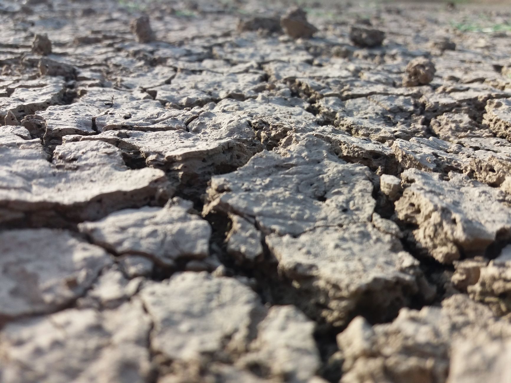
The quake registered a maximum Modified Mercalli intensity of X (Extreme) and remains the strongest earthquake ever instrumentally recorded in Algeria. It struck the same Tell Atlas fault region that had already destroyed the town in a smaller 1954 earthquake, underscoring the area's persistent seismic hazard.
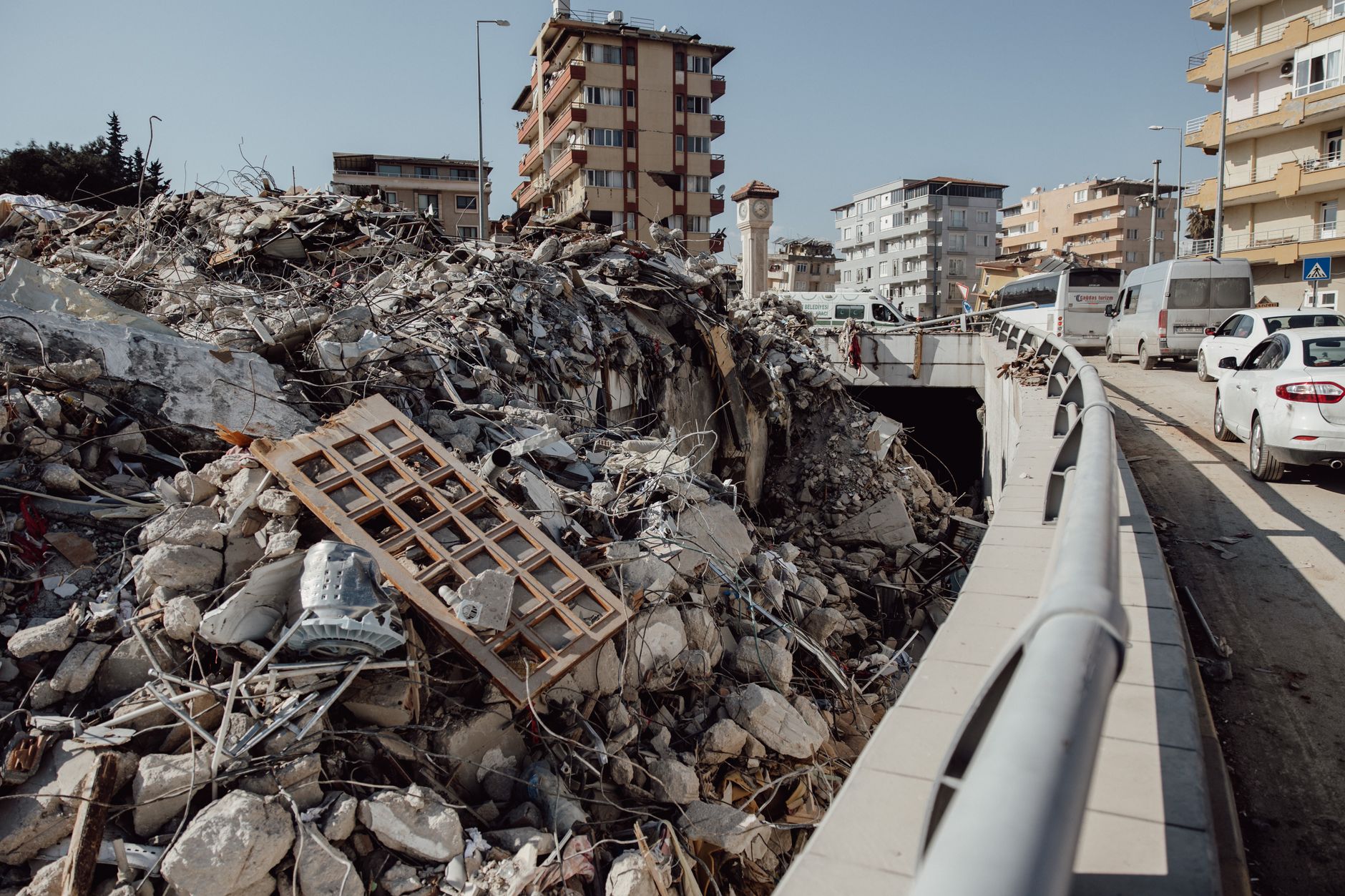
The 1980 disaster forced Algeria to rebuild Chlef with reinforced, earthquake-resistant construction and to adopt its first modern national seismic building code. The Tell Atlas fault system remains under close monitoring today and produced another damaging sequence in the Boumerdès region east of Algiers in 2003.