At 00:02 NZDT on 14 November 2016, a magnitude 7.8 earthquake struck North Canterbury on New Zealand's South Island, centred near the town of Kaikōura. Rather than breaking along a single fault, the rupture jumped and cascaded across more than 20 separate faults in barely two minutes — the most geologically complex earthquake ever studied with modern instruments, forcing seismologists to revise assumptions about how far a rupture can travel between faults not previously thought to be connected.
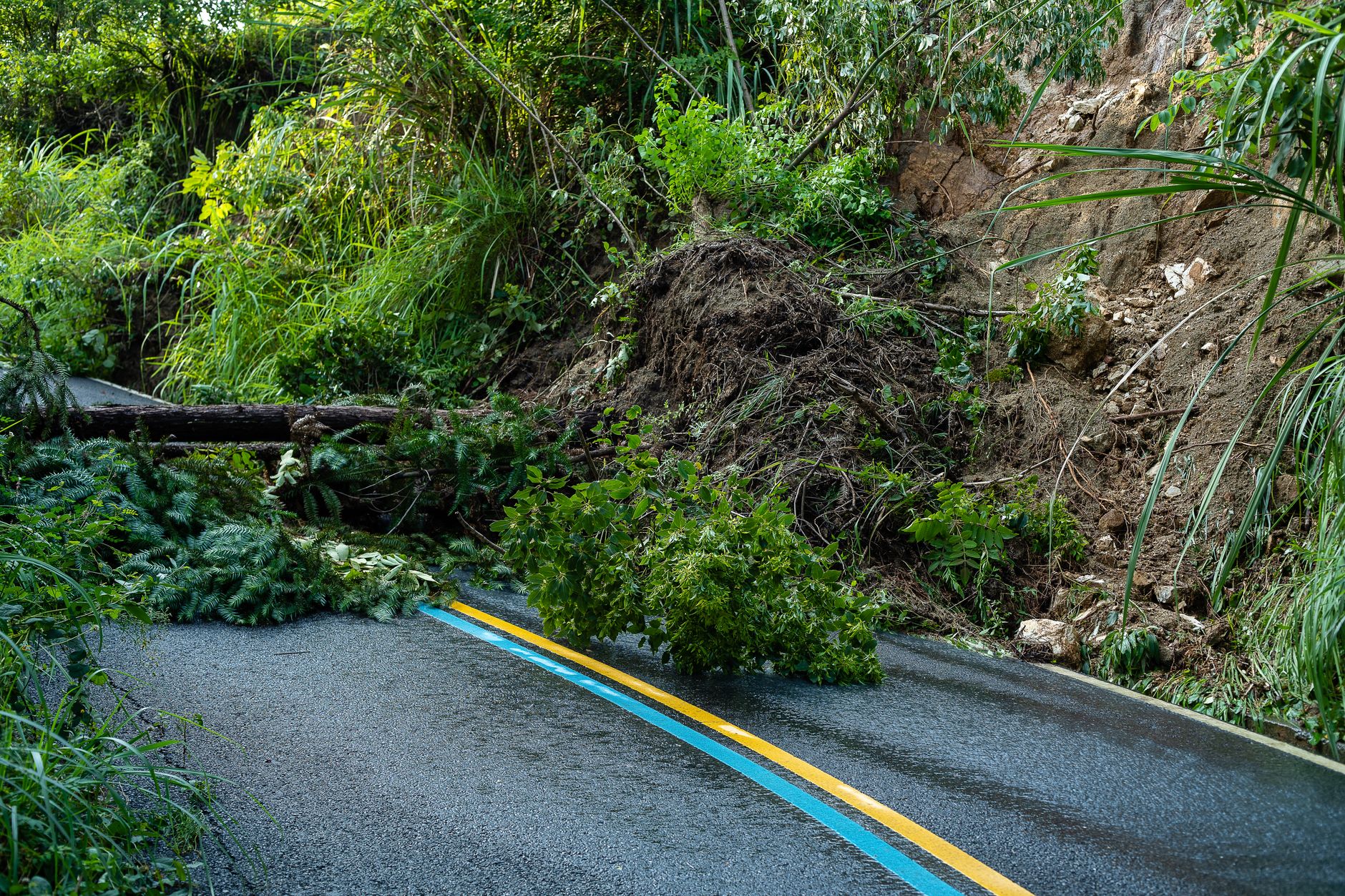
Only two people died — one in Kaikōura and one at the Mt Lyford ski resort — a remarkably low toll for a quake of this size, largely thanks to New Zealand's strict building codes and the region's low population density. The Kekerengu Fault slipped by as much as 10-12 metres at the surface, one of the largest strike-slip displacements ever recorded, while massive landslides buried State Highway 1 and the Main North rail line north of Kaikōura, cutting off the coastal town by land for weeks and requiring a temporary sea and air supply link.
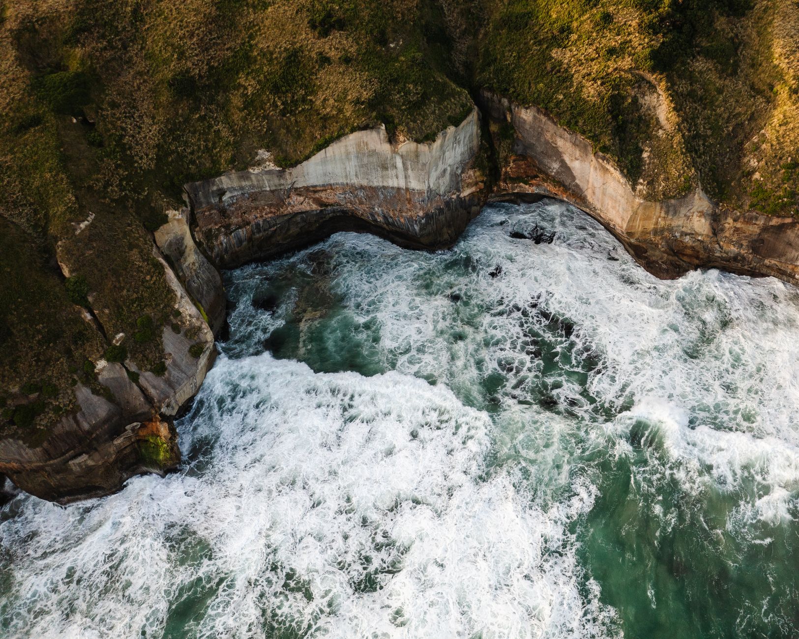
The rupture also triggered New Zealand's largest tsunami since 1947, with the GeoNet monitoring network recording a run-up of about 7 metres at Goose Bay and similar heights at Little Pigeon Bay on Banks Peninsula; the waves arrived within minutes along parts of the coast, too fast for a formal warning to reach some communities before the water arrived.
GNS Science and international researchers have used Kaikōura as a reference case for 'cascading' multi-fault earthquakes, reshaping seismic hazard models not just for New Zealand's Alpine Fault system but for other complex plate-boundary zones worldwide, including parts of California and Japan where multiple mapped faults sit close enough together to interact in a similar chain reaction.
The disaster also exposed how vulnerable a single stretch of coastal infrastructure can be: with State Highway 1 and the rail line both severed at the same point north of Kaikōura, New Zealand's transport agency spent more than a year and hundreds of millions of dollars reopening the route, and the town's tourism-dependent economy took years to recover fully.