In the early hours of 31 May 1935, at around 3:03 a.m. local time, a magnitude 7.7 earthquake ruptured the Ghazaband Fault about 4 km southwest of Ali Jaan in Balochistan, British India. The shallow, 15 km-deep rupture struck directly beneath Quetta, a garrison city of roughly 60,000 people, with almost no warning.
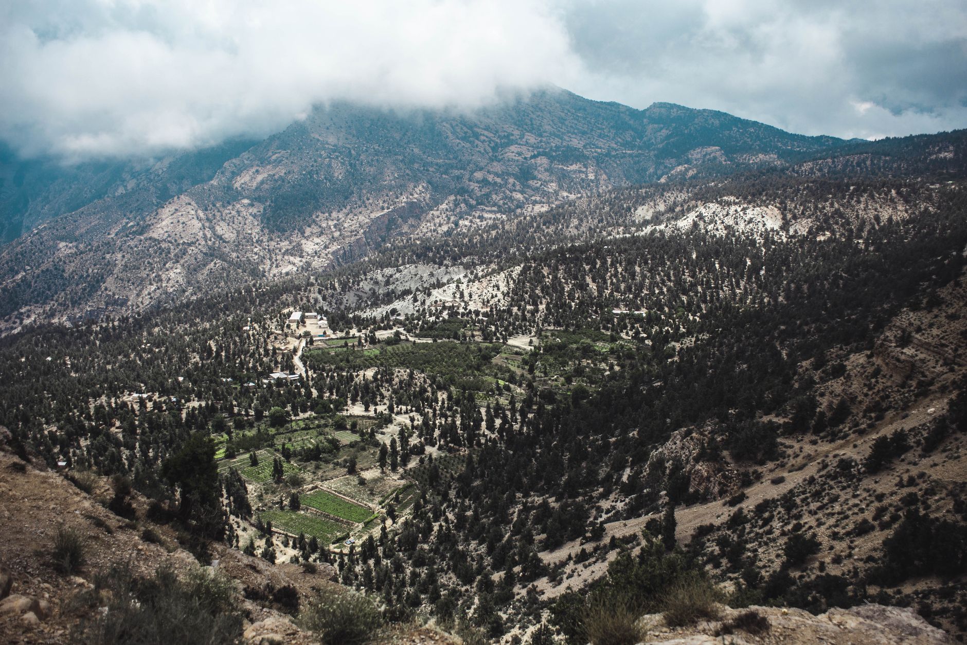
The city was, in the words of contemporary reports, razed to the ground. Quetta's railway facilities, markets and military cantonment were devastated; of 27 Royal Air Force aircraft based at the airfield, only six remained operational. Villages between Quetta and Kalat were destroyed outright, and a magnitude 5.8 aftershock on 2 June 1935 struck further towns including Mastung and Kalat.
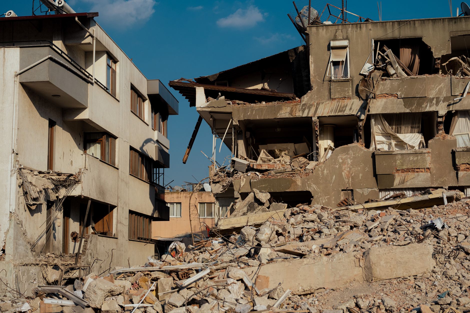
Estimates of the dead range from about 30,000 to 60,000, out of a city population of roughly 60,000 — making it South Asia's deadliest recorded earthquake until the 2005 Kashmir disaster. British Army units led the rescue effort, and several soldiers were later awarded gallantry medals for pulling survivors from the rubble.
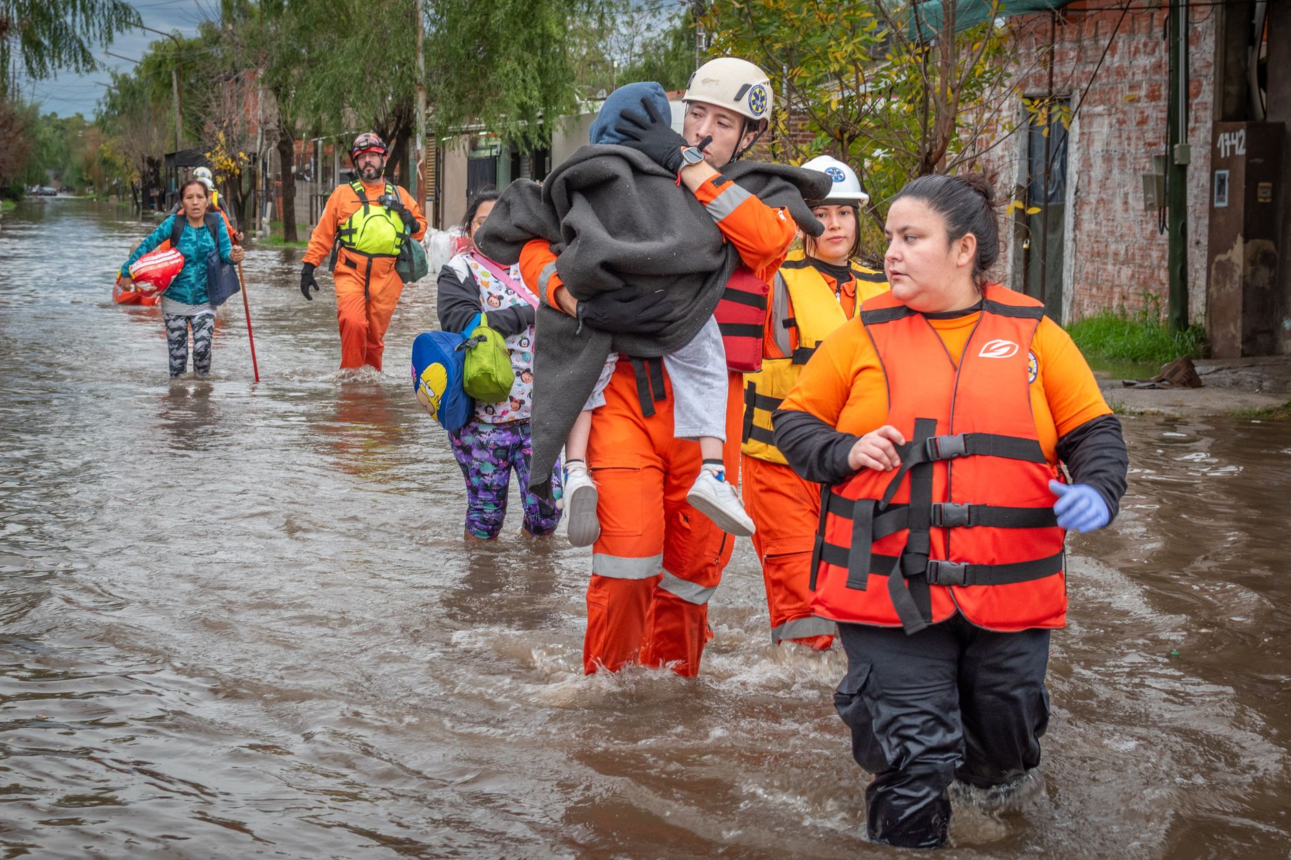
The colonial government's response was unusually thorough: after demolishing the surviving ruins, authorities imposed the 1937 Quetta Building Code, mandating reinforced masonry and foundation designs and restricting building heights — one of the only times the British administration enforced seismic standards across an entire city. USGS and NOAA's NCEI Significant Earthquake Database both list Quetta 1935 among the deadliest quakes of the 20th century, and engineers credit the code with helping newer buildings survive a subsequent major regional earthquake in 1955.