Peru is one of the most seismically active countries on Earth. The Nazca tectonic plate slides beneath the South American plate along the Peru-Chile trench off the Pacific coast at a rate of about 7 centimetres per year, generating massive subduction-zone earthquakes and a deep subducting slab that extends far inland beneath the Andes mountains. This is the same subduction zone that produced the magnitude 9.5 Valdivia earthquake in Chile in 1960 — the most powerful earthquake ever recorded.
Earthquakes in Peru Today: Live Map 2026

Advertisement
Latest quakes in this area
- Loading…
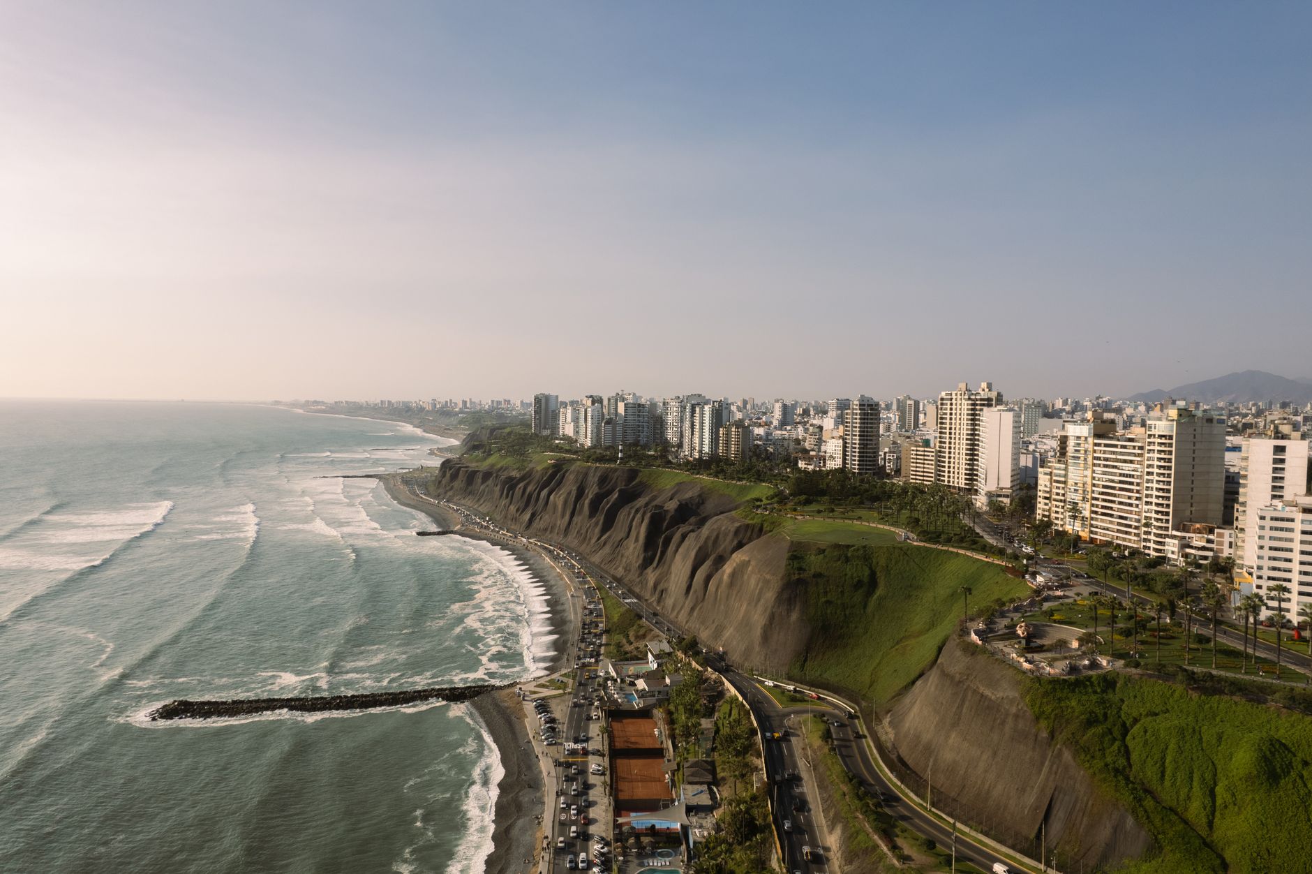
Lima, Peru's capital and largest city, sits directly above this subduction zone on a narrow Pacific coastal plain. Major seismic events regularly strike Peru's coast and central highlands. The 1960 Great Chilean Earthquake's tsunami devastated Peru's coastline, and the 1970 Ancash earthquake (magnitude 7.9) killed about 70,000 people in the Andes region, making it one of the deadliest earthquakes of the 20th century. Further south, the 2001 southern Peru earthquake (magnitude 8.4) struck near Arequipa and triggered a tsunami that devastated the coastal town of Camaná. More recently, the 2019 Moquegua earthquake (magnitude 8.0) struck south of Lima.
Modern Peru has established the National Seismological Network (Red Sísmica Nacional) to monitor seismic activity and provide early warning. Building codes in Peru's major cities have been strengthened in response to historical disasters. The Andes mountains host numerous active faults in addition to the subduction-zone hazard, so seismic activity is recorded across the entire country from coast to high mountains. Live seismic monitoring shows Peru experiences dozens of earthquakes daily, most too small to feel.
Advertisement