At 20:33 UTC on 23 June 2001 (15:33 local time), a magnitude 8.4 earthquake ruptured the Peru-Chile Trench roughly 6 km south-southwest of the town of Atico, at a depth of about 32 km. It was one of the largest earthquakes recorded worldwide since 1965, generated where the Nazca Plate dives beneath the South American Plate.
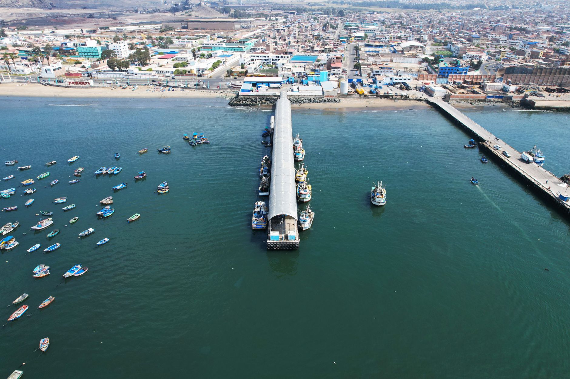
The shaking killed dozens of people outright and injured more than 3,800 across the Arequipa, Camaná and Tacna region, where up to 70% of buildings in Arequipa were damaged. Minutes later a local tsunami with runup of 5 to 8 metres slammed into the coast near Camaná, flooding more than a kilometre inland and killing 26 people. Combined, the earthquake and tsunami left more than 150 people dead.
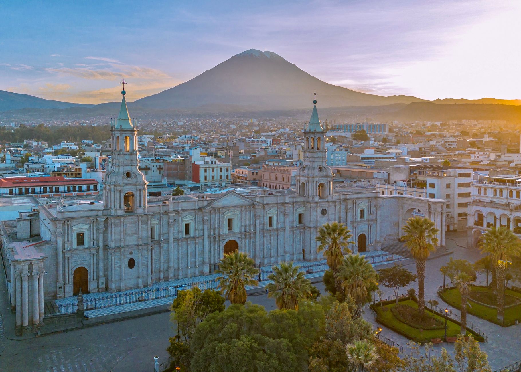
Seismologists later showed the rupture filled part of a gap on the same subduction segment that produced an estimated magnitude-9 earthquake in 1868 — 133 years earlier — making 2001 a rare, well-documented case of a subduction zone finally releasing stress that had been building for over a century.
The disaster exposed how little tsunami awareness existed along Peru's southern coast: many Camaná residents had no warning and did not recognise the retreating sea as a danger sign. Peru's civil defence agency has since expanded coastal evacuation signage and drills, using 2001 as the reference event for tsunami planning in the region.