In the late afternoon of 13 August 1868, a great earthquake estimated at magnitude 8.5 to 9.0 struck the coast near Arica, then part of southern Peru (the province was ceded to Chile after the War of the Pacific in 1929). The rupture occurred along the same Peru-Chile subduction trench that has repeatedly produced some of the largest earthquakes ever recorded, where the Nazca Plate dives beneath the South American Plate.
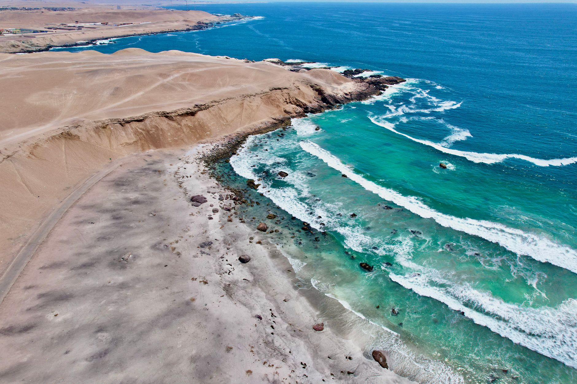
The shaking levelled Arica and damaged towns along hundreds of kilometres of coastline, but the tsunami that followed did far more damage. Waves estimated at 12 to 16 metres swept through the harbour, destroying the port and famously carrying the American warship USS Wateree nearly a kilometre inland, where its hull was left stranded and became a landmark for years afterward. Death toll estimates vary widely across historical sources, from roughly 25,000 to as high as 70,000 across the region, reflecting the difficulty of counting casualties in a 19th-century disaster spread across multiple towns.
NOAA's National Centers for Environmental Information (NCEI) lists the 1868 Arica earthquake in its Global Historical Tsunami Database as one of the most far-reaching tsunami events on record: the wave crossed the entire Pacific, striking Hawaii with a run-up of around 4.6 metres and killing several people, and was recorded as far away as New Zealand and Japan roughly a day after the quake — a scale of transoceanic destruction rivalled only by events like Valdivia 1960 nearly a century later.
The 1868 rupture is now understood by seismologists as one in a recurring sequence of great earthquakes along the same stretch of the Peru-Chile trench, alongside later events such as the 2001 Peru and 2014 Iquique earthquakes. Studying the segment's past ruptures remains central to assessing the tsunami hazard facing coastal cities across northern Chile and southern Peru today.