A belt of fire around the Pacific
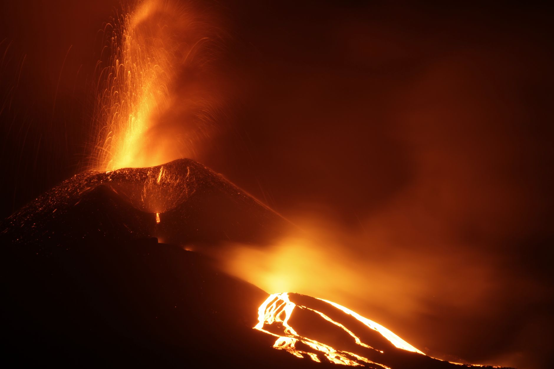
The Pacific Ring of Fire is a horseshoe-shaped zone about 40,000 kilometers long that traces the rim of the Pacific Ocean. It runs up the western coast of South and North America, across the Aleutian Islands, and down through Japan, the Philippines, Indonesia, and New Zealand. Along this arc sits the highest concentration of active volcanoes and earthquakes on the planet.
The numbers are striking. Roughly 90 percent of the world's earthquakes and about 75 percent of its active volcanoes occur along the Ring of Fire. It is home to more than 450 volcanoes, which is why the region is central to any discussion of natural hazards and disaster preparedness.
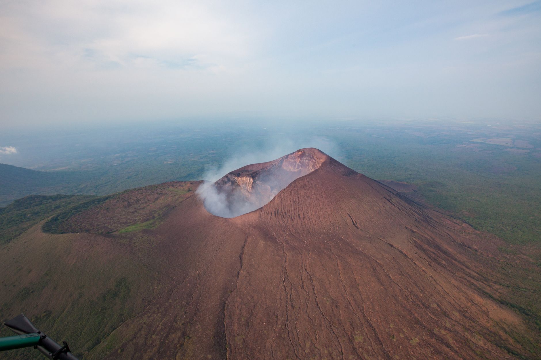
Plate tectonics is the engine
The Ring of Fire exists because it marks the boundaries of several tectonic plates, including the vast Pacific Plate and the smaller plates that surround it. The Earth's rigid outer shell is broken into these plates, which drift slowly on the hotter, ductile mantle beneath. Where the plates meet, enormous forces build and release, producing quakes and eruptions.
Most of the Ring is defined by convergent boundaries, where one plate collides with another. But it also includes transform boundaries, such as the San Andreas Fault in California, where plates grind past each other sideways. The variety of boundary types is why the region produces such a wide range of earthquakes and volcanic behavior.
Subduction zones and their power
The signature feature of the Ring of Fire is subduction, where a dense oceanic plate dives beneath a lighter continental or oceanic plate. As the descending slab sinks into the mantle, it releases water that lowers the melting point of surrounding rock, generating magma that rises to feed chains of volcanoes on the surface above.
Subduction zones also produce the largest earthquakes on Earth. Megathrust quakes, like the magnitude 9.0 Tohoku event off Japan in 2011 and the 1960 magnitude 9.5 Chile earthquake, the strongest ever recorded, happen where a locked plate boundary suddenly slips over hundreds of kilometers. These same zones can generate destructive, ocean-crossing tsunamis.
Living with the Ring of Fire
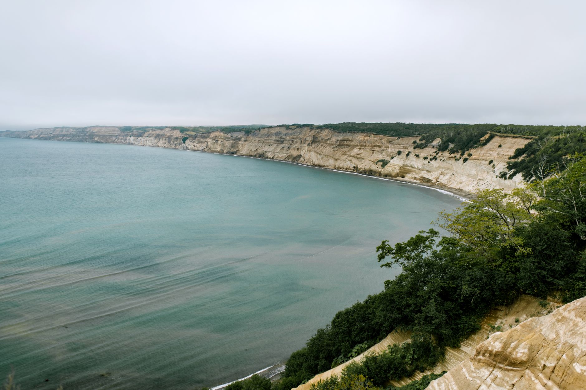
Hundreds of millions of people live within the Ring of Fire, in cities such as Tokyo, Santiago, Manila, Lima, and along the entire US West Coast. The very geology that threatens them also brings benefits: fertile volcanic soils, rich mineral deposits, and abundant geothermal energy that some nations harness for electricity.
Because the hazard is constant, countries around the Pacific invest heavily in monitoring networks, strict seismic building codes, tsunami warning systems, and public drills. The Ring of Fire is not a single event but a permanent geological reality, and the communities along it have learned to build resilience into daily life.
Frequently asked questions
Why is it called the Ring of Fire?
It is called the Ring of Fire because its horseshoe shape, tracing the rim of the Pacific Ocean for about 40,000 kilometers, is lined with more than 450 active and dormant volcanoes — a literal ring of fire-producing mountains that also happens to be the most seismically active zone on Earth.
What percentage of the world's earthquakes happen in the Ring of Fire?
Roughly 90 percent of the world's earthquakes and about 75 percent of its active volcanoes occur along the Ring of Fire, because it marks the boundaries where the Pacific Plate and surrounding smaller plates collide, subduct, or slide past one another.
Which countries are part of the Ring of Fire?
The Ring of Fire runs through Chile, Peru, Mexico, the western United States and Canada, Alaska and the Aleutian Islands, Russia's Kamchatka Peninsula, Japan, the Philippines, Indonesia, Papua New Guinea, and New Zealand — a chain of countries that together host most of the planet's volcanic and seismic hazard.
What causes the Ring of Fire?
The Ring of Fire exists because it follows the boundaries of the Pacific Plate and neighboring tectonic plates. Most of it is defined by subduction zones, where a dense oceanic plate dives beneath another plate, melting rock that feeds volcanic chains and generating the largest earthquakes on Earth.
Has the biggest earthquake ever recorded happened on the Ring of Fire?
Yes. The 1960 Valdivia earthquake in Chile, magnitude 9.5 and the strongest ever instrumentally recorded, struck along the Ring of Fire's South American subduction zone. The 2011 Tohoku earthquake in Japan (M9.0) is another example of a megathrust quake generated by the same system.