Starting on 5 February 1783, a sequence of five major earthquakes with estimated magnitudes of 5.9 or greater struck Calabria, then part of the Kingdom of Naples, over nearly two months. The largest, on 5 February, is estimated at around magnitude 7.0, with epicentres aligned along a roughly 100 km stretch from the Straits of Messina to south-west of Catanzaro. Further large shocks followed on 6 and 7 February, 1 March and 28 March.
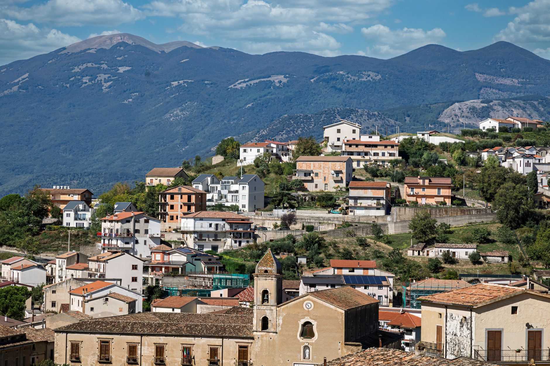
Estimates of the total death toll range from about 32,000 to 50,000 across the sequence, with entire towns in the Calabrian plain — including Oppido Mamertina, Terranova and Seminara — levelled or buried by landslides triggered by the shaking on the region's soft alluvial soils. The first two earthquakes also generated tsunamis on the Tyrrhenian coast, adding further casualties.
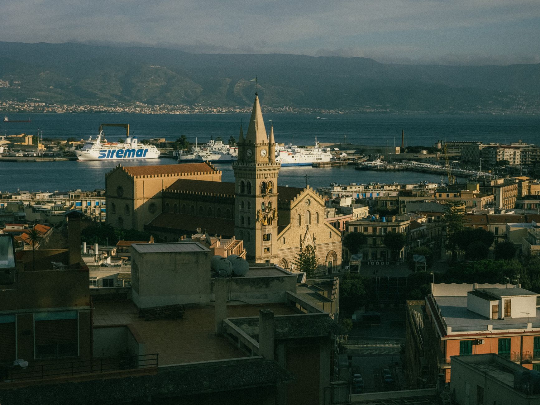
The disaster prompted an unusually rigorous scientific response for its era: the Royal Academy of Sciences of Naples sent a commission to survey the destruction in detail, producing systematic county-by-county reports on damage patterns, ground effects and casualties that historians consider one of the earliest examples of organised earthquake science — a forerunner of modern seismic hazard investigation more than a century before formal seismology existed.
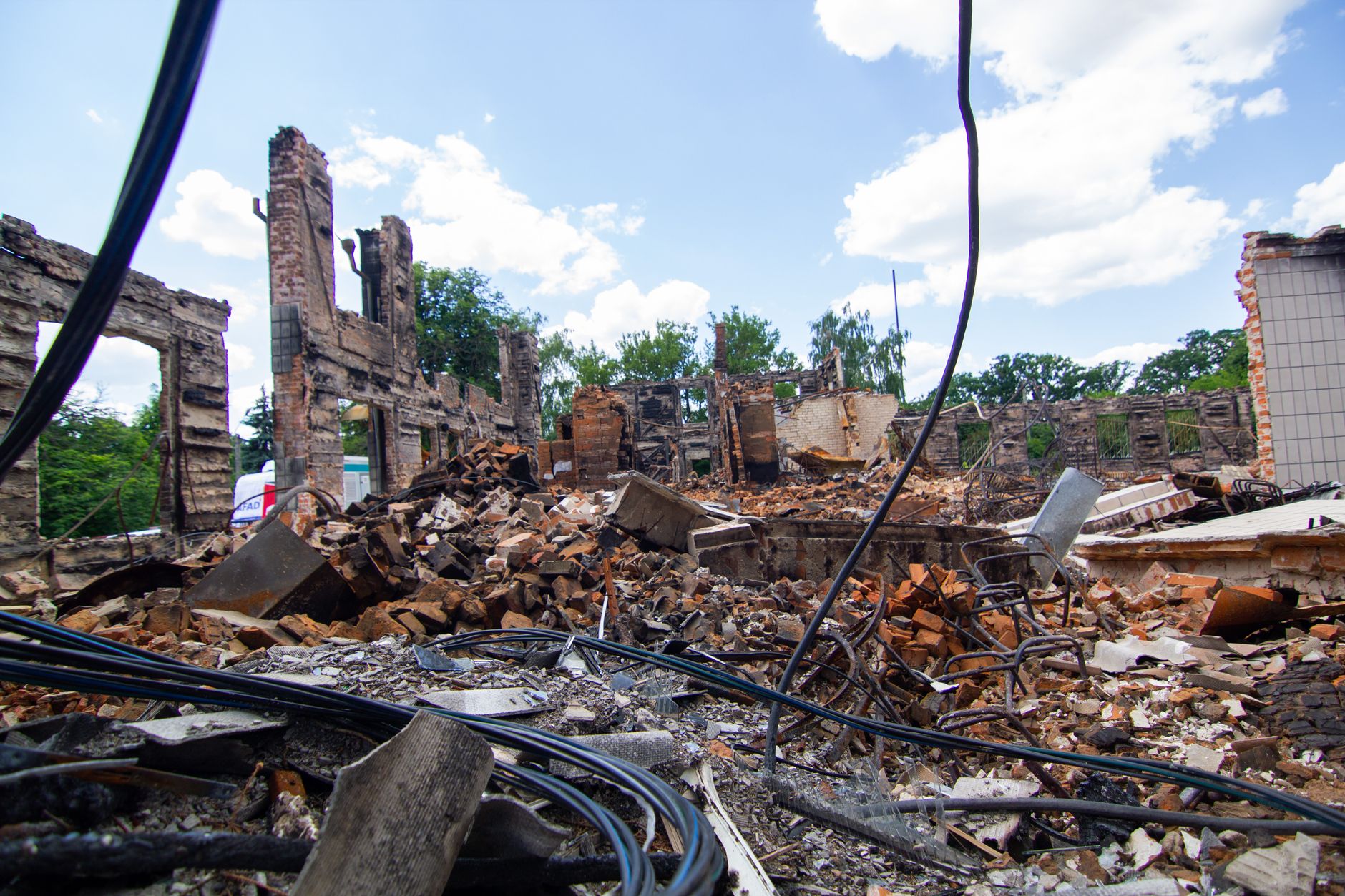
NOAA's National Centers for Environmental Information (NCEI) catalogues the 1783 Calabria sequence among history's deadliest earthquake disasters. Calabria remains one of the most seismically hazardous regions in Europe, on the same fault system that later produced the catastrophic 1908 Messina earthquake and tsunami just up the coast.