At 11:33 local time on 13 January 2001, a magnitude 7.7 earthquake ruptured along the Middle America Trench roughly 100 km off the Pacific coast of El Salvador, at a depth of about 60 km. It was the strongest earthquake to hit the country in decades, and it struck a nation still recovering from twelve years of civil war.
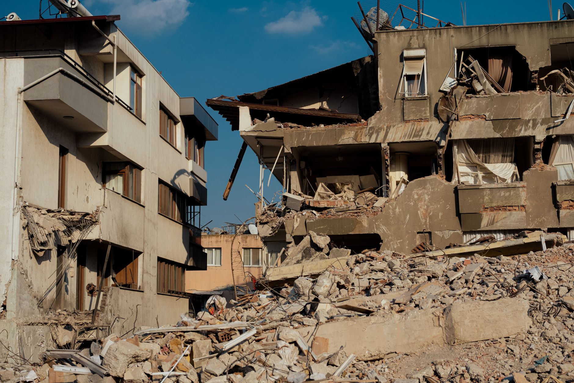
The quake killed 944 people in El Salvador and 8 more in neighbouring Guatemala, injured over 5,500 and left almost 200 missing. Roughly 108,000 houses collapsed outright and another 170,000 were damaged, affecting more than 1.3 million people — over a fifth of the population.
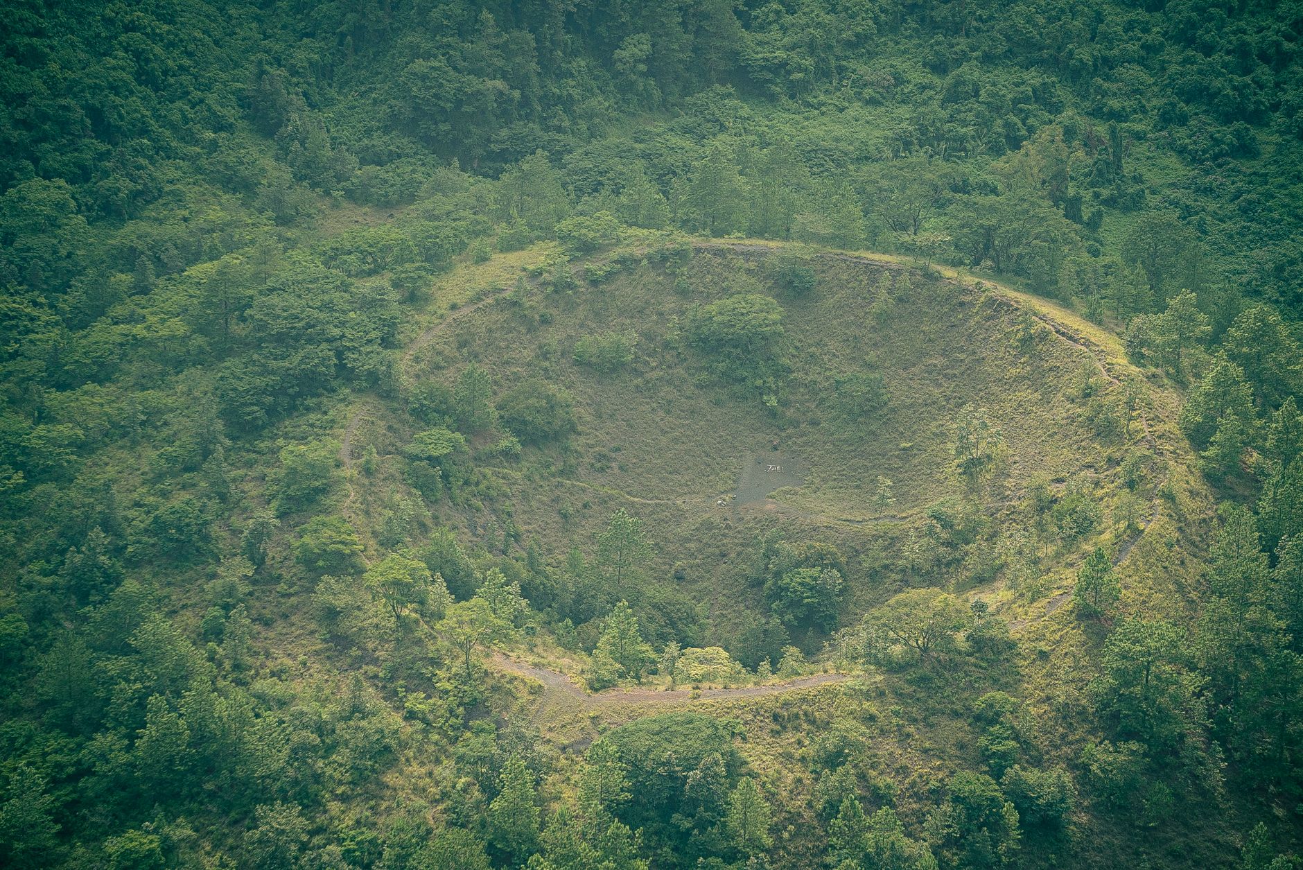
The single deadliest event was the Las Colinas landslide in Santa Tecla, on the outskirts of the capital San Salvador. Intense shaking dislodged around 130,000 cubic metres of saturated volcanic soil from a deforested hillside, which slid onto a residential neighbourhood in seconds and killed roughly 585 people — one of the worst earthquake-triggered landslides recorded in Central America.
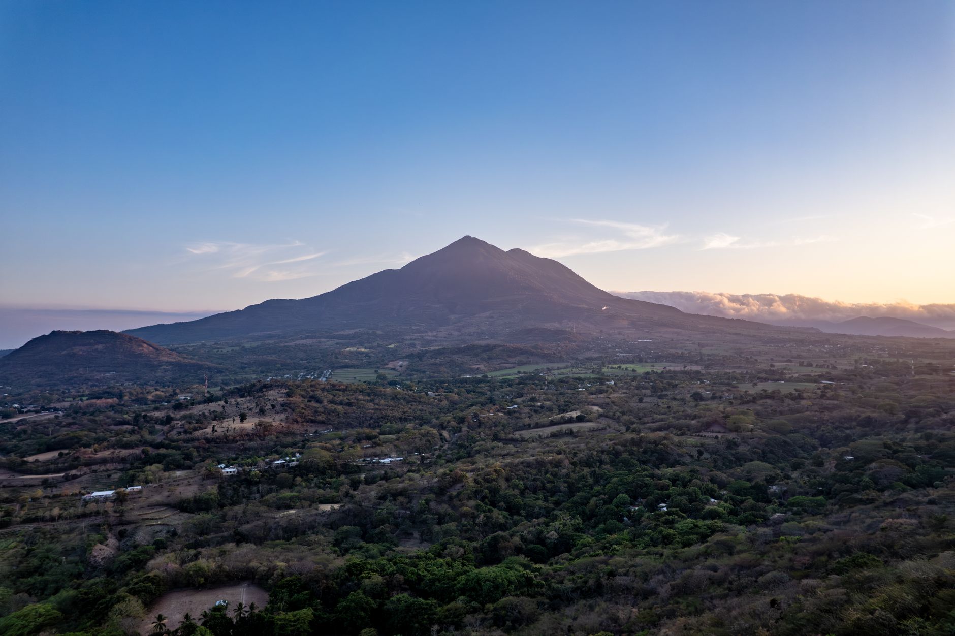
A second, shallower magnitude 6.6 earthquake struck exactly one month later, on 13 February, deepening the damage and displacing survivors who had already lost their homes. Together, the two quakes exposed how unregulated hillside construction and deforestation around San Salvador had left dense, poor neighbourhoods dangerously exposed, and pushed El Salvador toward stricter land-use rules focused on slope stability, not just building strength.