At 20:46 local time on 1 April 2014 (23:46 UTC), a magnitude 8.2 earthquake struck off the coast of northern Chile, its epicentre about 95 km north-west of the port city of Iquique. USGS located the rupture at a depth of roughly 20-25 km, on the subduction boundary where the Nazca Plate dives beneath the South American Plate.

The quake killed 11 people and injured around 200, and it triggered a tsunami with a maximum run-up of 4.6 m recorded at Arica and about 2.1 m at Iquique itself, arriving roughly 20 minutes after the shaking. Chile's tsunami warning system triggered a large-scale evacuation of the northern coast, and more than a million people felt the shaking. Around 8,300 homes were damaged, and a prison wall collapse in Iquique briefly let hundreds of inmates escape before most returned voluntarily.
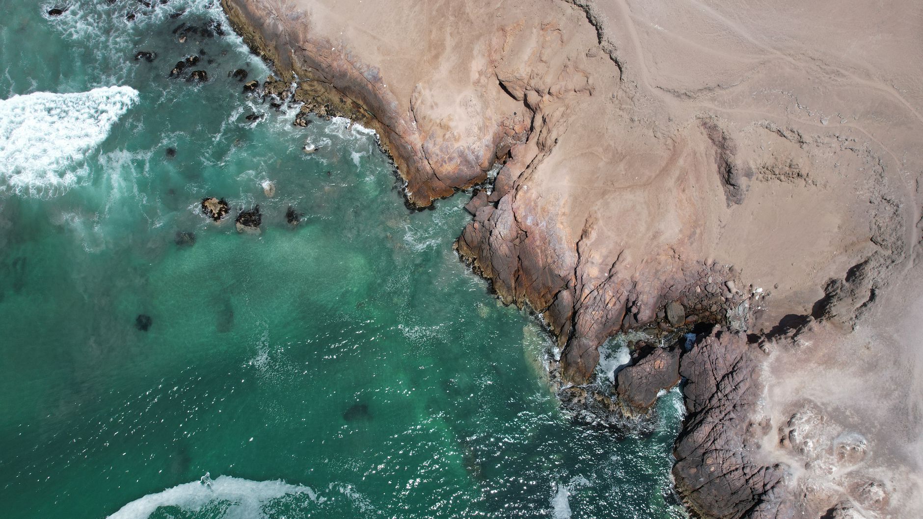
Seismologists had watched this stretch of coast for decades as the 'Iquique seismic gap', a segment of the Chile-Peru subduction zone that had not ruptured since a great earthquake in 1877 and was considered overdue for a major event. The 2014 mainshock, preceded by weeks of foreshocks, ruptured only about 200 km of the roughly 600 km gap, and was followed a day later by a large M7.7 aftershock — meaning much of the accumulated strain in the gap is thought to remain unreleased.
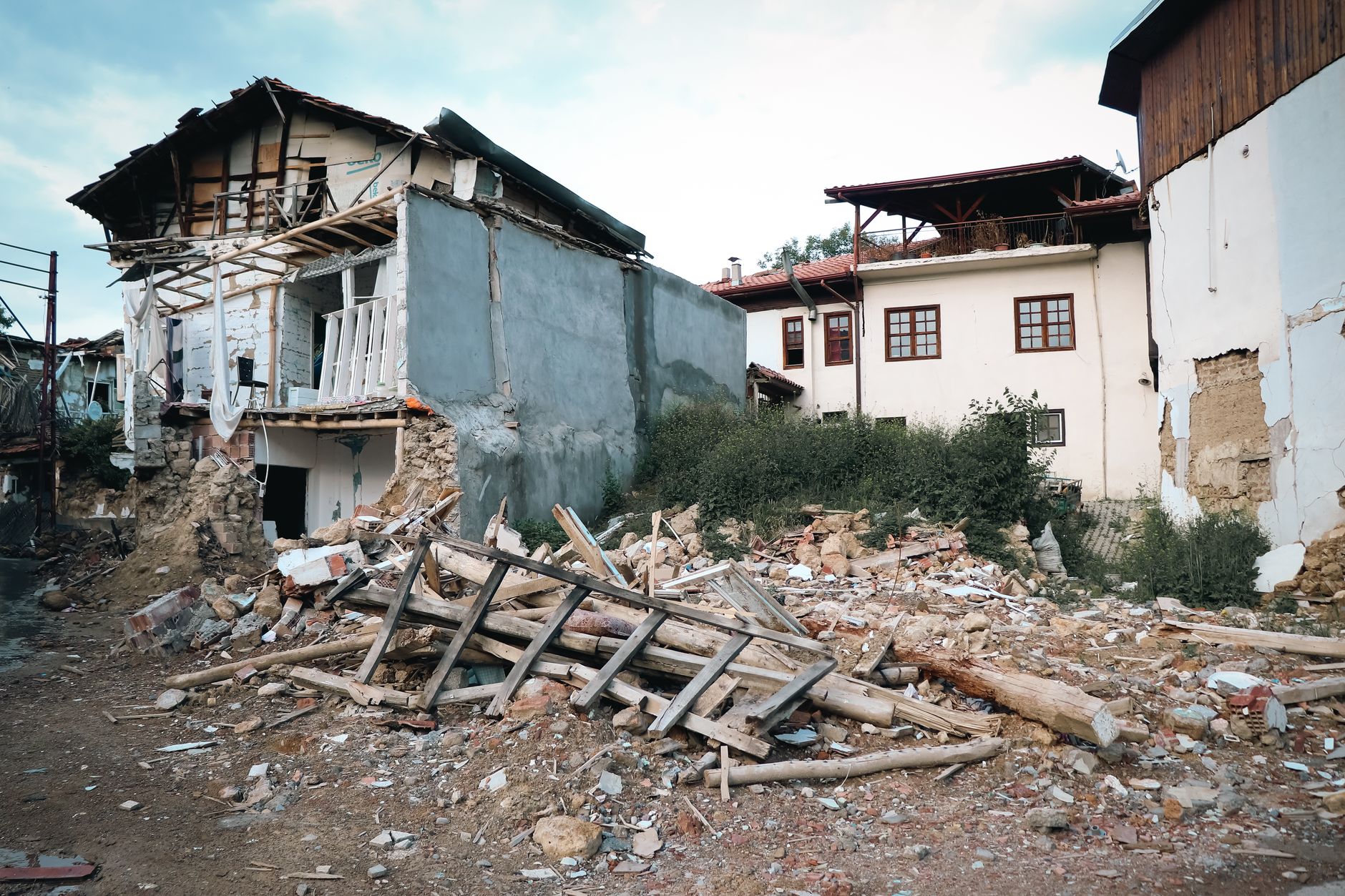
Because Chile enforces some of the world's strictest seismic building codes, the death toll stayed far lower than earthquakes of similar magnitude elsewhere. The event is a reference case for Chile's National Seismological Center and for tsunami-early-warning research, and the still-unruptured portion of the gap keeps this stretch of the Atacama coast under close monitoring today.