At 10:47 a.m. on 3 February 1931, a magnitude 7.8 earthquake struck about 15 km north of Napier, on New Zealand's North Island, rupturing a steeply dipping thrust fault roughly 14-20 km deep on the Hikurangi subduction margin, where the Pacific Plate grinds beneath the Australian Plate. The shaking lasted two and a half minutes and was felt across most of the North Island.
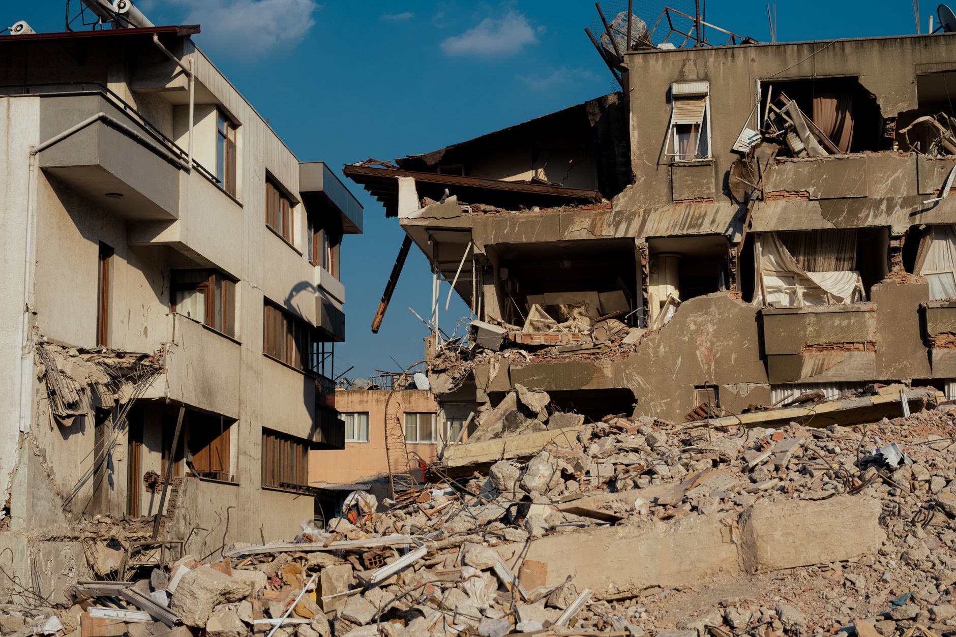
The quake killed 256 people — 161 in Napier, 93 in Hastings and 2 in Wairoa — making it the deadliest natural disaster in New Zealand's history. Much of the destruction in the two town centres came not from the shaking alone but from fires that broke out afterwards, several sparked by flammable chemicals in chemist shops, which burned for days and destroyed buildings the earthquake had merely damaged.
The rupture also reshaped the coastline: land and sea floor across an area roughly 90 km long and 15 km wide rose by as much as 2.7 metres. The uplift drained about 3,600 hectares of the Ahuriri Lagoon next to Napier, turning tidal seabed into dry land that today holds farms, industrial estates and Napier's airport.

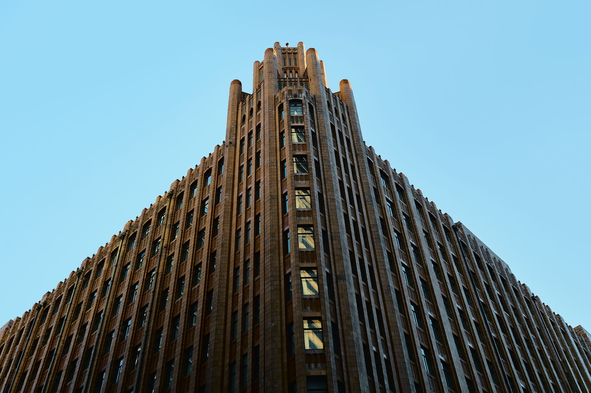
Napier and Hastings were rebuilt within two to three years, and Napier's city centre — 111 new buildings between 1931 and 1933 — went up almost entirely in the low, reinforced-concrete Art Deco style then in fashion, since two-storey Art Deco buildings suited the new earthquake-resistant codes. That unified rebuild left Napier one of the most intact collections of Art Deco architecture anywhere in the world, now a UNESCO-nominated tourist drawcard, while GNS Science continues to monitor the Hikurangi subduction margin that produced the 1931 rupture.