QuakeBeat

2004 Sumatra Earthquake (M9.1): The Boxing Day Tsunami That Killed 228,000

M 9.1Magnitude
26 Dec 2004Date
~228,000Deaths
Advertisement

On 26 December 2004, a magnitude 9.1 megathrust earthquake ruptured off the west coast of northern Sumatra, along the boundary between the India and Burma plates. The fault slipped over a length of roughly 1,300 kilometres, making it one of the longest ruptures ever documented and the shaking lasted for several minutes. It was among the three most powerful earthquakes recorded since modern instruments existed.

Powerful tropical ocean waves — the kind that formed the 2004 Indian Ocean tsunami

The sudden vertical displacement of the seafloor launched a series of tsunami waves across the entire Indian Ocean. The waves struck coastlines in Indonesia, Sri Lanka, India, Thailand and as far away as East Africa, catching millions of people with no warning system in place. Around 228,000 people were killed across fourteen countries, making it one of the deadliest natural disasters in recorded history.

Fishing village on the Indonesian coast, similar to communities devastated in Aceh in 2004

The Indonesian province of Aceh, closest to the epicentre, suffered the greatest loss of life, with entire coastal communities obliterated. The catastrophe exposed the total absence of a tsunami warning network in the Indian Ocean and led directly to the creation of one. It also triggered one of the largest humanitarian relief efforts ever mounted.
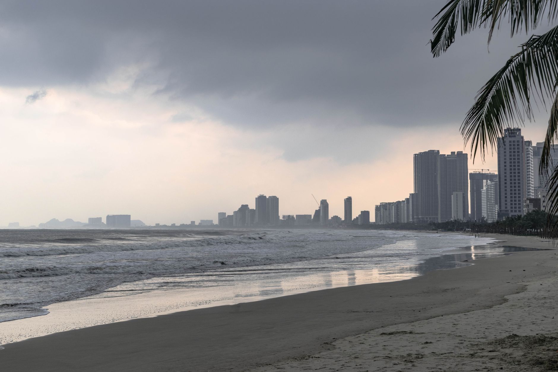
Tropical beach coastline in Southeast Asia, the kind of shoreline struck by the 2004 tsunami

The disaster led directly to the creation of the Indian Ocean Tsunami Warning System, launched in 2006 with dozens of seismic stations and deep-ocean buoys feeding data to national warning centres. The quake released so much energy that it measurably shortened the length of Earth's day by a few microseconds and slightly shifted the planet's mass distribution. Every 26 December, Indonesia, Thailand, Sri Lanka and other affected nations still hold memorial services for the estimated 228,000 victims.

NOAA's National Centers for Environmental Information (NCEI) lists the 2004 Indian Ocean tsunami as the deadliest event in its global historical tsunami database, with field surveys confirming runup heights exceeding 30 metres at points on Sumatra's western coast. Tide-gauge and DART deep-ocean buoy records from the event directly shaped the design of the Indian Ocean Tsunami Warning System launched in 2006, and NCEI's Significant Earthquake Database ranks the roughly 1,300 km rupture length among the longest ever recorded for a single earthquake anywhere on Earth.

Frequently asked questions

What caused the 2004 Sumatra earthquake and tsunami?

A magnitude 9.1 megathrust earthquake ruptured roughly 1,300 km of the boundary between the India and Burma plates off northern Sumatra, vertically displacing the seafloor and launching tsunami waves across the entire Indian Ocean.

How many people died in the 2004 Indian Ocean tsunami?

Around 228,000 people were killed across fourteen countries, making it one of the deadliest natural disasters ever recorded.

Which countries were hit hardest by the 2004 tsunami?

Indonesia's Aceh province, closest to the epicentre, suffered the greatest loss of life, followed by Sri Lanka, India and Thailand; waves also reached as far as Somalia and other parts of East Africa.

Why wasn't there a tsunami warning system in the Indian Ocean in 2004?

No coordinated tsunami detection or alert network existed for the Indian Ocean at the time, unlike the Pacific, because major tsunamis there had been comparatively rare in living memory before 2004.

How long was the fault rupture in the Sumatra earthquake?

The rupture extended roughly 1,300 kilometres along the fault, one of the longest single-earthquake ruptures ever documented by seismologists.

Did the Sumatra earthquake affect the Earth itself?

Yes — the energy released was large enough to measurably shorten the length of Earth's day by a few microseconds and slightly shift the planet's mass distribution, effects confirmed by later geophysical studies.

What warning system exists in the Indian Ocean now?

The Indian Ocean Tsunami Warning System, launched in 2006, uses dozens of seismic stations and deep-ocean buoys feeding real-time data to national warning centres across the region.

How does Sumatra 2004 compare to the biggest earthquakes ever recorded?

At M9.1, it ties with the 2011 Tōhoku earthquake as the fourth most powerful earthquake ever instrumentally recorded, behind Valdivia 1960 (M9.5), Alaska 1964 (M9.2) and Kamchatka 1952 (M9.0).

Advertisement

See the biggest earthquakes →

See also

What is a tsunami?Tōhoku 2011Pacific Ring of Fire