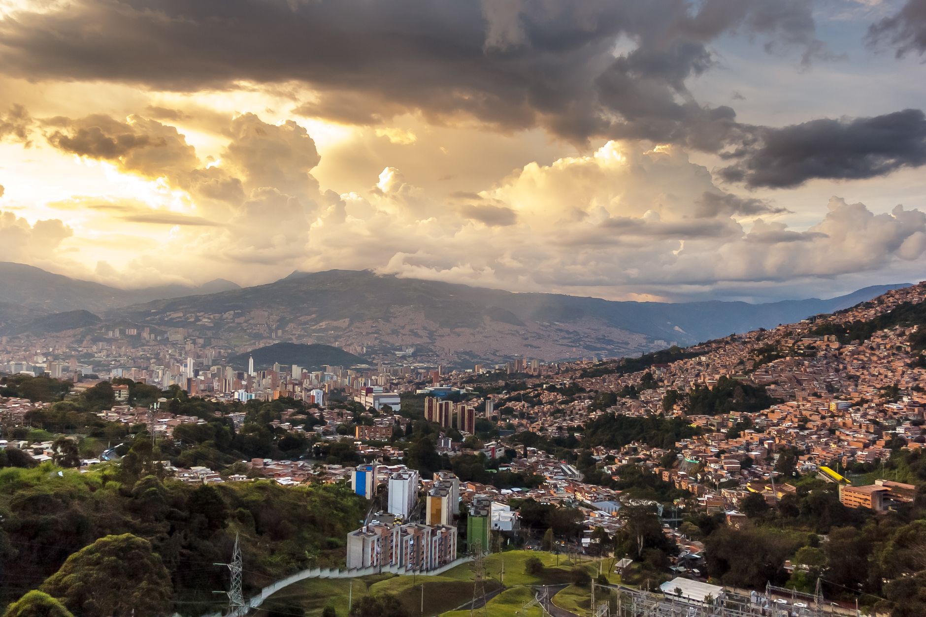
Caracas, Venezuela's capital of roughly 3 million people, is squeezed into a narrow valley between the Ávila mountain range and the Caribbean coast, sitting almost directly above the Boconó Fault — a major strike-slip structure that absorbs much of the oblique collision between the Caribbean and South American tectonic plates. That position has given the city one of the deadliest earthquake records in South America.
Caracas Earthquakes Today: Live Map & the 1812 & 1967 Disasters
Advertisement
Latest quakes in this area
- Loading…
On 26 March 1812, an earthquake estimated at magnitude 7.3-7.7 destroyed most of colonial Caracas and several other Venezuelan towns, killing an estimated 15,000 to 20,000 people nationwide — a disaster still studied for how completely it flattened the era's masonry construction. Almost 150 years later, on 29 July 1967, a magnitude 6.5 earthquake centred offshore near La Guaira killed around 240 people when several modern high-rise towers in eastern Caracas collapsed; engineers later found that the valley's soft alluvial sediments amplified shaking at exactly the resonant frequency of mid-rise buildings, a discovery that reshaped Venezuela's seismic building codes.
FUNVISIS (Fundación Venezolana de Investigaciones Sismológicas) runs Venezuela's national seismic network and monitors the Boconó and San Sebastián fault systems that pass near and beneath the capital. Because much of Caracas still rests on the same soft valley-fill blamed for the 1967 collapses, seismologists continue to rank it among Latin America's highest earthquake-risk capitals, even after decades of relative quiet.
See also
Advertisement